
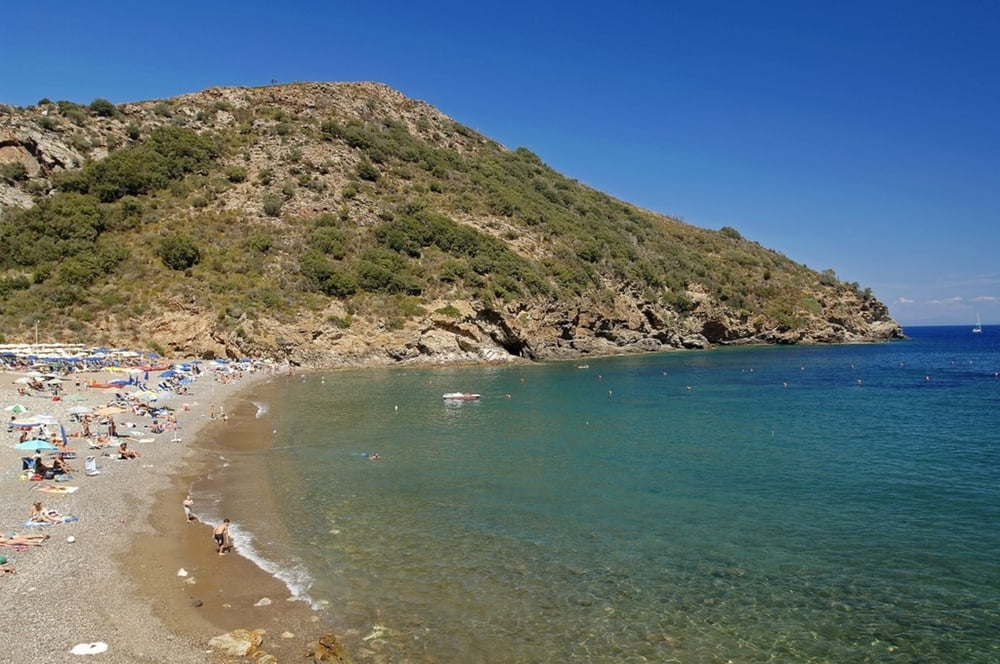

Dal parcheggio difronte al distributore beyfin si sale a rio nell'elba, qualche scala di riscaldamento e alla rotonda si prende una sterrata che diventa stretta ripida e difficile. Sbucati in cima al monte si prende lo splendido single trail a sinistra che portetà alla strada della parata. Attenzione all'ultimo chilometro molto difficle. Si risale per asfalto e alla rotonda si prende la sterrata a fianco del cimitero. Si scende fino a Rio Marina per prendere a destra la strada panoramca per ortano. Bellissimo single trail fino alla spiaggia, tecnico il giusto, non difficilissimo, panaramico insomma imperdibile. Attreversata la spiaggia si rientra per sterrata fino al punto di partenza.
Tour map and elevation profile
Minimum height 10 m
Maximum height 310 m
More about the tour author

|
mikyross |
Comments

italia toscana livorno isola d'elba rio nell'elba parcheggio difronte al distributore di benzina beyfin
GPS tracks
Trackpoints-
GPX / Garmin Map Source (gpx) download
-
TCX / Garmin Training Center® (tcx) download
-
CRS / Garmin Training Center® (crs) download
-
Google Earth (kml) download
-
G7ToWin (g7t) download
-
TTQV (trk) download
-
Overlay (ovl) download
-
Fugawi (txt) download
-
Kompass (DAV) Track (tk) download
-
Track data sheet (pdf) download
-
Original file of the author (gpx) download
More about the tour author
|
|
mikyross |
Add to my favorites
Remove from my favorites
Edit tags
Open track
My score
Rate