Login

Forgot your login?

Cookies have to be accepted!
Your browser's cookie functionality is disabled. Please enable this functionality.

Not a member yet?

Register now
Login

Available for registred users only

Log in to use this feature.

Forgot your login?

Cookies have to be accepted!
Your browser's cookie functionality is disabled. Please enable this functionality.

Not a member yet?

Register now
Filter
Categories
Advanced filters
  • Distance (km)
  • Height
Save filters Reset filter

TrackRank

QRCode

Technical data

Distance52,7 km Height464 m Way down483 m Duration02:10 h:m Date12.08.2014
Scores Author Landscape Fun factor Fitness Technique

Statistics

189 Views Scores 6 Downloads Average
Rate
  • Track data sheet
  • Directions
  • Downloads
Von Zeil richtung westen bis Gädheim. Über dem Main, durch die Weindörfer, bis nach Hundelshausen. Die Steigerwaldhöhenstrasse hoch , bei Eschenau runter ins Maintal und zurück.
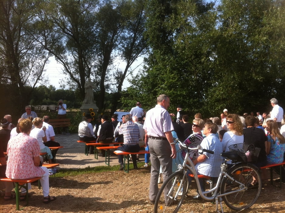
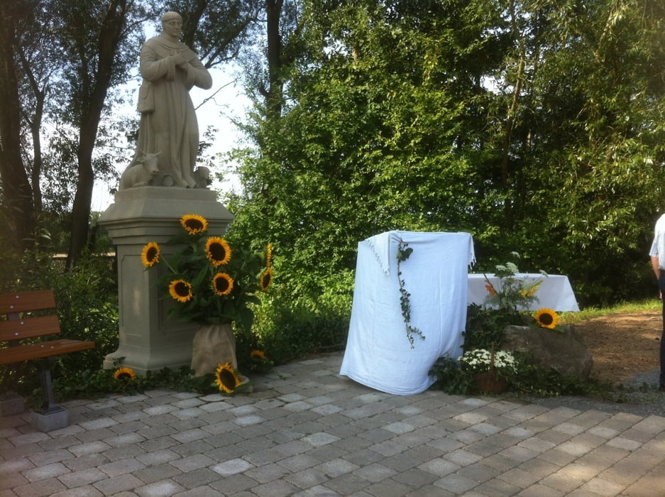
Tour gallery

Tour map and elevation profile

  • Open Street Map
  • Google
Minimum height 212 m Maximum height 469 m Detailed view

More about the tour author

Astro
Member since 2009

Send private message

Comments

Zeil liegt in der Mitte zwischen Schweinfurt und Bamberg, über B26 und A73 gut erreichbar

GPS tracks

Trackpoints
  • GPX / Garmin Map Source (gpx) download
  • TCX / Garmin Training Center® (tcx) download
  • CRS / Garmin Training Center® (crs) download
  • Google Earth (kml) download
  • G7ToWin (g7t) download
  • TTQV (trk) download
  • Overlay (ovl) download
  • Fugawi (txt) download
  • Kompass (DAV) Track (tk) download
  • Track data sheet (pdf) download
  • Original file of the author (gpx) download

More about the tour author

Astro
Member since 2009

Send private message
Share track
Add to my favorites
Remove from my favorites
Edit tags
My score
Rate
Track: Von Zeil am Main in die Mainauen und über den Steigerwald zurück
Type: Road biking
Distance: 52,7 km
Evaluated on:
Duration:
Day(s)
Hour(s)
Minute(s)
Score: Landscape Fun factor Fitness Technique