Login

Forgot your login?

Cookies have to be accepted!
Your browser's cookie functionality is disabled. Please enable this functionality.

Not a member yet?

Register now
Login

Available for registred users only

Log in to use this feature.

Forgot your login?

Cookies have to be accepted!
Your browser's cookie functionality is disabled. Please enable this functionality.

Not a member yet?

Register now
Filter
Categories
Advanced filters
  • Distance (km)
  • Height
Save filters Reset filter

TrackRank

QRCode

Technical data

Distance30,1 km Height503 m Way down496 m Duration02:20 h:m Date12.08.2014
Scores Author Landscape Fun factor Fitness Technique

Statistics

600 Views Scores 114 Downloads Average
Rate
  • Track data sheet
  • Directions
  • Downloads

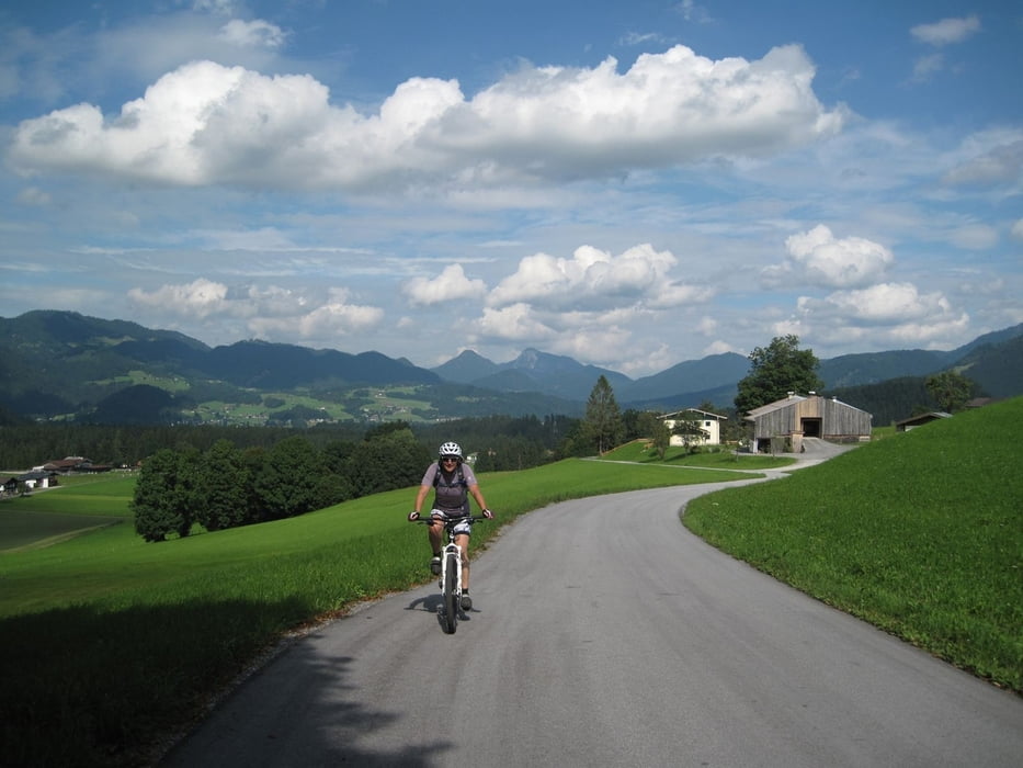
Von Reit im Winkl geht zunächst Richtung Birnbach, durch die Golfanlage und hinunter nach Kössen.
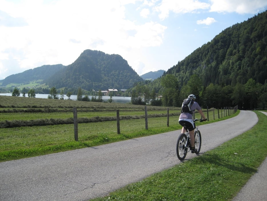
Der Radroute folgend geht es erneut durch eine Golfanlage zum Walchsee.
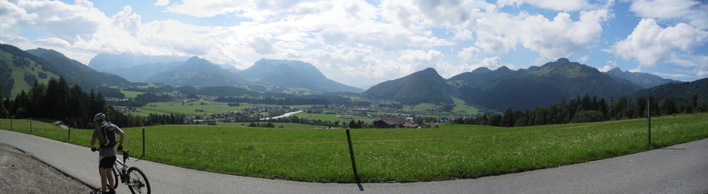
Zurück unterhalb der Harau Spitze vorbei über Kössen nach Reit im Winkl


Strecke ist auch problemlos mit dem Trekking Bike zu machen.


Tour gallery

Tour map and elevation profile

  • Open Street Map
  • Google
Minimum height 663 m Maximum height 878 m Detailed view

More about the tour author

Secus
Member since 2012

Send private message

Comments

GPS tracks

Trackpoints
  • GPX / Garmin Map Source (gpx) download
  • TCX / Garmin Training Center® (tcx) download
  • CRS / Garmin Training Center® (crs) download
  • Google Earth (kml) download
  • G7ToWin (g7t) download
  • TTQV (trk) download
  • Overlay (ovl) download
  • Fugawi (txt) download
  • Kompass (DAV) Track (tk) download
  • Track data sheet (pdf) download
  • Original file of the author (gpx) download

More about the tour author

Secus
Member since 2012

Send private message
Share track
Add to my favorites
Remove from my favorites
Edit tags
My score
Rate
Track: Reit im Winkel - Walchsee
Type: Mountain bike
Distance: 30,1 km
Evaluated on:
Duration:
Day(s)
Hour(s)
Minute(s)
Score: Landscape Fun factor Fitness Technique