
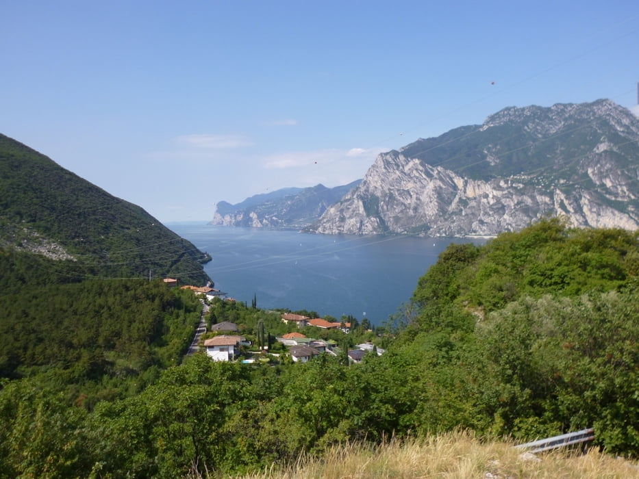

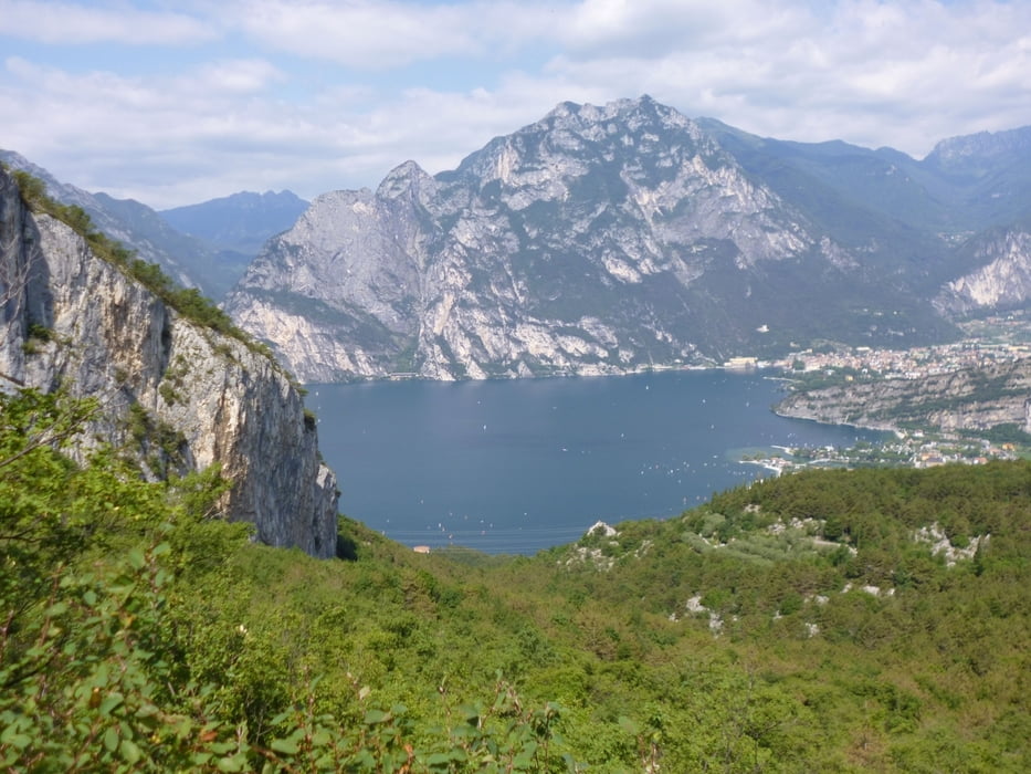
Wir starten in Torbole und fahren Bei der Pizzeria Al Porto bergauf Richtung Busatte. Weiter folgen wir der Straße in Richtung Altissimo. Auf Höhe der Malga Zures gibt es die erste Rast auf einem Aussichtsfelsen. Weiter folgen wir der Straße bis zur Malga Casina, zur zweiten Rast und Flaschenfüllen in der Sorgente Aqua d´ Oro. Kurz nach der Malga geht ein Weg links weg. Hier beginnt auch der Downhill Val di Diaro, wir fahren aber der Schotterstraße weiter bergauf-bergab. Bei einer Kreuzung geht es links bergab, an der Malga Rigotti vorbei auf dem Hauptweg bis zu einer Abzweigung nach Sano. Durch Sano durch geht es Richtung Loppio. Ab hier den Radweg zurück nach Nago und bergab nach Torbole.
Tour gallery

Tour map and elevation profile
Minimum height 60 m
Maximum height 1133 m
More about the tour author

|
bernd_brinck |
Comments

Torbole ist mit dem Pkw gut zu erreichen
GPS tracks
Trackpoints-
GPX / Garmin Map Source (gpx) download
-
TCX / Garmin Training Center® (tcx) download
-
CRS / Garmin Training Center® (crs) download
-
Google Earth (kml) download
-
G7ToWin (g7t) download
-
TTQV (trk) download
-
Overlay (ovl) download
-
Fugawi (txt) download
-
Kompass (DAV) Track (tk) download
-
Track data sheet (pdf) download
-
Original file of the author (gpx) download
More about the tour author
|
|
bernd_brinck |
Add to my favorites
Remove from my favorites
Edit tags
Open track
My score
Rate