

Aufstieg: 3Std. 50min mit Stau
Abstieg: 1Std. 50min
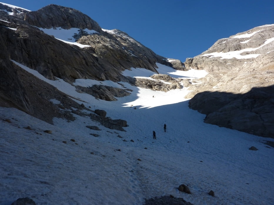
Von Korblift-Bergstation beim Rif. Pian dei Fiacconi auf Weg 606 in Westliche Richtung 150HM absteigend um einen Felssporn herum.
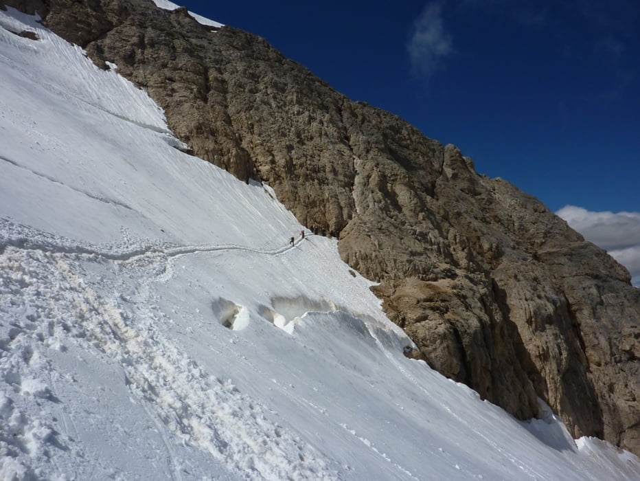
Anschließend zum Vernel Gletscher aufsteigen bis unter einer markanten Scharte.
Dann Klettersteig.
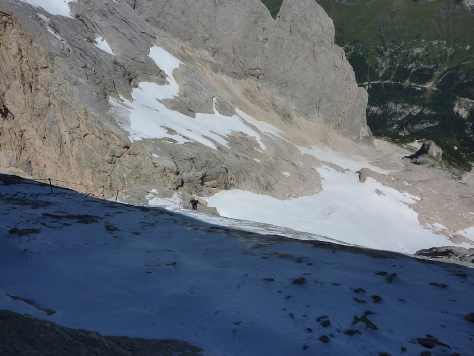
Abstieg über den Normalweg mit 70HM Kletersteig und Gletscher.
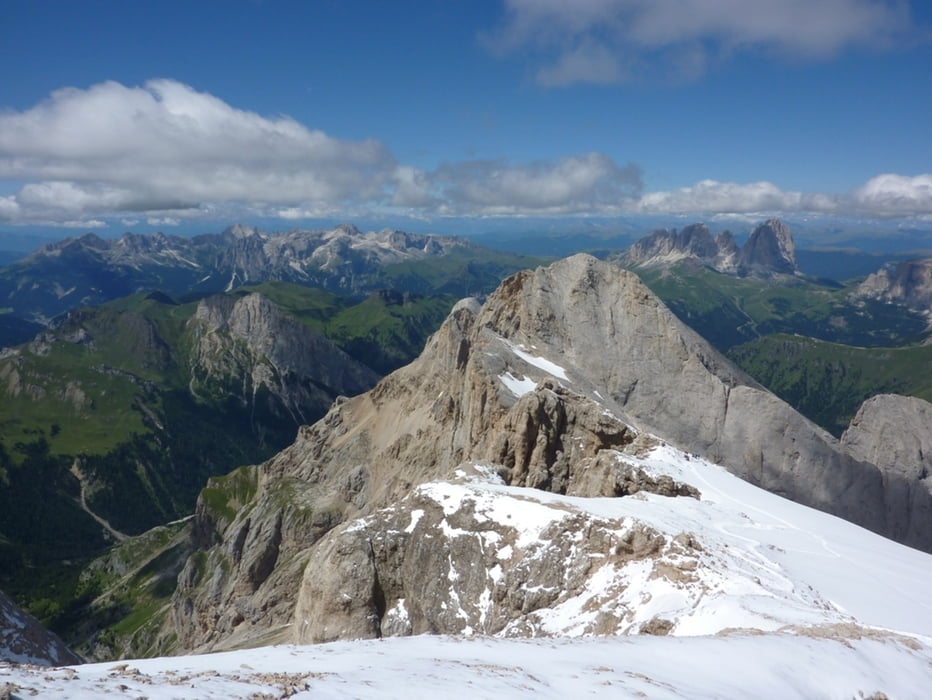
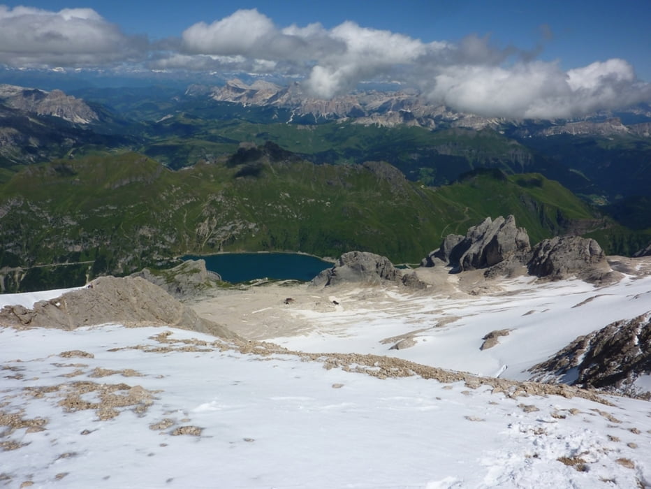
Tour gallery
Tour map and elevation profile
Minimum height 2410 m
Maximum height 3266 m
More about the tour author
|
|
harald07071 |
Comments

Über das Sellajoch oder Karerpass nach Canazei und dann weiter zum Lago di Fedaia.
Über westliche Staumauer zum Parkplatz.
GPS tracks
Trackpoints-
GPX / Garmin Map Source (gpx) download
-
TCX / Garmin Training Center® (tcx) download
-
CRS / Garmin Training Center® (crs) download
-
Google Earth (kml) download
-
G7ToWin (g7t) download
-
TTQV (trk) download
-
Overlay (ovl) download
-
Fugawi (txt) download
-
Kompass (DAV) Track (tk) download
-
Track data sheet (pdf) download
-
Original file of the author (gpx) download
More about the tour author
|
|
harald07071 |
Add to my favorites
Remove from my favorites
Edit tags
Open track
My score
Rate