

Aufstieg: 2Std. 50min.
Abstieg: 3Std. 25min.
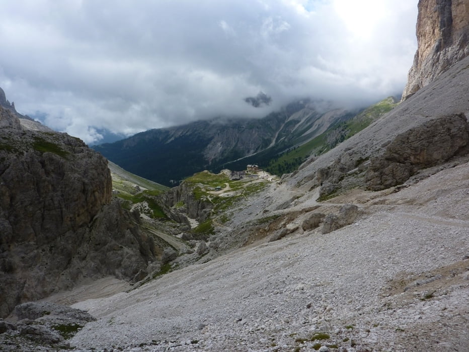
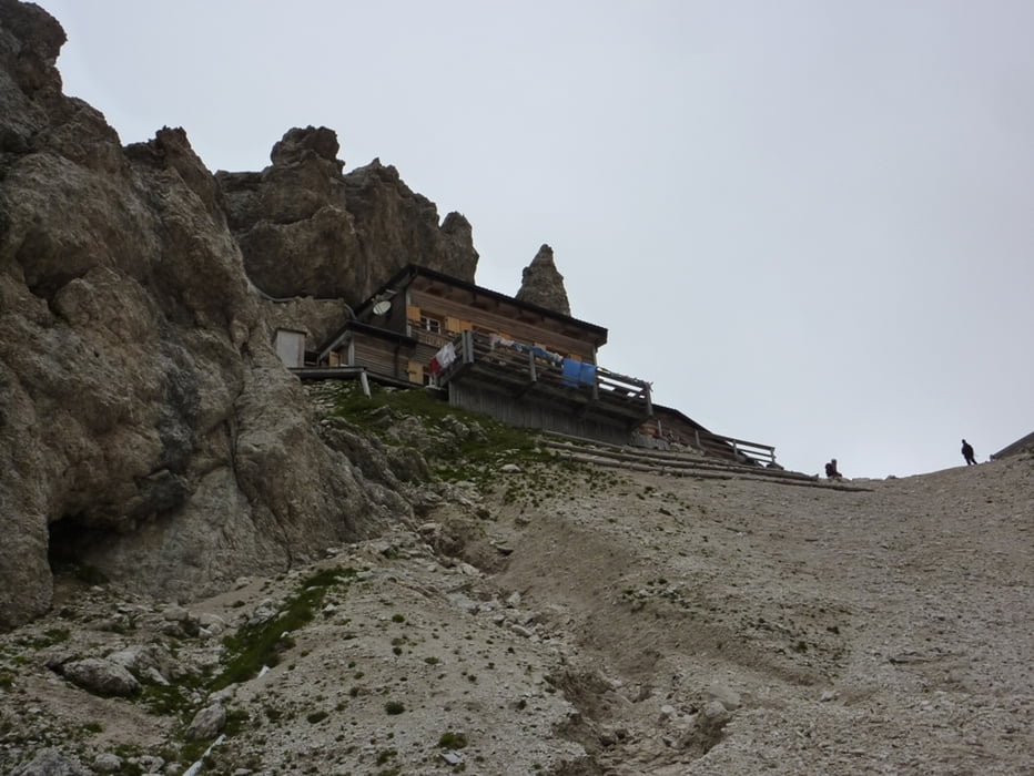
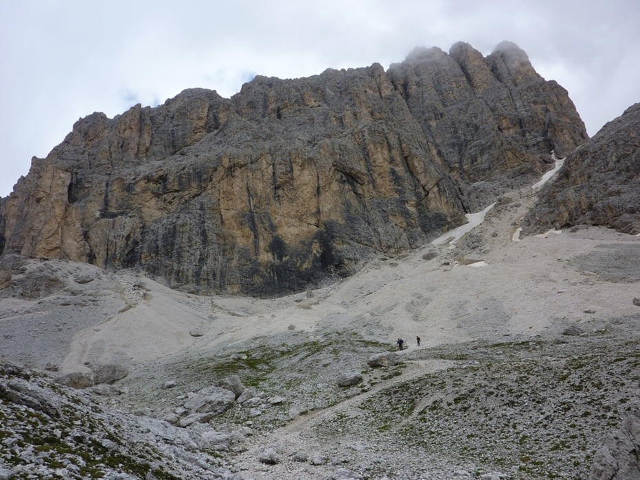
Zustieg von Rif. Gardeccia zum Rif. Vajolet dann weiter zur Grasleitenhütte auf den gleichnamigen Pass hinauf.
Der Klettersteigeinstieg von Westen liegt nur wenige Meter östlich von der Passhöhe.
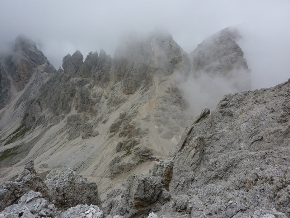
Abstieg über den Ostanstiegbis ins Antermoiapass von dort Richtung Grasleitenhütte und auf den selben Weg zurück
Tour gallery
Tour map and elevation profile
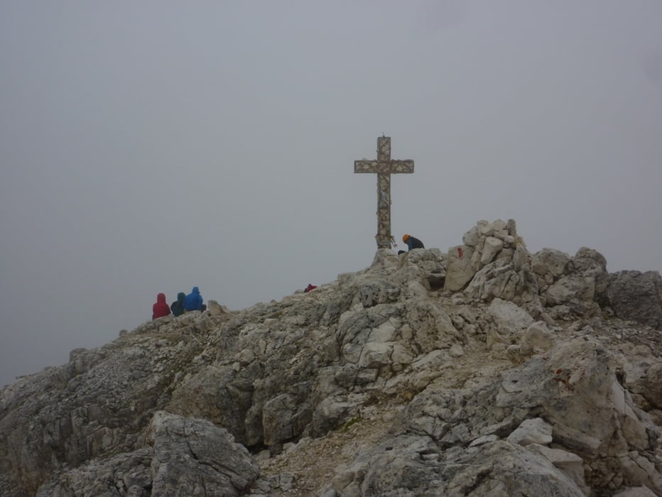
Minimum height 1921 m
Maximum height 2953 m
More about the tour author
|
|
harald07071 |
Comments

A22 Autobahnausfahrt Bozen Nord und auf der SS241 über den Karerpass nach Pera.
Von dort mit einem Shuttle Bus zum Rif. Gardeccia.
GPS tracks
Trackpoints-
GPX / Garmin Map Source (gpx) download
-
TCX / Garmin Training Center® (tcx) download
-
CRS / Garmin Training Center® (crs) download
-
Google Earth (kml) download
-
G7ToWin (g7t) download
-
TTQV (trk) download
-
Overlay (ovl) download
-
Fugawi (txt) download
-
Kompass (DAV) Track (tk) download
-
Track data sheet (pdf) download
-
Original file of the author (gpx) download
More about the tour author
|
|
harald07071 |
Add to my favorites
Remove from my favorites
Edit tags
Open track
My score
Rate