


- Rundkurs: Gegen den Uhrzeigersinn. Kann auch im Uhrzeigersinn gefahren werden(Man vermeidet die Auffahrt auf knackiger betonierter Strasse ca. 1 KM lang).
- Start/Ziel: Caldonazzo Zentrum.
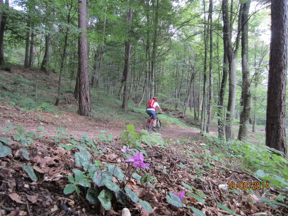
- Von 500 MH bis 764 MH 0 KM bis 5 KM Teerstrasse, Schotterweg angenehme Steigung. Durch Kastanienwälder bis zum Weiler "Campregheri", Gasthaus.
- Von 764 MH bis 690 MH 5 KM bis 7,06 KM auf Wiesen- bzw. Waldweg zum Dorf Vattaro.
- 1.023 MH 12,2 KM Ende der steilen, ca. 1 KM langen Betonrampe.
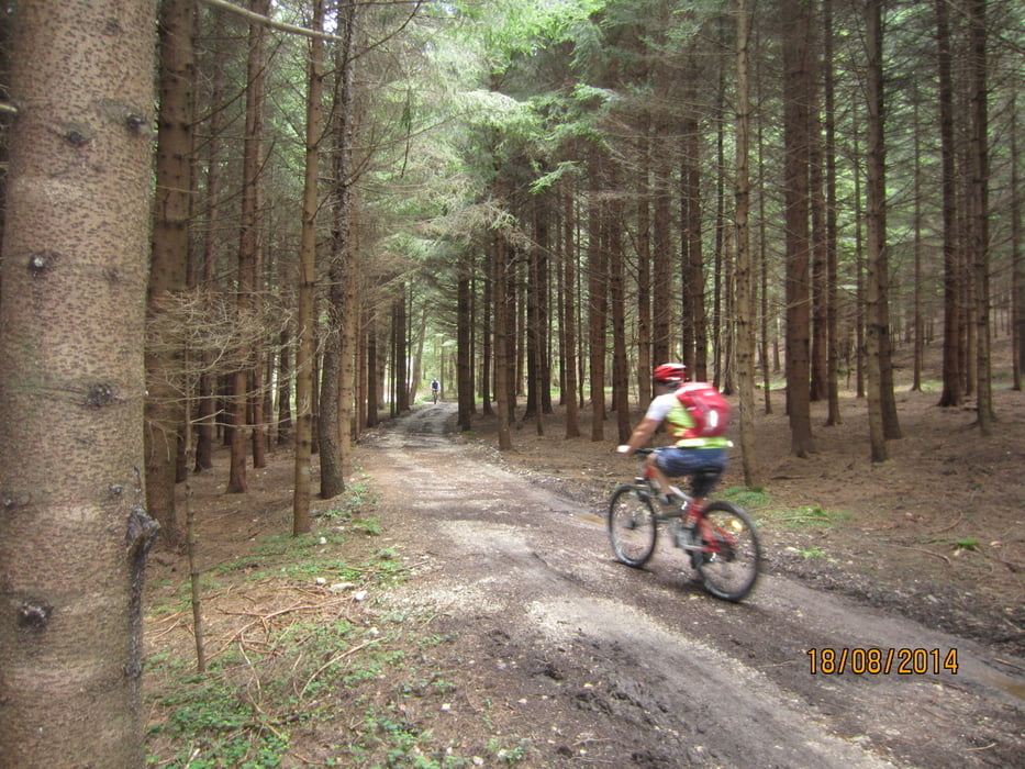
- Von 1.023 MH bis 1.031 MH 12,2 KM bis 15 KM gemütlicher Forstweg bis Malga "Doss del Bue" (bewirschaftet).
- Von 1.031 MH bis 1.063 MH 15 KM bis 18 KM Forstweg Rifugio "Paludei" (bewirtschaftet).
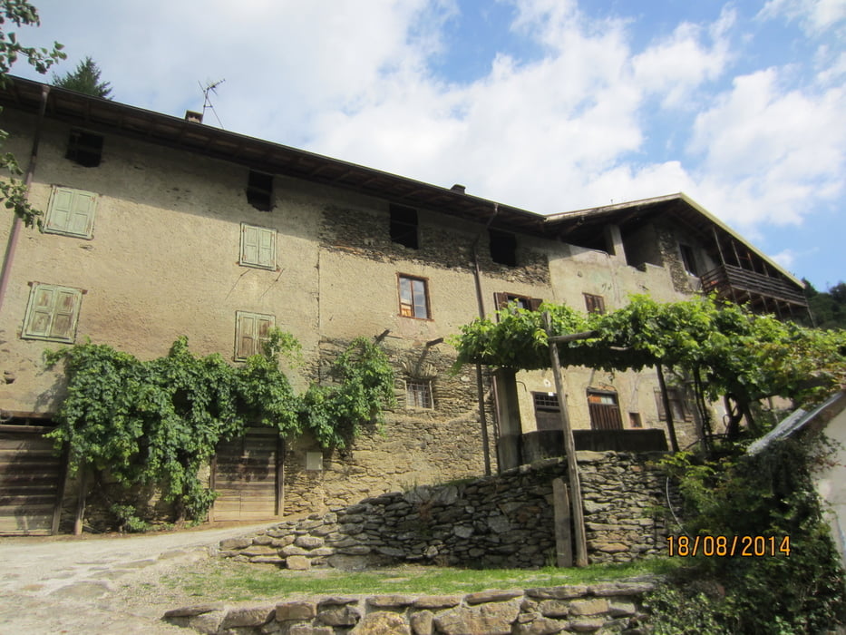
- Von 1.063 MH bis 830 MH 18 KM bis 21,9 KM Abfahrt zum Weiler "Centa San Nicolo`" Direkt an der Hauptstrasse gibt's im Restaurant/Pizzeria leckere Spaghetti mit Pilzen.
- Restliche Abfahrt nach Caldonazzo auf Teerstrasse und Waldweg am Bachbett entlang.
Tour gallery

Tour map and elevation profile
Minimum height 479 m
Maximum height 1110 m
More about the tour author
|
|
MargesinFriedrich |
Comments

GPS tracks
Trackpoints-
GPX / Garmin Map Source (gpx) download
-
TCX / Garmin Training Center® (tcx) download
-
CRS / Garmin Training Center® (crs) download
-
Google Earth (kml) download
-
G7ToWin (g7t) download
-
TTQV (trk) download
-
Overlay (ovl) download
-
Fugawi (txt) download
-
Kompass (DAV) Track (tk) download
-
Track data sheet (pdf) download
-
Original file of the author (gpx) download
More about the tour author
|
|
MargesinFriedrich |
Add to my favorites
Remove from my favorites
Edit tags
Open track
My score
Rate