Login

Forgotten password?

Cookies have to be accepted!
Your browser's cookie functionality is disabled. Please enable this functionality.

Not a member yet?

Register now
Login

Available for registred users only

Log in to use this feature.

Forgotten password?

Cookies have to be accepted!
Your browser's cookie functionality is disabled. Please enable this functionality.

Not a member yet?

Register now
Filter
Categories
Advanced filters
  • Distance (km)
  • Height
Save filters Reset filter

TrackRank

QRCode

Technical data

Distance29,2 km Height946 m Way down949 m Duration03:30 h:m Date20.08.2014
Scores Author Landscape Fun factor Fitness Technique

Statistics

499 Views Scores 103 Downloads Average
Rate
  • Track data sheet
  • Directions
  • Downloads

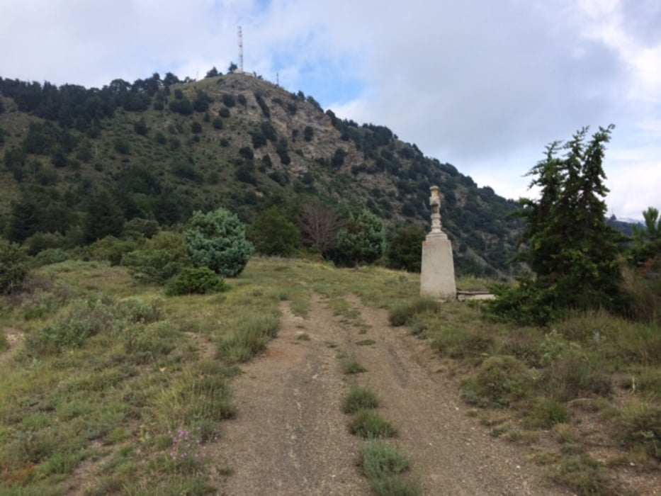
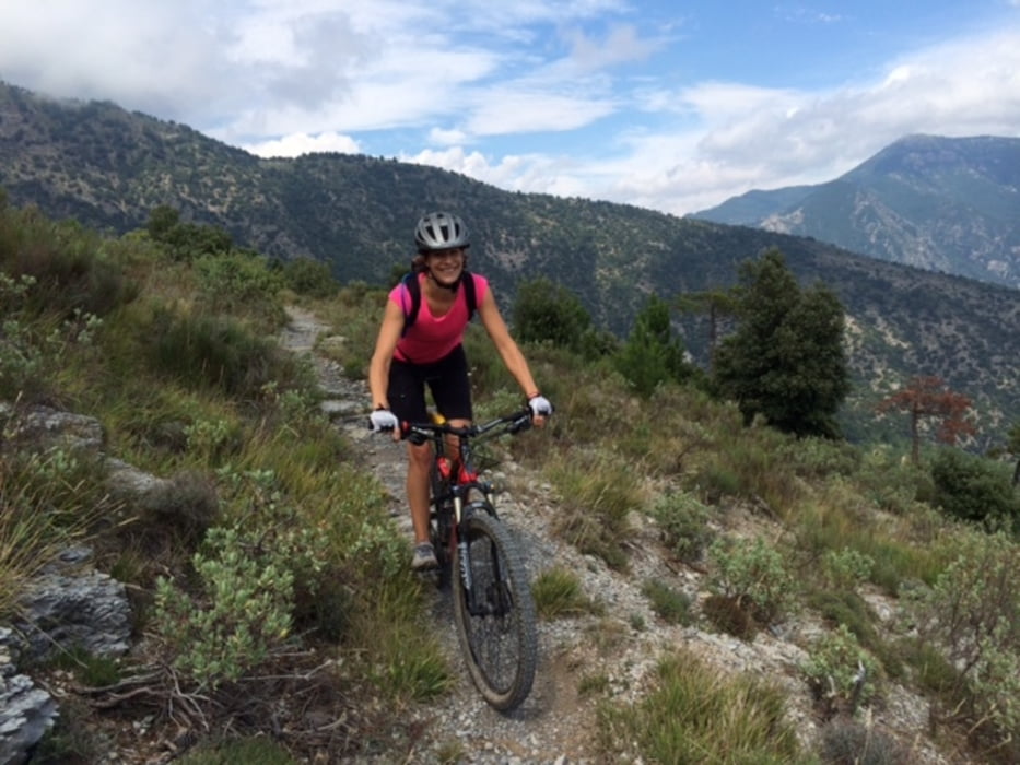
Tolle Rundtour von Sospel in den Nationalpark. Man fährt gemütlich fast alle Höhenmeter auf Teersträsschen mit wenig Steigung. Nach einiger Zeit wird die Strasse brüchiger und die Landschaft einsamer. Herunter geht es zuerst auf einem Steilen Trail durch den Wald, dann auf nicht enden wollenden Singletrails durch Buschland und Wald wieder zurück nach Sospel. Anforderungen an die Kondition sind eher gering. Die Trails sind bis auf einige Schiebestücke flüssig befahrbar.


Tour gallery

Tour map and elevation profile

  • Open Street Map
  • Google
Minimum height 325 m Maximum height 1116 m Detailed view

More about the tour author

matzze1949
Member since 2009

Send private message

Comments

gerlemp on 02.11.2016

Absolut empfehlenswert

Bin die Tour im Sept. 2016 gefahren und kann Beschreibung nur bestätigen und volle Punktzahl geben. Tolle Landschaft im Naturpark, abwechslungsreiche Trails bei der Abfahrt mit Schwierigkeit S1 und S2. Sospel ist ein kleines sympathisches Städtchen, wo man nach der Tour sich z.B. mit einer Pizza im Restaurant am Gebirgsbach wieder stärken kann.
Der MTB-Club (VTT FC) in Sospel hat sogar einen Bike-Park und hat mehrere weitere Touren ausgeschildert (zu finden auf deren Internet-Seite: www.espace-vtt-sospel.com).

GPS tracks

Trackpoints
  • GPX / Garmin Map Source (gpx) download
  • TCX / Garmin Training Center® (tcx) download
  • CRS / Garmin Training Center® (crs) download
  • Google Earth (kml) download
  • G7ToWin (g7t) download
  • TTQV (trk) download
  • Overlay (ovl) download
  • Fugawi (txt) download
  • Kompass (DAV) Track (tk) download
  • Track data sheet (pdf) download
  • Original file of the author (gpx) download

More about the tour author

matzze1949
Member since 2009

Send private message
Share track
Add to my favorites
Remove from my favorites
Edit tags
My score
Rate
Track: Rundtour über Sospel
Type: Mountain bike
Distance: 29,2 km
Evaluated on:
Duration:
Day(s)
Hour(s)
Minute(s)
Score: Landscape Fun factor Fitness Technique