


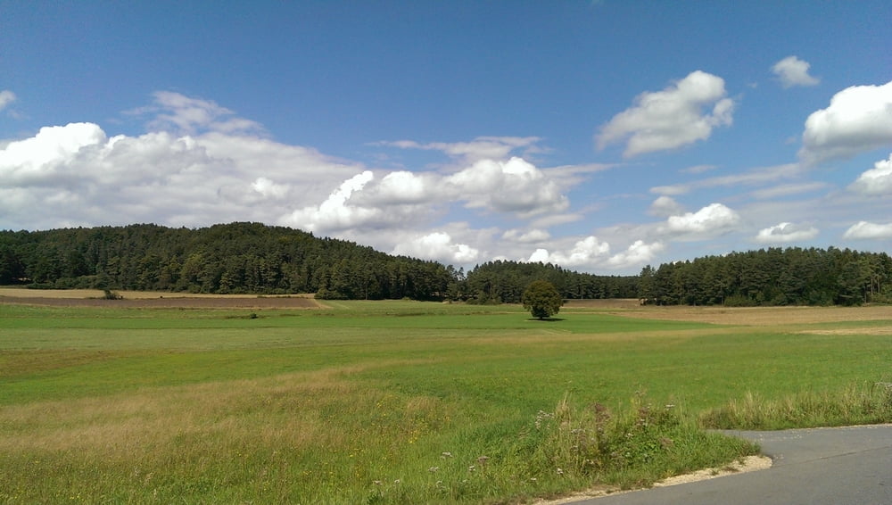
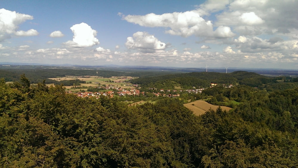
Eine Nachmittagsrunde durch die Hersbrucker Schweiz, Start und Ziel ist Kleefeld bei Hersbruck. Über den Berg hinter dem Ort geht es zunächst ins Pegnitztal, dem Pegnitztalradweg folgend bis Artelshofen. Dann ist Königstein das östliche Ziel, kurz vorher kann man den Ossinger (661 m hoch, mit Aussichtsturm) besteigen.
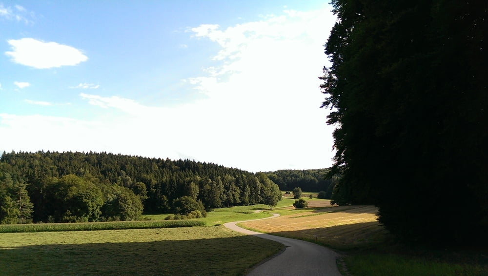
Die Rückfahrt führt über Neuhaus und Rupprechtstegen wieder ins Sittenbachtal zurück.
Die Strecke geht teilweise über unasphaltierte, aber relativ gut befahrbare Wege. Etliche Steigungen sind auch dabei ...
Further information at
http://bay-rad.de/bfr/XSLT_TRIP_REQUEST2?language=deTour gallery

Tour map and elevation profile
Minimum height 356 m
Maximum height 647 m
More about the tour author
|
|
cmueli |
Comments

Hersbruck hat einen Bahnhof mit guten Verbindungen nach Nürnberg, Neuhaus und Bayreuth.
GPS tracks
Trackpoints-
GPX / Garmin Map Source (gpx) download
-
TCX / Garmin Training Center® (tcx) download
-
CRS / Garmin Training Center® (crs) download
-
Google Earth (kml) download
-
G7ToWin (g7t) download
-
TTQV (trk) download
-
Overlay (ovl) download
-
Fugawi (txt) download
-
Kompass (DAV) Track (tk) download
-
Track data sheet (pdf) download
-
Original file of the author (gpx) download
More about the tour author
|
|
cmueli |
Add to my favorites
Remove from my favorites
Edit tags
Open track
My score
Rate