


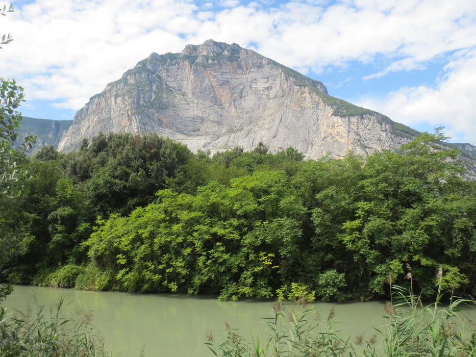
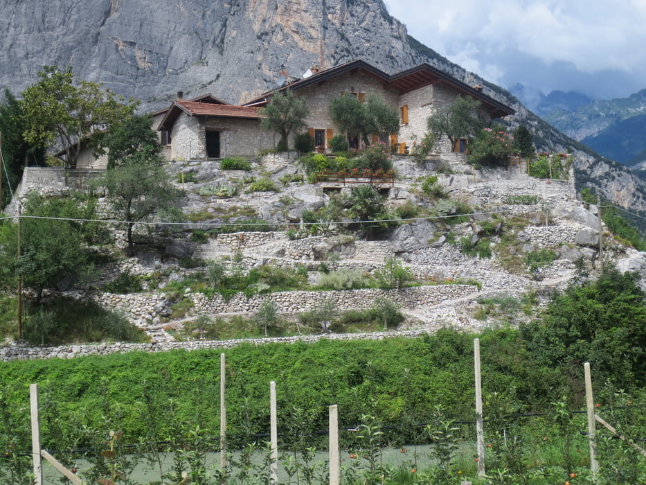
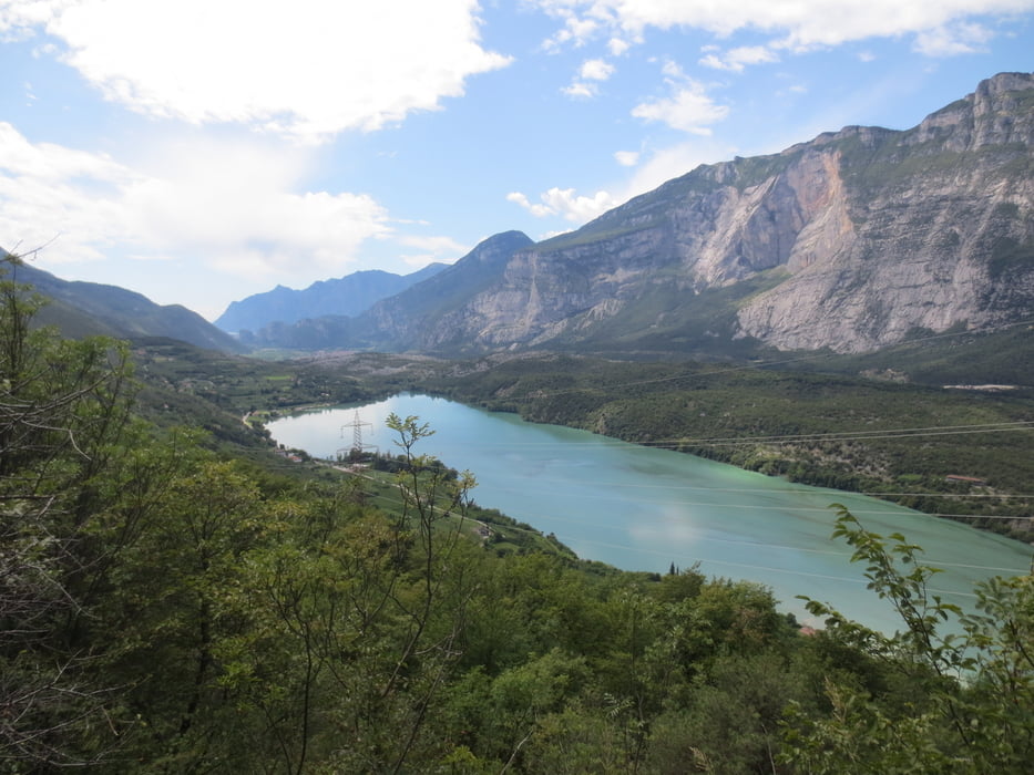
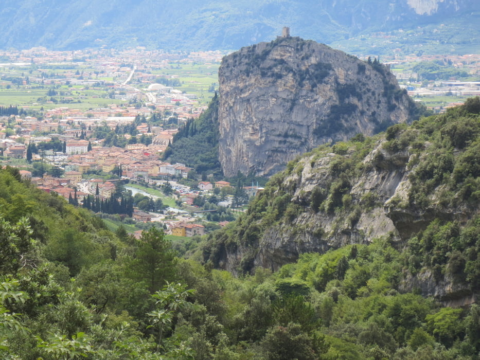
Kurzcharakteristik:schöne, aber nicht zu anspruchsvolle Tour ins Hinterland des Gardasee.
Vom Camping Arco aus fahren wir Richtung Ceniga, weiter an der Römerbrücke vorbei, überqueren die Sarca, fahren durch Dro und hinter Dro auf den Radweg. Nun geht es über den Radweg bis Sarche und weiter am Toblinosee vorbei, durch San Massenza und um den See. Nun fahren wir bergauf und ab weiter über einen Bergrücken bis wir den Zufluss des Lago de Cavedine erreichen. Wir fahren mal rechts mal links vorbei bis zum See. Hier geht es nun links ab und über den Bergrücken bis Cavedine. Nach der Überquerung der Straße fahren wir über Breila zurück nach Arco.
Tour gallery
Tour map and elevation profile
Minimum height 80 m
Maximum height 586 m
More about the tour author
|
|
baumgarten |
Comments

GPS tracks
Trackpoints-
GPX / Garmin Map Source (gpx) download
-
TCX / Garmin Training Center® (tcx) download
-
CRS / Garmin Training Center® (crs) download
-
Google Earth (kml) download
-
G7ToWin (g7t) download
-
TTQV (trk) download
-
Overlay (ovl) download
-
Fugawi (txt) download
-
Kompass (DAV) Track (tk) download
-
Track data sheet (pdf) download
-
Original file of the author (gpx) download
More about the tour author
|
|
baumgarten |
Add to my favorites
Remove from my favorites
Edit tags
Open track
My score
Rate