
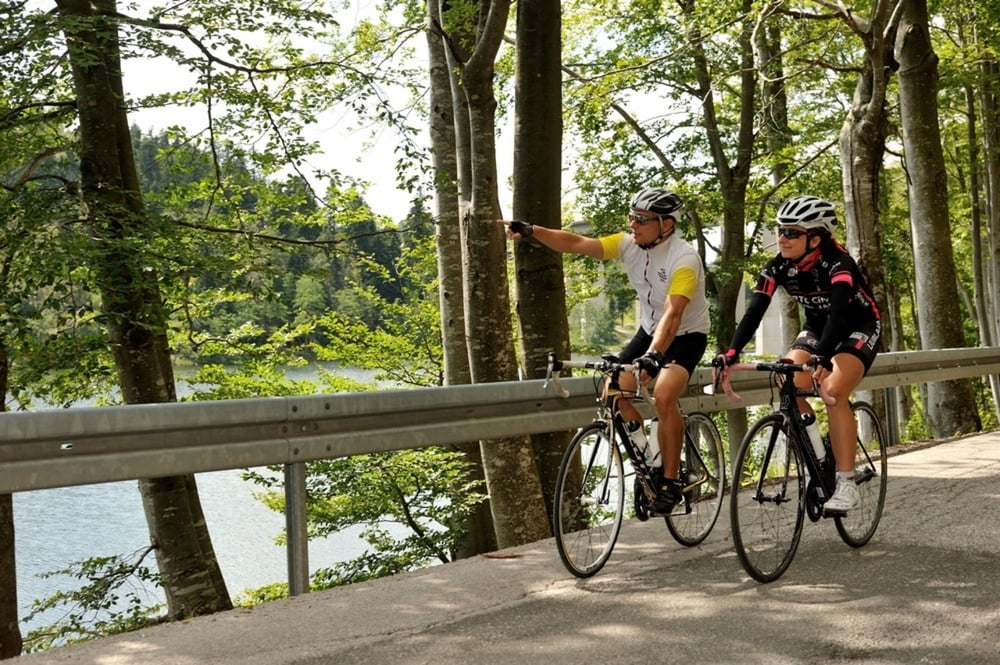

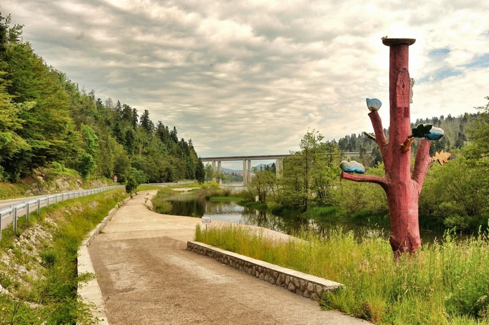
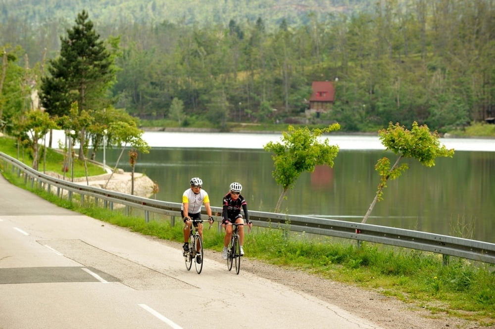
Ruta koja će proći kroz najveća mjesta centralnog Gorskog kotara pa tako nakon starta u Fužinama nakon nekog vremena dolazimo do Delnica, najvećeg mjesta ovog kraja. Nakon Delnica slijedi spust u dolinu rijeke Kupe skroz do pograničnog mjesta Brod na Kupi. Ovdje predlažemo kratki predah jer od Broda na Kupi kreće oštri uspon prema Skradu prolazeći kroz teško dostupna mala mjesta povrh Kupske doline. Od Skrada cesta vodi do Ravne Gore gdje se priključujemo na staru Karolinsku cestu koja nas sa dva strma uspona i spusta vodi do Mrkoplja i dalje prema Fužinama.
The route goes through the biggest towns in central Gorski kotar. After the start in Fužine, after a while it reaches Delnice, the biggest town in this area. After Delnice, it descends to the valley of river Kupa and goes as far as the border village Brod na Kupi. We suggest a short break as the route steeply ascends from Brod na Kupi to Skrad, passing through hard-to-reach villages over the Kupa valley. After Skrad, the route leads to Ravna Gora where it joins the old Karolina road which, in two steep ascents and descents, leads to Mrkoplje and back to Fužine.
http://www.bitoraj.hr
http://www.adriabike.hr
Tour gallery
Tour map and elevation profile
Minimum height 223 m
Maximum height 1024 m
More about the tour author
|
|
AdriaBikeHotels |
Comments

GPS tracks
Trackpoints-
GPX / Garmin Map Source (gpx) download
-
TCX / Garmin Training Center® (tcx) download
-
CRS / Garmin Training Center® (crs) download
-
Google Earth (kml) download
-
G7ToWin (g7t) download
-
TTQV (trk) download
-
Overlay (ovl) download
-
Fugawi (txt) download
-
Kompass (DAV) Track (tk) download
-
Track data sheet (pdf) download
-
Original file of the author (gpx) download
More about the tour author
|
|
AdriaBikeHotels |
Add to my favorites
Remove from my favorites
Edit tags
Open track
My score
Rate