


Start war für mich in Metzingen.
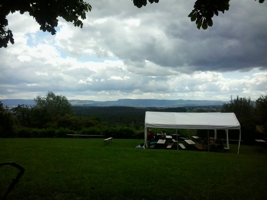
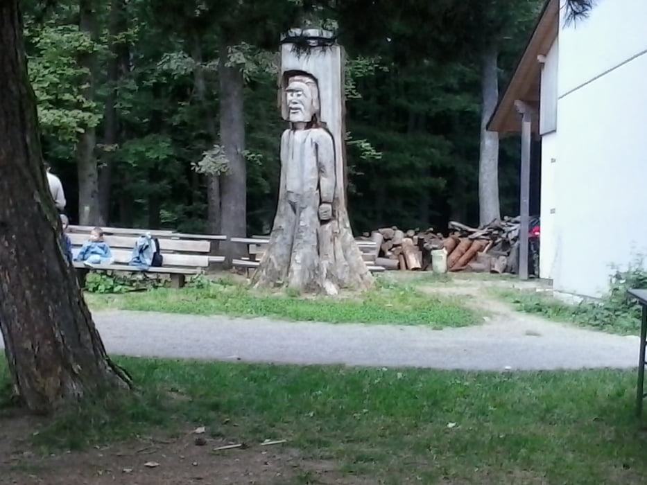
Die Touraufzeichnung startet in Walddorf-Häslach in der Turmstrasse beim Kleintierzüchterheim.Durchs Schaichtal fahren wir nach Häfner-Neuenhaus und dort auf den Uhlbergturm.Grillmöglichkeit und Möglichkeit zum Kauf von Grillgut (Würste 3erlei Sorten).Getränke ebenfalls.Moderate Preise.Turm kann gegen Gebühr bestiegen werden.Dann zurück über Aich,N'tailfingen,N'tenzlingen,Bempflingen und Riederich nach Metzingen.
Einkehr bei Traikov bei der Berufsschule.
Ende der Tour
Tour gallery


Tour map and elevation profile
Minimum height 281 m
Maximum height 475 m
More about the tour author
|
|
Cokedealer |
Comments

GPS tracks
Trackpoints-
GPX / Garmin Map Source (gpx) download
-
TCX / Garmin Training Center® (tcx) download
-
CRS / Garmin Training Center® (crs) download
-
Google Earth (kml) download
-
G7ToWin (g7t) download
-
TTQV (trk) download
-
Overlay (ovl) download
-
Fugawi (txt) download
-
Kompass (DAV) Track (tk) download
-
Track data sheet (pdf) download
-
Original file of the author (gpx) download
More about the tour author
|
|
Cokedealer |
Add to my favorites
Remove from my favorites
Edit tags
Open track
My score
Rate