Login

Forgotten password?

Cookies have to be accepted!
Your browser's cookie functionality is disabled. Please enable this functionality.

Not a member yet?

Register now
Login

Available for registred users only

Log in to use this feature.

Forgotten password?

Cookies have to be accepted!
Your browser's cookie functionality is disabled. Please enable this functionality.

Not a member yet?

Register now
Filter
Categories
Advanced filters
  • Distance (km)
  • Height
Save filters Reset filter

TrackRank

QRCode

Technical data

Distance21,5 km Height766 m Way down763 m Duration02:30 h:m Date29.08.2014
Scores Author Landscape Fun factor Fitness Technique

Statistics

253 Views Scores 26 Downloads Average
Rate
  • Track data sheet
  • Directions
  • Downloads

Start der Tour ist beim Friedhof in Gaaden.

Über Forststraßen und Wanderwege geht es auf die Prokschhütte,

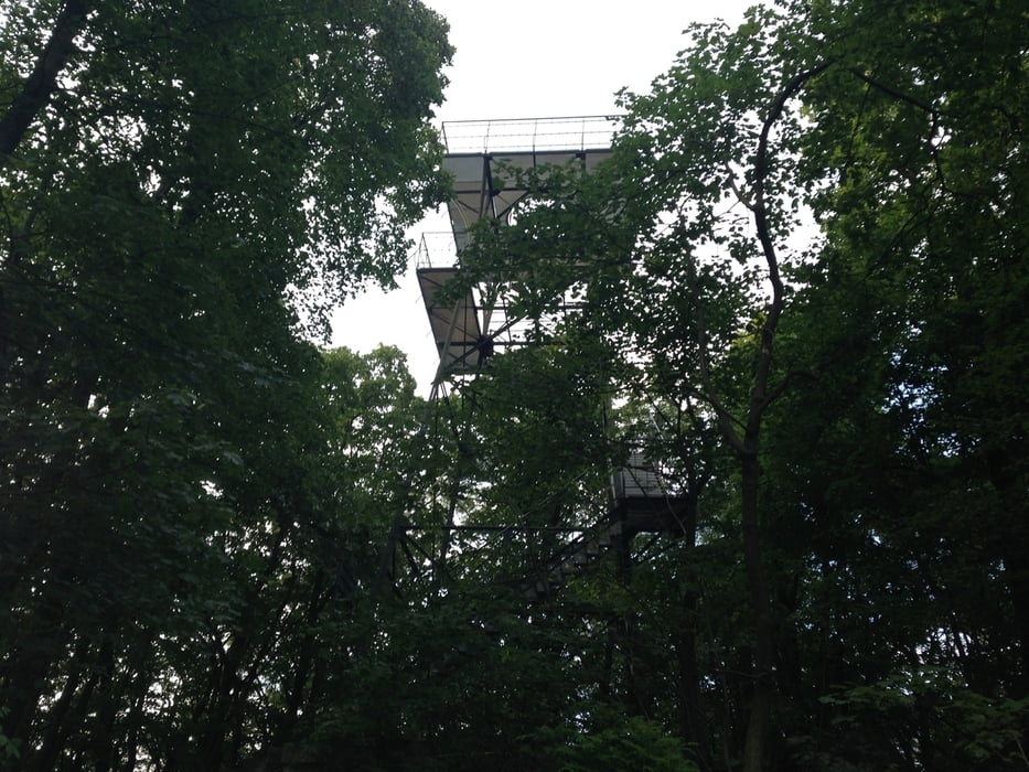
Veiglhütte, Krauste Linde und zum Anninger Schutzhaus.


Further information at

http://www.veigl-huette.at/

Tour gallery

Tour map and elevation profile

  • Open Street Map
  • Google
Minimum height 255 m Maximum height 655 m Detailed view

More about the tour author

kersti
Member since 2012

Send private message

Comments

Parkmöglichkeit beim Friedhof in Gaaden

GPS tracks

Trackpoints
  • GPX / Garmin Map Source (gpx) download
  • TCX / Garmin Training Center® (tcx) download
  • CRS / Garmin Training Center® (crs) download
  • Google Earth (kml) download
  • G7ToWin (g7t) download
  • TTQV (trk) download
  • Overlay (ovl) download
  • Fugawi (txt) download
  • Kompass (DAV) Track (tk) download
  • Track data sheet (pdf) download
  • Original file of the author (gpx) download

More about the tour author

kersti
Member since 2012

Send private message
Share track
Add to my favorites
Remove from my favorites
Edit tags
My score
Rate
Track: Anninger Hüttentour
Type: Mountain bike
Distance: 21,5 km
Evaluated on:
Duration:
Day(s)
Hour(s)
Minute(s)
Score: Landscape Fun factor Fitness Technique