Login

Forgotten password?

Cookies have to be accepted!
Your browser's cookie functionality is disabled. Please enable this functionality.

Not a member yet?

Register now
Login

Available for registred users only

Log in to use this feature.

Forgotten password?

Cookies have to be accepted!
Your browser's cookie functionality is disabled. Please enable this functionality.

Not a member yet?

Register now
Filter
Categories
Advanced filters
  • Distance (km)
  • Height
Save filters Reset filter

TrackRank

QRCode

Technical data

Distance8,7 km Height801 m Way down708 m Duration05:49 h:m Date30.08.2014
Scores Author Landscape Fun factor Fitness Technique

Statistics

592 Views Scores 24 Downloads Average
Rate
  • Track data sheet
  • Directions
  • Downloads
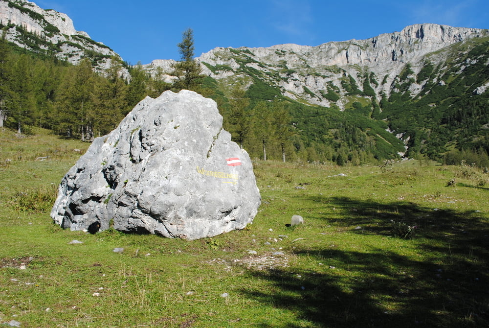
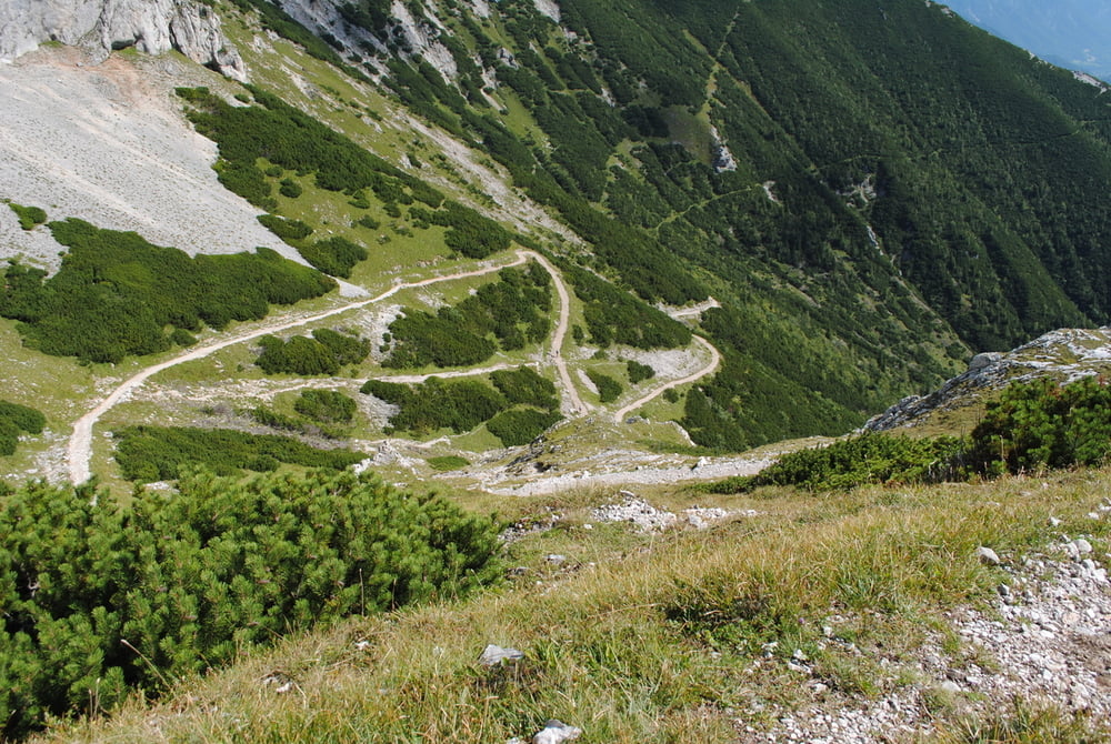
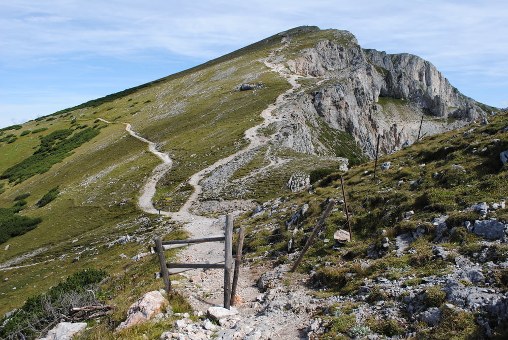
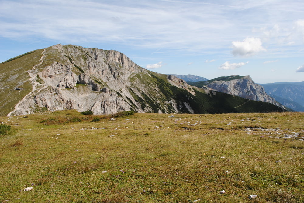
Parkplatz Preiner Gscheid.Auf roter Markierung bergan bis zur Kreuzung zum Waxriegelhaus.Wir bleiben auf rot,überschreiten den Siebenbrunnenkessel und wandern den Schlangenweg in vielen Schleifen bis zum Karl Ludwighaus.Rückweg gleich.Sollte es die Zeit erlauben Aufstieg zur Heukuppe oder Rast im Waxriegelhaus.
 

Further information at

http://www.oetk.at/h%C3%BCtten/alphabetisch-sortiert/karl-ludwig-haus/

Tour gallery

Tour map and elevation profile

  • Open Street Map
  • Google
Minimum height 1002 m Maximum height 1805 m Detailed view

More about the tour author

LeoCheops
Member since 2008

Send private message

Comments

GPS tracks

Trackpoints
  • GPX / Garmin Map Source (gpx) download
  • TCX / Garmin Training Center® (tcx) download
  • CRS / Garmin Training Center® (crs) download
  • Google Earth (kml) download
  • G7ToWin (g7t) download
  • TTQV (trk) download
  • Overlay (ovl) download
  • Fugawi (txt) download
  • Kompass (DAV) Track (tk) download
  • Track data sheet (pdf) download
  • Original file of the author (gpx) download

More about the tour author

LeoCheops
Member since 2008

Send private message
Share track
Add to my favorites
Remove from my favorites
Edit tags
My score
Rate
Track: Vom Preiner Gscheid zum Karl Ludwigs Haus (29.08.2014)
Type: Mountain hiking
Distance: 8,7 km
Evaluated on:
Duration:
Day(s)
Hour(s)
Minute(s)
Score: Landscape Fun factor Fitness Technique