


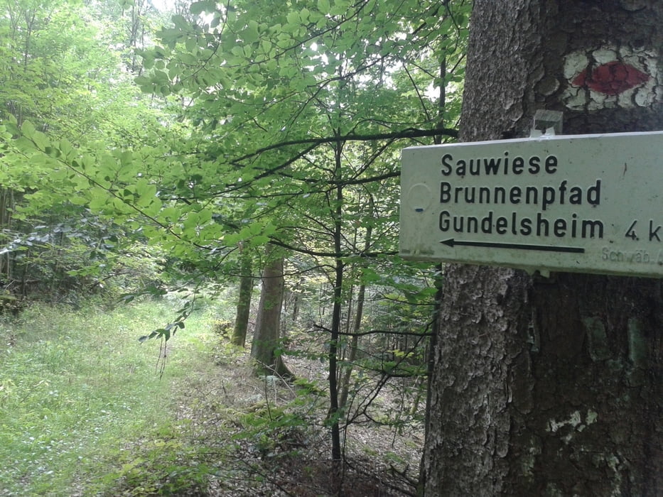
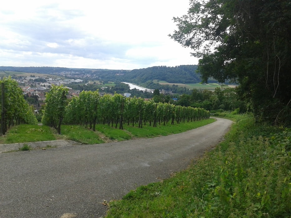
Rundtour durchs Bauland an den Neckar. Geringer Singletrail-Anteil, größtenteils Flurwege und Schotter. Wenn man sich den Brunnenpfad spart, bei trockenem Wetter auch mit dem Trekkingrad zu fahren. Landschaftlich jetzt nicht mega-reizvoll, aber ein paar schöne Ecken hat die Tour schon.
Further information at
https://www.komoot.de/tour/3539961Tour gallery
Tour map and elevation profile
Minimum height 225 m
Maximum height 394 m
More about the tour author
|
|
berwag74 |
Comments

Start ist in Osterburken, A81 Ausfahrt Osterburken, Regionalbahnlinie Würzburg-Stuttgart.
GPS tracks
Trackpoints-
GPX / Garmin Map Source (gpx) download
-
TCX / Garmin Training Center® (tcx) download
-
CRS / Garmin Training Center® (crs) download
-
Google Earth (kml) download
-
G7ToWin (g7t) download
-
TTQV (trk) download
-
Overlay (ovl) download
-
Fugawi (txt) download
-
Kompass (DAV) Track (tk) download
-
Track data sheet (pdf) download
-
Original file of the author (gpx) download
More about the tour author
|
|
berwag74 |
Add to my favorites
Remove from my favorites
Edit tags
Open track
My score
Rate