


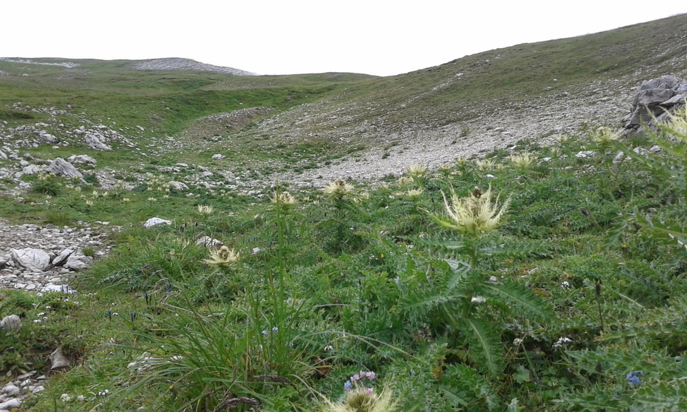
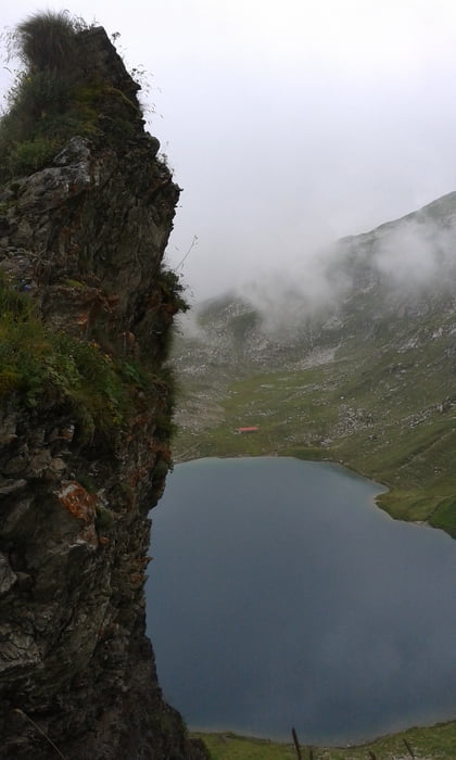
Je nachdem, wo man einen Parkplatz gefunden hat, gehts bis zum Giebelhaus auf Teer und mit gemäßigter Steigung dahin. Das schöne ist, dass hier nur Pendelbusse und keine Autosfahren dürfen. Bis zur Schwarzenberghütte, ein guter Ort für Mittagsessen gehts steiler, aber immer noch auf Teer dahin. Man kann dort das Radl lassen oder noch bis zur Käseralpe fahren. Ab dann beginnt die Wanderung auf einem klassischen Wanderweg bis zum Engeratsgrundsee (ca 1h). Dann kann man entweder links rum (wie ich ) oder rechts herum gehen. Von der Länge und auch von der Schwierigkeit nimmts sichs nicht viel, trittsicher sollte man aber sein. Rauf dauerts wieder ca. 1h und runter etwas kürzer.
Tour gallery
Tour map and elevation profile
Minimum height 846 m
Maximum height 2327 m
More about the tour author
|
|
Seebi |
Comments

Von München über A96 und A7 oder B12 bis Kempten. Von dort weiter auf der B 19 nach Sonthofen und dann auf der B 308 bis Hinterstein. Parkplätze sollte es in Bad Hindelang und Hinterstein genug geben, kostet allerdings etwas.
GPS tracks
Trackpoints-
GPX / Garmin Map Source (gpx) download
-
TCX / Garmin Training Center® (tcx) download
-
CRS / Garmin Training Center® (crs) download
-
Google Earth (kml) download
-
G7ToWin (g7t) download
-
TTQV (trk) download
-
Overlay (ovl) download
-
Fugawi (txt) download
-
Kompass (DAV) Track (tk) download
-
Track data sheet (pdf) download
-
Original file of the author (gpx) download
More about the tour author
|
|
Seebi |
Add to my favorites
Remove from my favorites
Edit tags
Open track
My score
Rate