


Markha Valley Trek, Tag 4
Sandig führt der Weg nach Nakdi (Stupas und ein paar Häuser) und weiter nach Sara (3590 m, Homestays und Tea-Tents) ganz allmählich bergauf. Hinter Sara wechselt der Weg über eine Brücke die Flussseite.
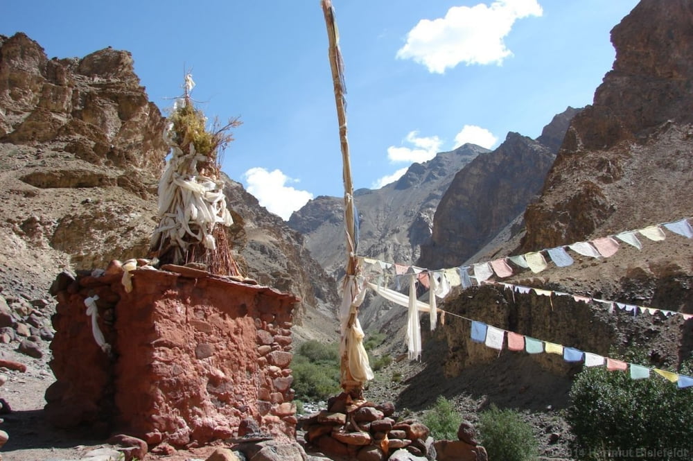
Bei Lato (Stupas, rote Heiligtümer) gibt es einen kleinen Rastplatz im Schatten der Bäume (3660 m). Vier Kilometer weiter gibt es keine Brücke für die Flussquerung auf die Südseite, man muss den knietiefen Fluss hier durchwaten. Bis Markha ist es dann nur noch eine halbe Stunde; hier gibt es vor dem steilen Anstieg zum Ort zwei Campingplätze und ein Tea-Tent. Höhe 3760 m.
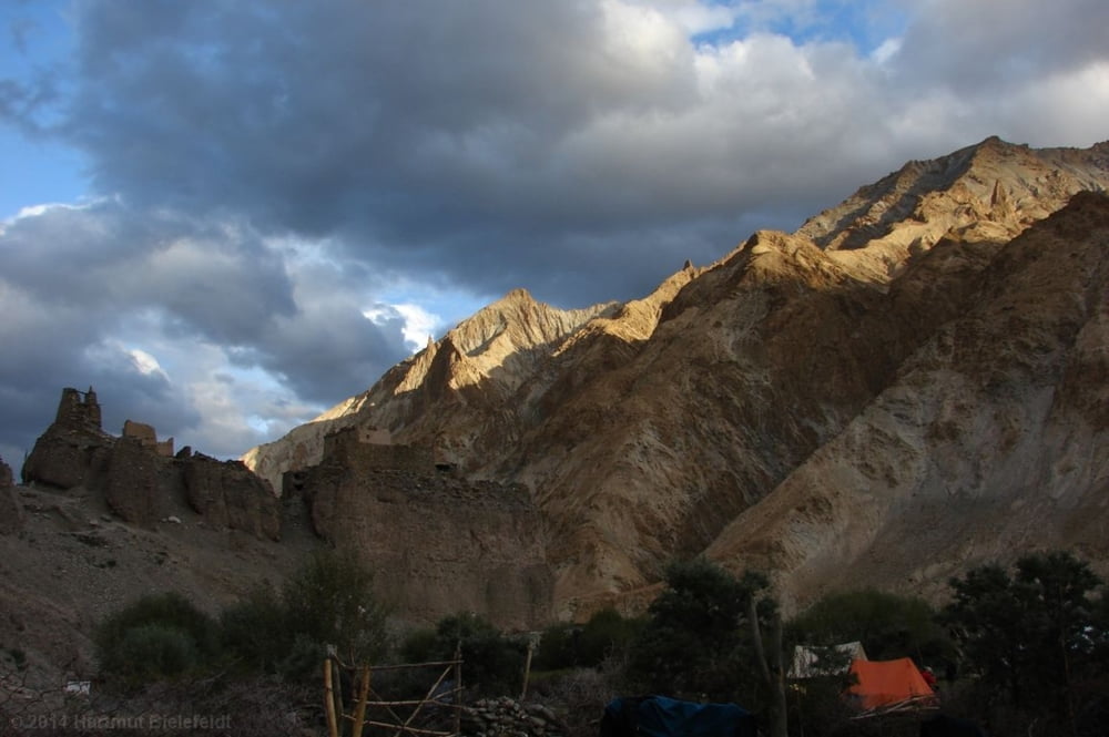
Das Kloster in Markha kann besichtigt werden (am Chörten an der Geländekuppe nach links hochgehen). Ein einsamer Mönch hält hier die Stellung, nach einem Jahr wird er abgelöst.
Further information at
http://www.bielefeldt.de/ladakh14d.htmTour gallery

Tour map and elevation profile
Minimum height 3523 m
Maximum height 3781 m
More about the tour author

|
hartmutb |
Comments

Diese Tour beschreibt die vierte Tagesetappe des Markha Valley Trek. Für die Anfahrt siehe erster Tag ( www.gps-tour.info/de/touren/detail.135390.html ) oder, falls man die Tour in umgekehrter Reihenfolge durchführen möchte, letzter Tag (www.gps-tour.info/de/touren/detail.135400.html)
GPS tracks
Trackpoints-
GPX / Garmin Map Source (gpx) download
-
TCX / Garmin Training Center® (tcx) download
-
CRS / Garmin Training Center® (crs) download
-
Google Earth (kml) download
-
G7ToWin (g7t) download
-
TTQV (trk) download
-
Overlay (ovl) download
-
Fugawi (txt) download
-
Kompass (DAV) Track (tk) download
-
Track data sheet (pdf) download
-
Original file of the author (gpx) download
More about the tour author
|
|
hartmutb |
Add to my favorites
Remove from my favorites
Edit tags
Open track
My score
Rate