


Die an sich einfachste MTB-Tour von Maspalomas / Playa del Ingles, deshalb hier nur ein paar Anmerkungen:
Leichte Anfahrt auf Aspalt, erst kurz vom Staudamm steil. Ein paar Raststätten dort.
Der Abstecher von Ayagaures nach Norden ist lohnenswert. Umkehr beim Schranken (der Weg hört bald nach dem Schranken am Talende auf).
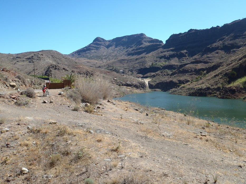
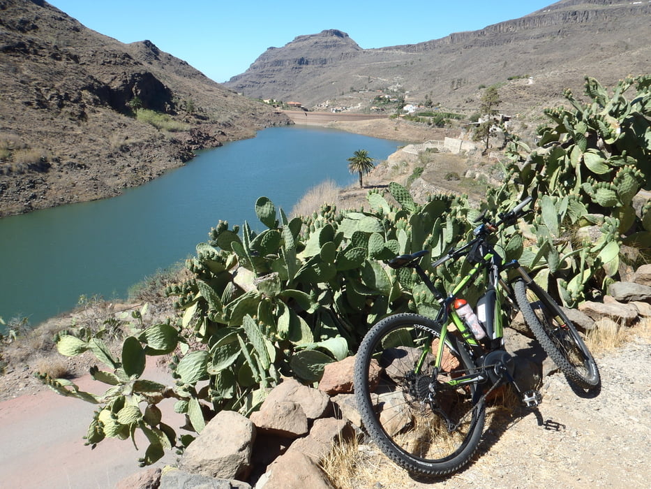
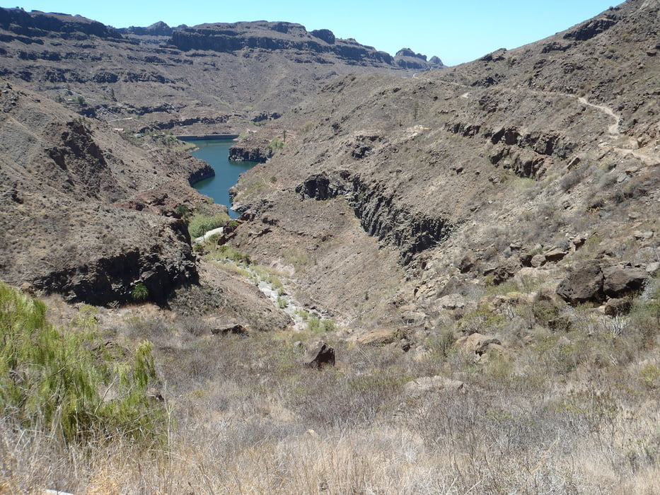
Die Fahrt über den Staudamm und rund um die Canyons ist der Höhepunkt der Tour. Man sollte ihn bis späten Mittag angehen, da die Tour doch sehr lang ist und es keinen Schatten gibt.
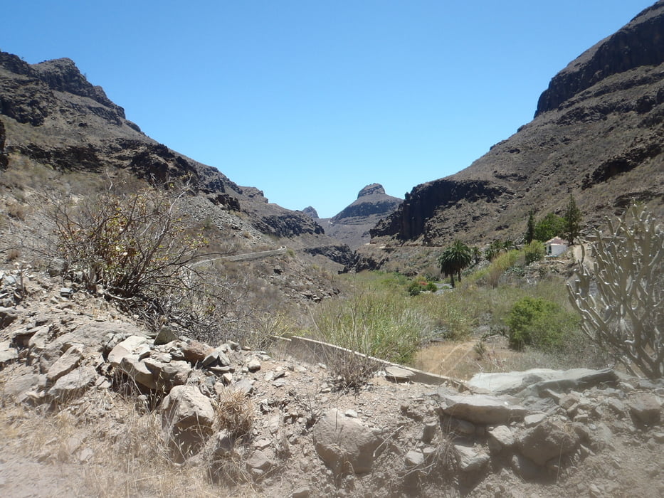
Die Fahrt nach Süden durch das Fataga-Tal nach Maspalomas zurück ist sehr steinig und holprig. Ein Fully sehr zu empfehlen.
Tour gallery
Tour map and elevation profile
Minimum height 5 m
Maximum height 588 m
More about the tour author
|
|
blackrat |
Comments

Die Tour startet man meist direkt beim Radfahrverleich in Maspalomas oder Playa del Ingles.
GPS tracks
Trackpoints-
GPX / Garmin Map Source (gpx) download
-
TCX / Garmin Training Center® (tcx) download
-
CRS / Garmin Training Center® (crs) download
-
Google Earth (kml) download
-
G7ToWin (g7t) download
-
TTQV (trk) download
-
Overlay (ovl) download
-
Fugawi (txt) download
-
Kompass (DAV) Track (tk) download
-
Track data sheet (pdf) download
-
Original file of the author (gpx) download
More about the tour author
|
|
blackrat |
Add to my favorites
Remove from my favorites
Edit tags
Open track
My score
Rate