


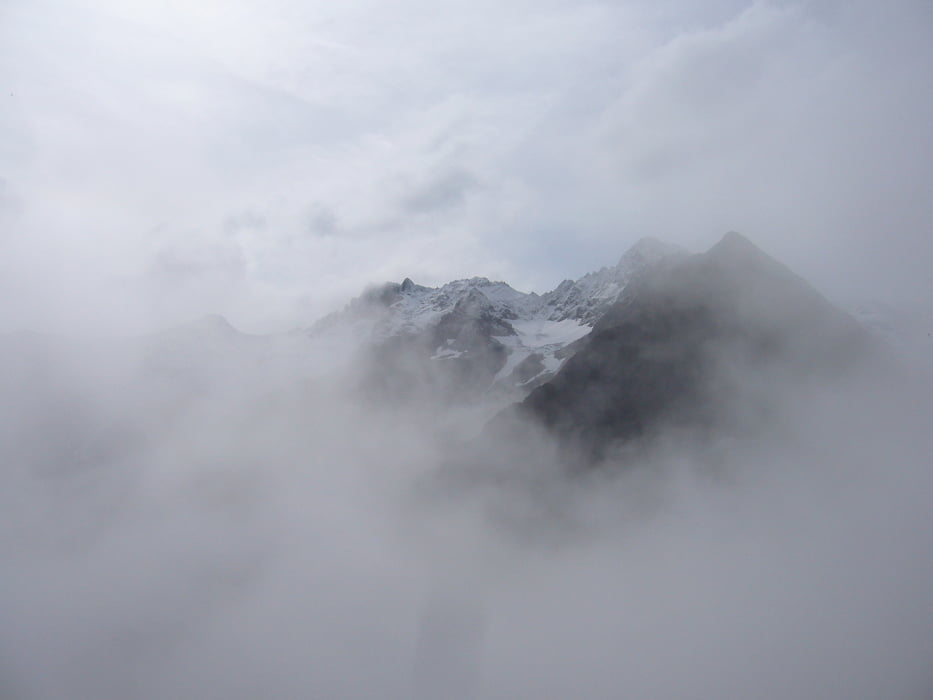
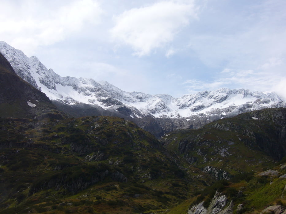
Direkt vom Parkplatz geht es zunächst gemäßigt bergauf zur Laponesalm. Kurz dahinter beginnt der steile Aufstieg. Wenn es (wie bei uns) die Tage davor viel geregnet hat, ist der Aufstieg sehr matschig und rutschig! Aber auch ohne Regen gibt es viele nassen Wurzeln und Steine. Also etwas aufpassen. Nach einer flacheren Passage durch ein Hochmoor, folgt nochmal ein steilerer Aufstieg zur Bremer Hütte. Die Aussicht ins Gschnitztal ist beeindruckend.
Further information at
http://www.dresdnerhuette.at/Tour gallery


Tour map and elevation profile
Minimum height 1288 m
Maximum height 2401 m
More about the tour author

|
klixx |
Comments

Ausgangspunkt ist der (gebührenpflichtige) öffentliche Parkplatz am Ende des Gschnitztals.
GPS tracks
Trackpoints-
GPX / Garmin Map Source (gpx) download
-
TCX / Garmin Training Center® (tcx) download
-
CRS / Garmin Training Center® (crs) download
-
Google Earth (kml) download
-
G7ToWin (g7t) download
-
TTQV (trk) download
-
Overlay (ovl) download
-
Fugawi (txt) download
-
Kompass (DAV) Track (tk) download
-
Track data sheet (pdf) download
-
Original file of the author (gpx) download
More about the tour author
|
|
klixx |
Add to my favorites
Remove from my favorites
Edit tags
Open track
My score
Rate