

Von Scharnitz über sehr steiler Pürzelgrat zum Brunnensteinspitze (ca. 3 St.) - ganz einsame Strecke im Kiefernwald, traumhaft.
Dann über Brunnensteinspitze zur Tiroler Hütte (war geschlossen und ist warscheinlich nicht mehr bewirtschaftet).
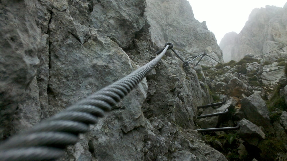
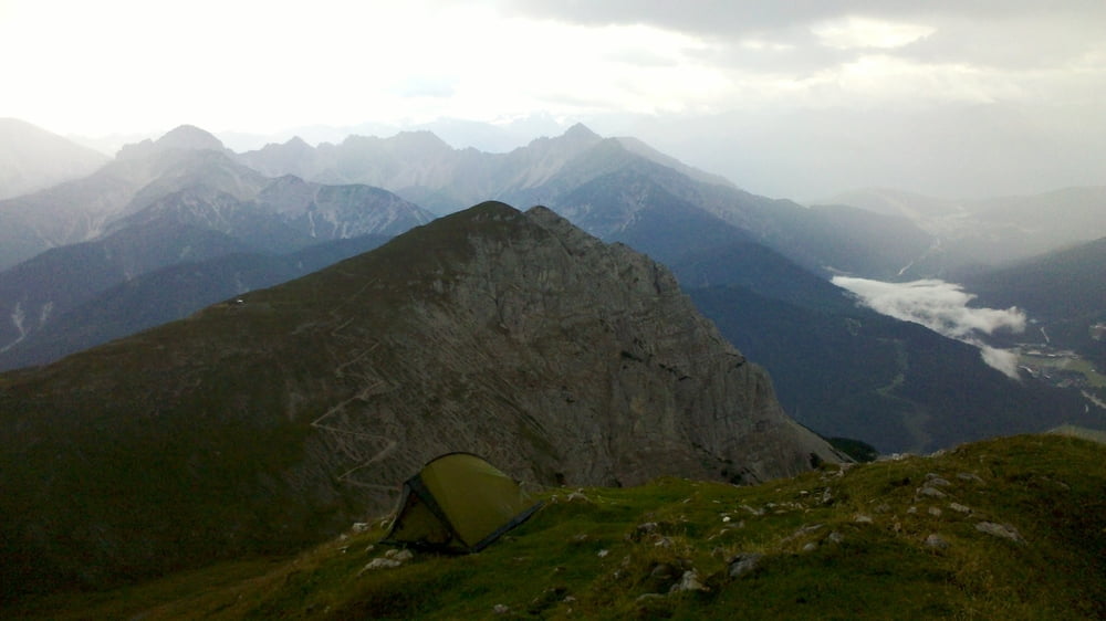
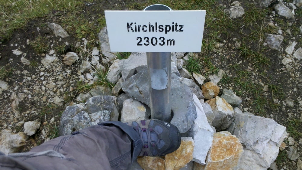
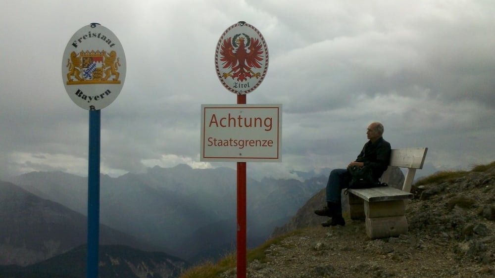
Über mehrere Gipfel ca. 2300m der Grenze und dem Mittenwalder Höhenweg entlang zur Westliche Karwendelspitze.
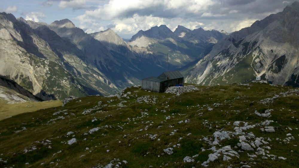
Von dort über bewirtschaftete Dammkar Hütte (1650m) nach unten zum Mittenwald (ca. 2 St).
Alternativ kann man mit dem Karwendelbahn nach unten fahren. (Letzte Talfahrt war um 17 Uhr).
8 Stunden für die ganze Strecke ist reine Gehzeit, ohne Pausen.
Tour gallery
Tour map and elevation profile
Minimum height 911 m
Maximum height 2391 m
More about the tour author
|
|
omir |
Comments

GPS tracks
Trackpoints-
GPX / Garmin Map Source (gpx) download
-
TCX / Garmin Training Center® (tcx) download
-
CRS / Garmin Training Center® (crs) download
-
Google Earth (kml) download
-
G7ToWin (g7t) download
-
TTQV (trk) download
-
Overlay (ovl) download
-
Fugawi (txt) download
-
Kompass (DAV) Track (tk) download
-
Track data sheet (pdf) download
-
Original file of the author (gpx) download
More about the tour author
|
|
omir |
Add to my favorites
Remove from my favorites
Edit tags
Open track
My score
Rate