


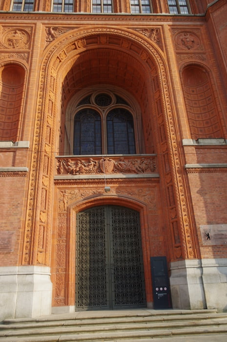
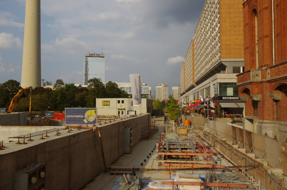
Wir verliessen die S-Bahn nach unserer Wanderung am Müggelsee am Alexanderplatz um noch die U5 Baustelle mit dem Roten Rathaus zu besuchen.
Danach überquerten wir am südlichen Rand die Fischerinsel am Schlossplatz und besuchten den Gendarmenmarkt mit seinen imposanten Gebäuden Französischer Dom, Deutscher Dom und das Konzerthaus Berlin.
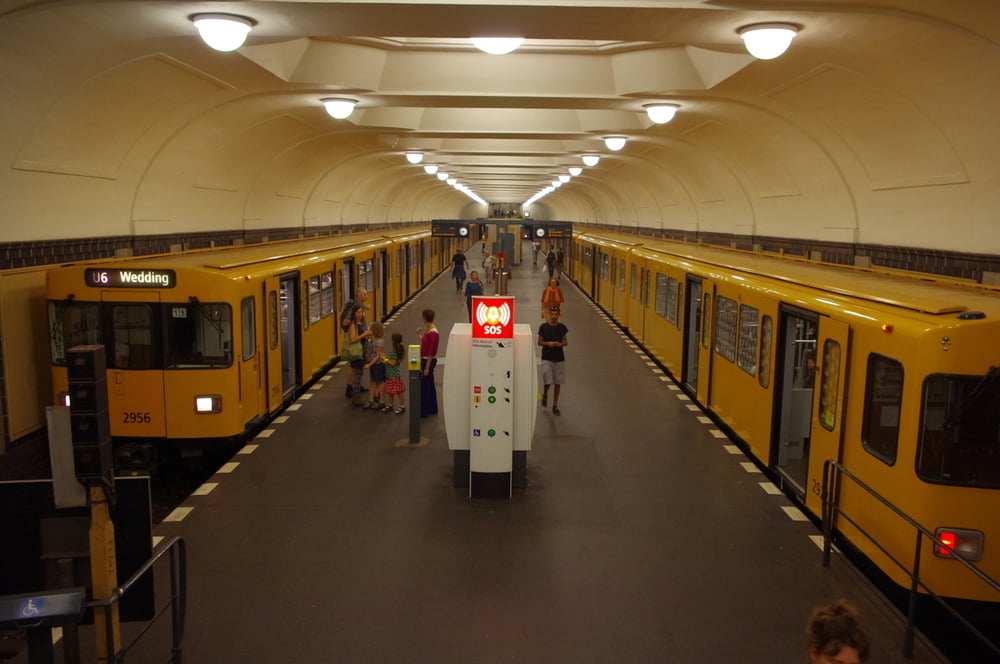
Danach zog es uns zur U-Bahnhof Französische Straße. Von hier fuhren wir bis zum Platz der Luftbrücke.
Den kleinen Hügel zur Bergmannstraße hinunter und darin schlenderten wir bis zur Markthalle am Marheinikeplatz und wieder zurück. Wir aßen bei einem netten Inder gab es ein leckeres Essen bevor wir dann zum S-Bahnhof Yorckstraße von dem wir zurückfuhren.
Netter warmer Sonntagabend.
Further information at
https://de.wikipedia.org/wiki/Historische_Mitte_(Berlin)Tour gallery
Tour map and elevation profile
Minimum height 33 m
Maximum height 52 m
More about the tour author
|
|
Pheinz |
Comments

Start am Bahnhof Alexanderplatz.
GPS tracks
Trackpoints-
GPX / Garmin Map Source (gpx) download
-
TCX / Garmin Training Center® (tcx) download
-
CRS / Garmin Training Center® (crs) download
-
Google Earth (kml) download
-
G7ToWin (g7t) download
-
TTQV (trk) download
-
Overlay (ovl) download
-
Fugawi (txt) download
-
Kompass (DAV) Track (tk) download
-
Track data sheet (pdf) download
-
Original file of the author (gpx) download
More about the tour author
|
|
Pheinz |
Add to my favorites
Remove from my favorites
Edit tags
Open track
My score
Rate