
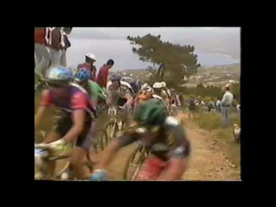

Segnalato in loco con frecce nere con scritto WORLD CUP. Cosi chiamato perchè ricalca il percorso della mitica gara di campionato del mondo di mountain bike del 1994. Inizia con una ripidissima salita nota in loco come sigurt (pendenza massima oltre il 25%), poi si scende per la cessa dell'asta. Verso la fine si prende un sentiero nascosto sulla destra che porta a percorrere il sentiero della valle di fosco in salita. Attenzione che i locali la percorrono spesso in discesa ad elevata velocità! Raggiunto l'anello alto si gira a sinistra e si scende per la sticcianella. Attenzione perchè attualemente quest'ultima ha un fondo paticolarmente rovinato. A mio parere la valle di fosco è una delle più belle DISCESE dell'intera isola, la percorro molto raramente in salita. Attenzione alle discese a tratti molto impegnative e anche ad alcuni tratti in salita in cui bisogna spingere la bici.
Tour gallery

Tour map and elevation profile
Minimum height 167 m
Maximum height 400 m
More about the tour author

|
mikyross |
Comments

italy toscana livorno isola d'elba capoliveri capoliveribikepark
GPS tracks
Trackpoints-
GPX / Garmin Map Source (gpx) download
-
TCX / Garmin Training Center® (tcx) download
-
CRS / Garmin Training Center® (crs) download
-
Google Earth (kml) download
-
G7ToWin (g7t) download
-
TTQV (trk) download
-
Overlay (ovl) download
-
Fugawi (txt) download
-
Kompass (DAV) Track (tk) download
-
Track data sheet (pdf) download
-
Original file of the author (gpx) download
More about the tour author
|
|
mikyross |
Add to my favorites
Remove from my favorites
Edit tags
Open track
My score
Rate