


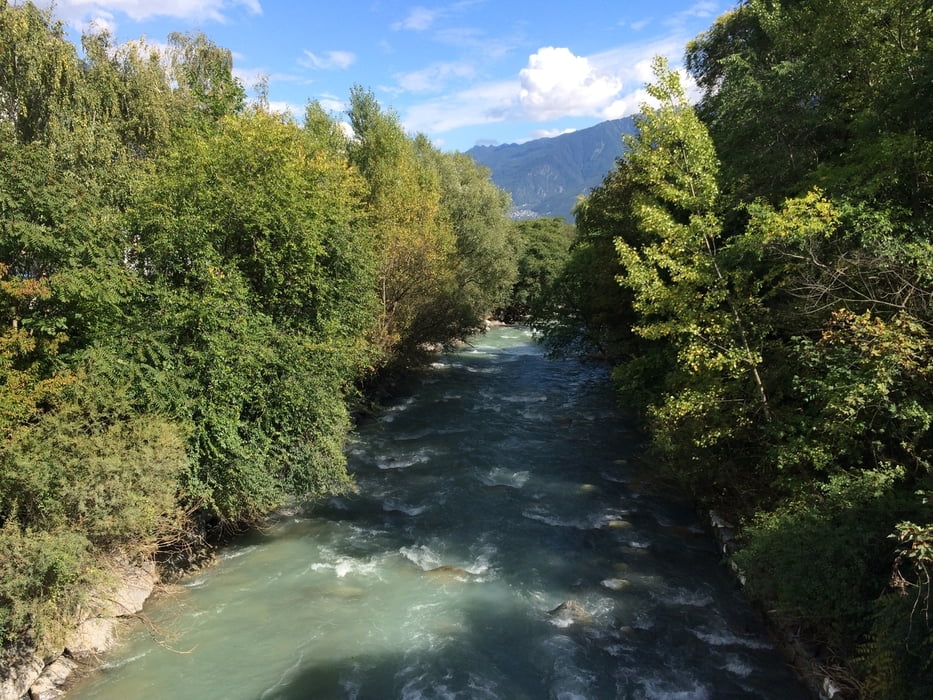
Nach einem kurzen und nicht besonders fordernden Anstieg von Nauders zum Reschenpass hat man den Rest der Etappe nur noch leichtes Genussfahren vor sich. Man fährt die Via Claudia Augusta durch das Vinschgau, entlang an zig Apfelplantagen. Dies bedeutet, daß sich das landschaftliche Erlebniss eher auf den ersten Teil der Etappe beschränkt, denn irgendwann werd Äpfel auch etwas langweilig..;-) Aber wenn man nach links und recht schaut, bleibt es dennoch landschaftlich top. Und der Flair der kleinen Städchen und Dörfer tut sein übriges.
Empfehlenswert im Etappenziel Goldrain: Die Bike Chillout-Zone bei der Bar Vis-a-Vis. :-)
Tour gallery
Tour map and elevation profile
Minimum height 683 m
Maximum height 1520 m
More about the tour author

|
a_moser |
Comments

GPS tracks
Trackpoints-
GPX / Garmin Map Source (gpx) download
-
TCX / Garmin Training Center® (tcx) download
-
CRS / Garmin Training Center® (crs) download
-
Google Earth (kml) download
-
G7ToWin (g7t) download
-
TTQV (trk) download
-
Overlay (ovl) download
-
Fugawi (txt) download
-
Kompass (DAV) Track (tk) download
-
Track data sheet (pdf) download
-
Original file of the author (gpx) download
More about the tour author
|
|
a_moser |
Add to my favorites
Remove from my favorites
Edit tags
Open track
My score
Rate