


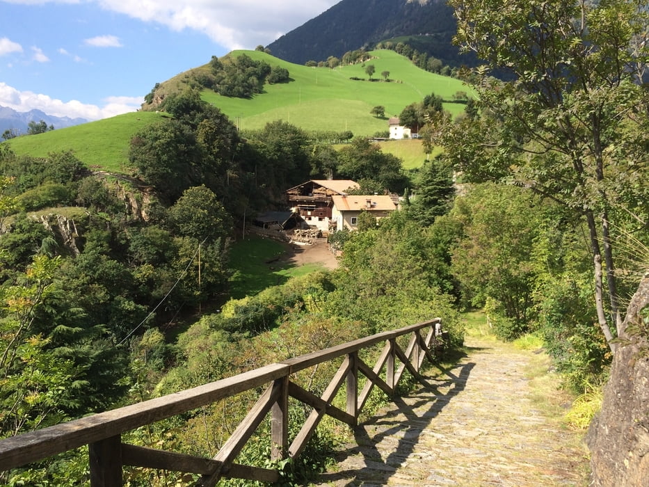
Um die letzte Etappe nicht allzu einfach zu gestalten, gibt es kurz vor Naturns einen Abstecher zum Schloss Juval hoch. Knackige knapp 400 Höhenmeter am Stück die Serpentinen entlang und man hat das Museumsschloss von Reinhold Messner erreicht. Etwas unterhalb davon gibt es eine schöne Jausenstation (Sonnenwirt) mit grandiosem Blick auf das Etschtal. (Vorsicht: Das Vesperbrett schafft man alleine nicht..;-) )
Es geht auf dem selben Weg wieder ins Tal zurück und die Tour klingt gemütlich aus, bis man das Zentrum von Meran erreicht hat.
Viel Spaß!
Tour gallery

Tour map and elevation profile
Minimum height 316 m
Maximum height 911 m
More about the tour author

|
a_moser |
Comments

GPS tracks
Trackpoints-
GPX / Garmin Map Source (gpx) download
-
TCX / Garmin Training Center® (tcx) download
-
CRS / Garmin Training Center® (crs) download
-
Google Earth (kml) download
-
G7ToWin (g7t) download
-
TTQV (trk) download
-
Overlay (ovl) download
-
Fugawi (txt) download
-
Kompass (DAV) Track (tk) download
-
Track data sheet (pdf) download
-
Original file of the author (gpx) download
More about the tour author
|
|
a_moser |
Add to my favorites
Remove from my favorites
Edit tags
Open track
My score
Rate