


24.2.2008
Interests:
- birth-house of Joseph Haydn in Rohrau
- castle in Rohrau
- Speedworld (driving school) in Pachfurth
- castle, old town in Bruck an der Leitha
- barracks and memorial of world war in Bruckneudorf
- soldiers friedhof (Russian, Italian, Austrian,..)
- burg ruine Scharfeneck (under it is monastery of St. Ann)
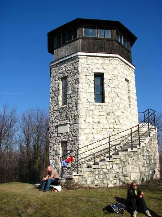
- watchtower Kaiserreiche
- church and whole town Breitenbrunn
- lake Neusiedler See
- windy powerplats around here
Interests:
- birth-house of Joseph Haydn in Rohrau
- castle in Rohrau
- Speedworld (driving school) in Pachfurth
- castle, old town in Bruck an der Leitha
- barracks and memorial of world war in Bruckneudorf
- soldiers friedhof (Russian, Italian, Austrian,..)
- burg ruine Scharfeneck (under it is monastery of St. Ann)
- watchtower Kaiserreiche
- church and whole town Breitenbrunn
- lake Neusiedler See
- windy powerplats around here
Tour gallery
Tour map and elevation profile
Minimum height 121 m
Maximum height 446 m
More about the tour author
|
|
tmax |
Comments

Bratislava - Berg - Edelstal - Prellenkirchen - Schonabrunn - Hollern - Rohrau - Gerhaus - Pachfurth - Bruck an der Leitha - Bruckneudorf - Kaisersteinbruch - Leithagebirge - Scharfeneck - Kaiserreiche - Breitenbrunn - Winden - Jois - Neusiedl am See - Parndorf - Potzneusiedl - Bad-Deutsch Altenburg - Prellenkirchen - Edelstal - Berg - Bratislava
GPS tracks
Trackpoints-
GPX / Garmin Map Source (gpx) download
-
TCX / Garmin Training Center® (tcx) download
-
CRS / Garmin Training Center® (crs) download
-
Google Earth (kml) download
-
G7ToWin (g7t) download
-
TTQV (trk) download
-
Overlay (ovl) download
-
Fugawi (txt) download
-
Kompass (DAV) Track (tk) download
-
Track data sheet (pdf) download
-
Original file of the author (g7t) download
More about the tour author
|
|
tmax |
Add to my favorites
Remove from my favorites
Edit tags
Open track
My score
Rate