


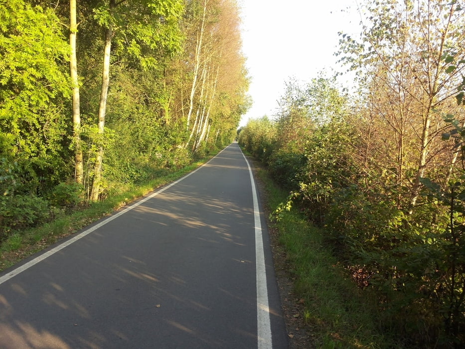
Start am Nachmittag in der Falkenstraße. Erst um 16.30 Uhr bei tollem Wetter gestartet. Auf mir gut bekannten Wegen schnell bis Wipperfürth-Neyesiedlung. Es wurde schon merklich dunkler und ich hatte kein Licht dabei. Trotzdem habe ich mich dann für die Neye - Armseite entschieden und mich dabei zeitlich total verschätzt. Nach einem kleinen Sturz wegen einer nicht sichtbaren Fahrrinne habe ich es dann noch etwas langsamer angehen lassen. Zum Schluss "durfte" ich dann schieben, weil ich nichts mehr sah. Und dabei glaubt man die Wege zu kennen. Nie mehr ohne Licht in dieser Jahreszeit so spät starten. Das neue Lichtset ist seit Freitag da.
Tour gallery

Tour map and elevation profile
Minimum height 265 m
Maximum height 450 m
More about the tour author
|
|
neuser |
Comments

GPS tracks
Trackpoints-
GPX / Garmin Map Source (gpx) download
-
TCX / Garmin Training Center® (tcx) download
-
CRS / Garmin Training Center® (crs) download
-
Google Earth (kml) download
-
G7ToWin (g7t) download
-
TTQV (trk) download
-
Overlay (ovl) download
-
Fugawi (txt) download
-
Kompass (DAV) Track (tk) download
-
Track data sheet (pdf) download
-
Original file of the author (gpx) download
More about the tour author
|
|
neuser |
Add to my favorites
Remove from my favorites
Edit tags
Open track
My score
Rate