


Start der Tour ist in Breitenstein beim Blunzenwirt.
Über die Semmeringstraße und die Adlitzgrabenstraße geht es nach Semmering
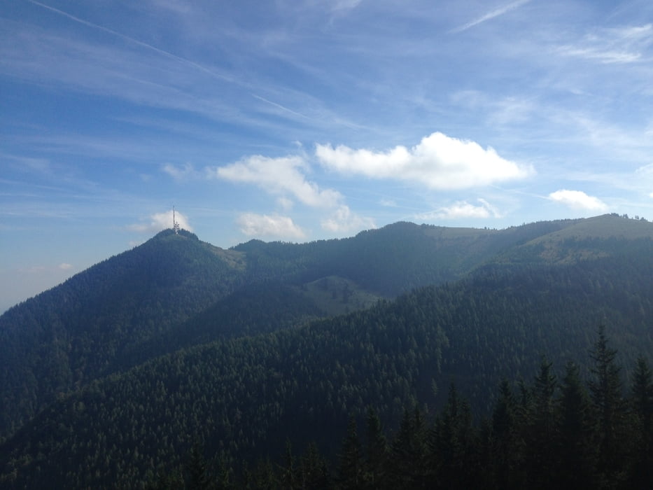
danach über die Up & Downstrecke auf den Hirschenkogel und wieder zurück nach
Semmering.
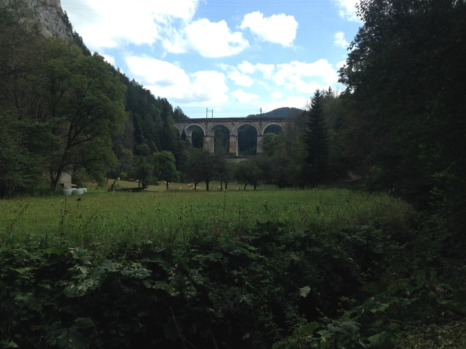
Über die Hochstraße und die Weltkulturerbestrecke gelangt man nach Talhof
und weiter zur Kalte Rinne, über diese geht es zurück nach Breitenstein.
Further information at
http://www.bikeparksemmering.at/de/bikepark/Tour gallery
Tour map and elevation profile
Minimum height 686 m
Maximum height 1341 m
More about the tour author
|
|
kersti |
Comments

Parkmöglichkeit beim Blunzenwirt in Breitenstein
GPS tracks
Trackpoints-
GPX / Garmin Map Source (gpx) download
-
TCX / Garmin Training Center® (tcx) download
-
CRS / Garmin Training Center® (crs) download
-
Google Earth (kml) download
-
G7ToWin (g7t) download
-
TTQV (trk) download
-
Overlay (ovl) download
-
Fugawi (txt) download
-
Kompass (DAV) Track (tk) download
-
Track data sheet (pdf) download
-
Original file of the author (gpx) download
More about the tour author
|
|
kersti |
Add to my favorites
Remove from my favorites
Edit tags
Open track
My score
Rate