


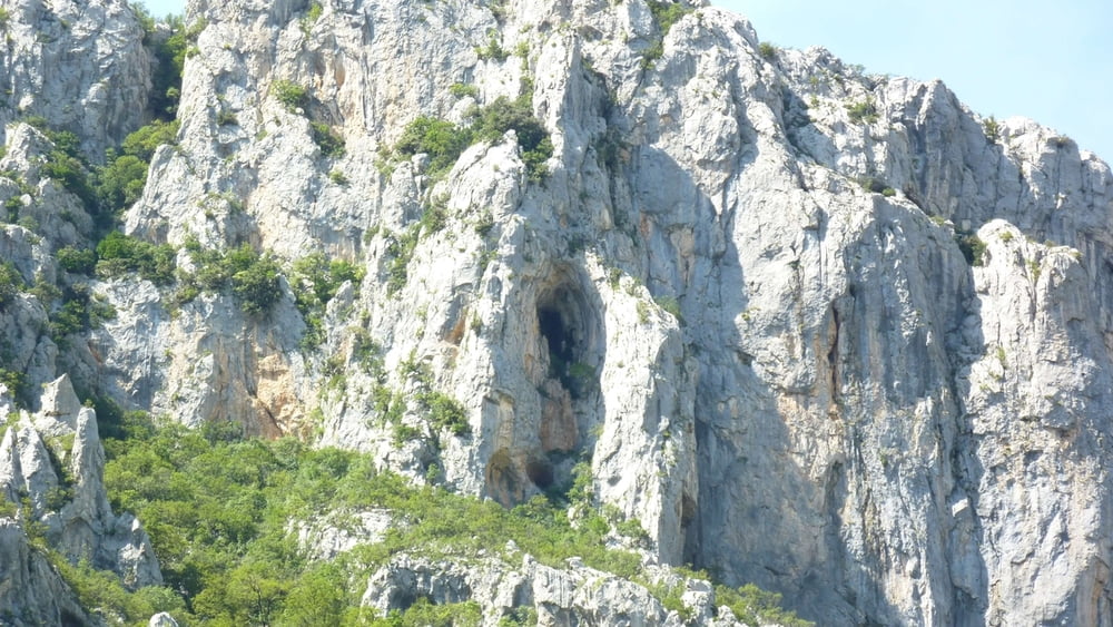
Schöne Wanderung im Paklenica Park.
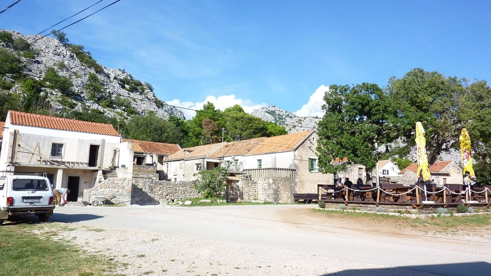
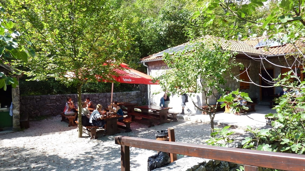
Anfangs geht es steil berauf vorbei an Kletterern. Dann wird es flach bis zur Forsthütte, wo man gut einkehren und eine deftige Wurst essen kann.
Man kann von da noch weiterlaufen bis zur Berghütte Paklenica, die auch bewirtschaftet ist.
Zurück geht es auf dem gleichen Weg, wie man gekommen ist.
Further information at
http://www.paklenica.hr/de/Tour gallery

Tour map and elevation profile
Minimum height 19 m
Maximum height 374 m
More about the tour author
|
|
buehlems |
Comments

Mit dem Auto bis Starigrad Paklenica, dort ist der Parkeingang angeschrieben.
Wir haben im Ort vor dem Parkeingang mit unserem Wohnmobil geparkt. Von dort sind es noch ca. 500m bis zur "Zahlstelle" und noch ca. 2km bis zum eigentlichen Eingang. Zwischen "Zahlstelle" und Eingang gibt es noch viele Parkplätze.
GPS tracks
Trackpoints-
GPX / Garmin Map Source (gpx) download
-
TCX / Garmin Training Center® (tcx) download
-
CRS / Garmin Training Center® (crs) download
-
Google Earth (kml) download
-
G7ToWin (g7t) download
-
TTQV (trk) download
-
Overlay (ovl) download
-
Fugawi (txt) download
-
Kompass (DAV) Track (tk) download
-
Track data sheet (pdf) download
-
Original file of the author (gpx) download
More about the tour author
|
|
buehlems |
Add to my favorites
Remove from my favorites
Edit tags
Open track
My score
Rate