Login

Forgot your login?

Cookies have to be accepted!
Your browser's cookie functionality is disabled. Please enable this functionality.

Not a member yet?

Register now
Login

Available for registred users only

Log in to use this feature.

Forgot your login?

Cookies have to be accepted!
Your browser's cookie functionality is disabled. Please enable this functionality.

Not a member yet?

Register now
Filter
Categories
Advanced filters
  • Distance (km)
  • Height
Save filters Reset filter

TrackRank

QRCode

Technical data

Distance67,5 km Height716 m Way down727 m Duration03:30 h:m Date21.09.2014
Scores Author Landscape Fun factor Fitness Technique

Statistics

189 Views Scores 8 Downloads Average
Rate
  • Track data sheet
  • Directions
  • Downloads

Von Zeil über den Main. Entlang der Steigerwald-Weinhänge, vorbei am Zabelstein nach Michelau. Dort in östliche Richtung, durch das Tal der rauhen Ebrach, bis Prölsdorf. Dann über Dankenfeld, Kirchaich und Lembach ins Maintal. Von Dippach zurück nach Zeil.

Die Tour führt vorwiegend über Radwege, wenig befahrene Landstrassen, durch eine herrliche Natur.
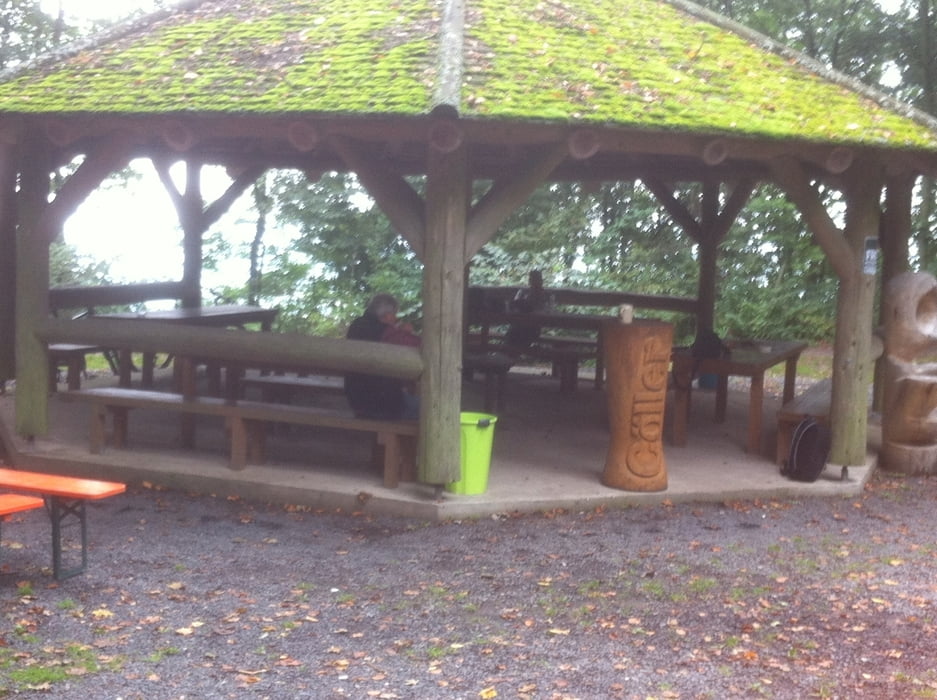
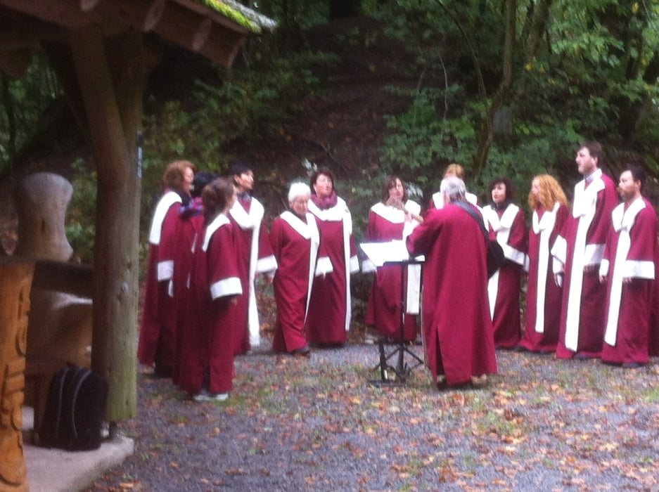
 

Tour gallery

Tour map and elevation profile

  • Open Street Map
  • Google
Minimum height 206 m Maximum height 405 m Detailed view

More about the tour author

Astro
Member since 2009

Send private message

Comments

Zeil liegt ca. in der Mitte von Schweinfurt und Bamberg. Mit dem Zug oder BAB 73 gut zu erreichen!


GPS tracks

Trackpoints
  • GPX / Garmin Map Source (gpx) download
  • TCX / Garmin Training Center® (tcx) download
  • CRS / Garmin Training Center® (crs) download
  • Google Earth (kml) download
  • G7ToWin (g7t) download
  • TTQV (trk) download
  • Overlay (ovl) download
  • Fugawi (txt) download
  • Kompass (DAV) Track (tk) download
  • Track data sheet (pdf) download
  • Original file of the author (gpx) download

More about the tour author

Astro
Member since 2009

Send private message
Share track
Add to my favorites
Remove from my favorites
Edit tags
My score
Rate
Track: Von Zeil am Main entlang am Steigerwald und durch's Tal der Rauhen Ebrach
Type: Road biking
Distance: 67,5 km
Evaluated on:
Duration:
Day(s)
Hour(s)
Minute(s)
Score: Landscape Fun factor Fitness Technique