


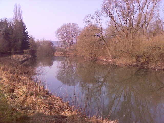
Start unserer Runde wie immer in Dutenhofen. Von dort sind wir an der Lahn entlang nach Giessen, ein Stück weiter durch die Wieseckaue und hinter Wieseck Richtung Lollar. Nach einem kleinen Abstecher über den Lollarer Kopf (ca. 290m) sind wir dann wiederum an der Lahn entlang zurück nach Giessen und über Heuchelheim nach Dutenhofen. Eine etwas kleinere Runde, dafür aber bei herrlichem Wetter!
Further information at
http://www.110ers.deTour gallery
Tour map and elevation profile
Minimum height 159 m
Maximum height 289 m
More about the tour author
|
|
Oehli |
Comments

Nähe Sportplatz Dutenhofen: Von Wetzlar kommend direkt am Ortseingang links abbiegen Richtung Sportplatz. Aus Richtung Giessen oder Münchholzhausen fast bis zum Ortsausgang Richtung Wetzlar fahren und dann rechts ab.
Alternativ gehts auch über die B49 Abfahrt Dutenhofen, durch den Ort bis zum Globus und dort rechts ab Richtung Wetzlar und ebenfalls kurz vor dem Ortsausgang rechts ab.
Alternativ gehts auch über die B49 Abfahrt Dutenhofen, durch den Ort bis zum Globus und dort rechts ab Richtung Wetzlar und ebenfalls kurz vor dem Ortsausgang rechts ab.
GPS tracks
Trackpoints-
GPX / Garmin Map Source (gpx) download
-
TCX / Garmin Training Center® (tcx) download
-
CRS / Garmin Training Center® (crs) download
-
Google Earth (kml) download
-
G7ToWin (g7t) download
-
TTQV (trk) download
-
Overlay (ovl) download
-
Fugawi (txt) download
-
Kompass (DAV) Track (tk) download
-
Track data sheet (pdf) download
-
Original file of the author (gpx) download
More about the tour author
|
|
Oehli |
Add to my favorites
Remove from my favorites
Edit tags
Open track
My score
Rate