Login

Forgot your login?

Cookies have to be accepted!
Your browser's cookie functionality is disabled. Please enable this functionality.

Not a member yet?

Register now
Login

Available for registred users only

Log in to use this feature.

Forgot your login?

Cookies have to be accepted!
Your browser's cookie functionality is disabled. Please enable this functionality.

Not a member yet?

Register now
Filter
Categories
Advanced filters
  • Distance (km)
  • Height
Save filters Reset filter

TrackRank

QRCode

Technical data

Distance56,5 km Height1542 m Way down1544 m Duration00:00 h:m Date25.09.2014
Scores Author Landscape Fun factor Fitness Technique

Statistics

396 Views Scores 24 Downloads Average
Rate
  • Track data sheet
  • Directions
  • Downloads
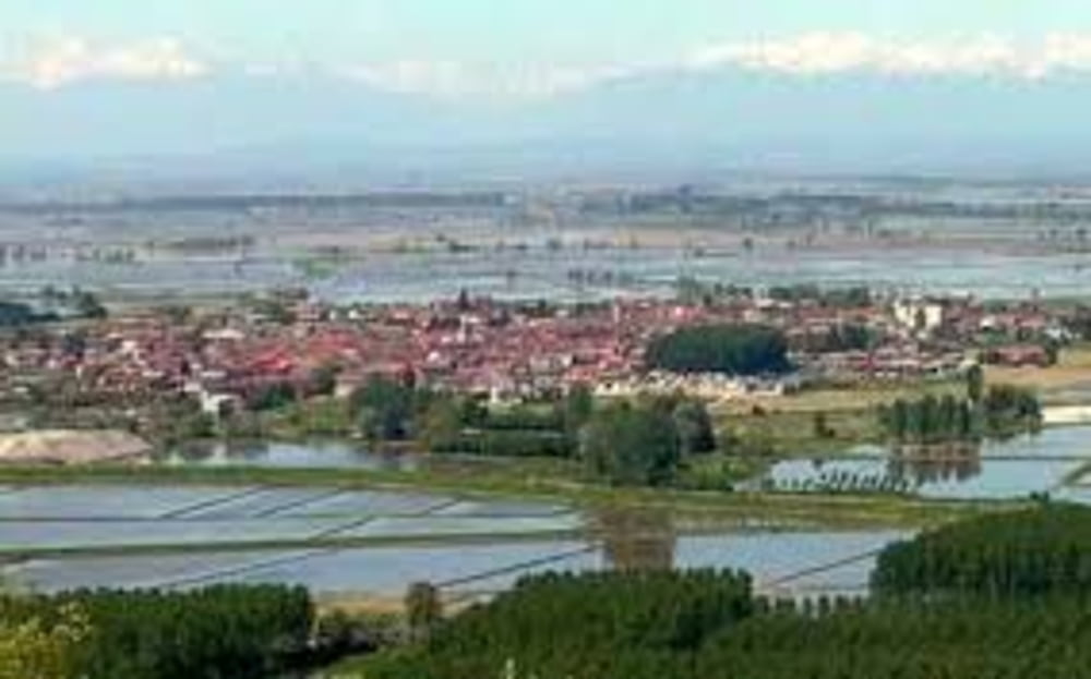
Una vera granfondo per atleti allenati, ci vorranno dalle 5 alle 7 ore per percorrere tutto il tracciato, ma se avete la gamba buona questo rappresenta senza dubbio il giro più completo che possiate fare nella zona. Panorami mozzafiato dalla cime delle colline che si innalzano sulla riva del Po

Tour map and elevation profile

  • Open Street Map
  • Google
Minimum height 138 m Maximum height 414 m Detailed view

More about the tour author

gianmariocerrina1982
Member since 2014

Send private message

Comments

Via Nazionale, 76 Cerrina Monferrato 15020 AL

Di fronte si trova una piazza con comodo parcheggio e fontana.

GPS tracks

Trackpoints
  • GPX / Garmin Map Source (gpx) download
  • TCX / Garmin Training Center® (tcx) download
  • CRS / Garmin Training Center® (crs) download
  • Google Earth (kml) download
  • G7ToWin (g7t) download
  • TTQV (trk) download
  • Overlay (ovl) download
  • Fugawi (txt) download
  • Kompass (DAV) Track (tk) download
  • Track data sheet (pdf) download
  • Original file of the author (gpx) download

More about the tour author

gianmariocerrina1982
Member since 2014

Send private message
Share track
Add to my favorites
Remove from my favorites
Edit tags
My score
Rate
Track: Dai boschi di castagne alle rive del Po
Type: Mountain bike
Distance: 56,5 km
Evaluated on:
Duration:
Day(s)
Hour(s)
Minute(s)
Score: Landscape Fun factor Fitness Technique