


Start der Tour ist der Campingplatz in Arco am Gardasee.
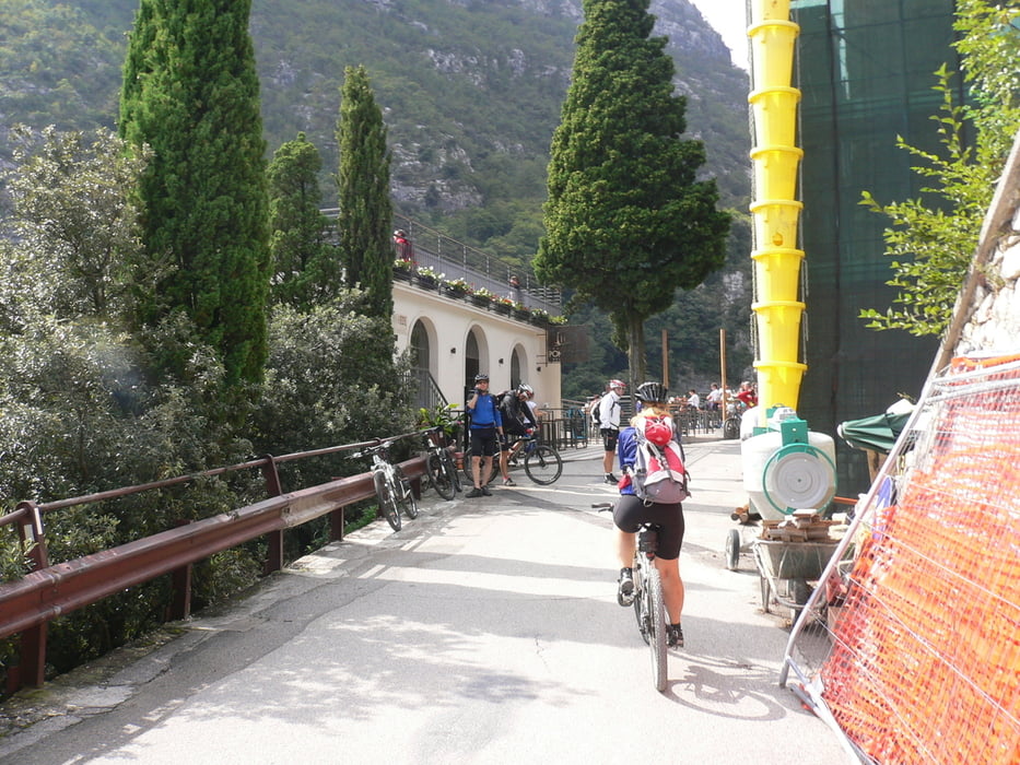
Auf kleinen Straßen und einem Radweg fahren wir nach Riva del Garda
und auf der alten Ponalestraße auf Schotter ins Ledrotal hinauf.
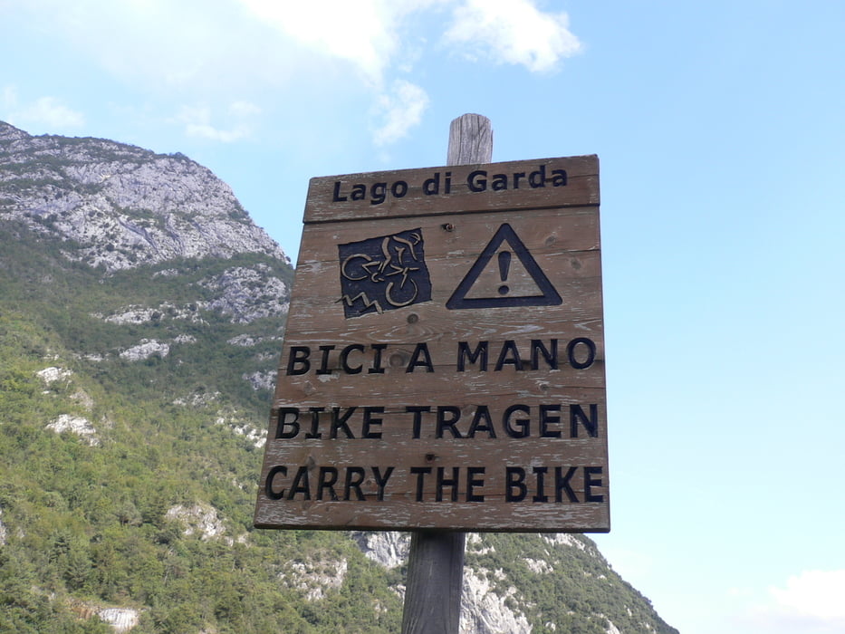
Auf der gegenüberliegenden Seite im Ledrotal fahren wir wieder bergab. Ein Schild „Bike tragen“ steht am Anfang des Weges.
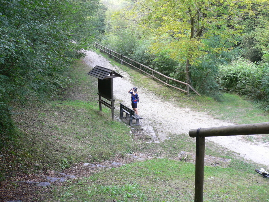
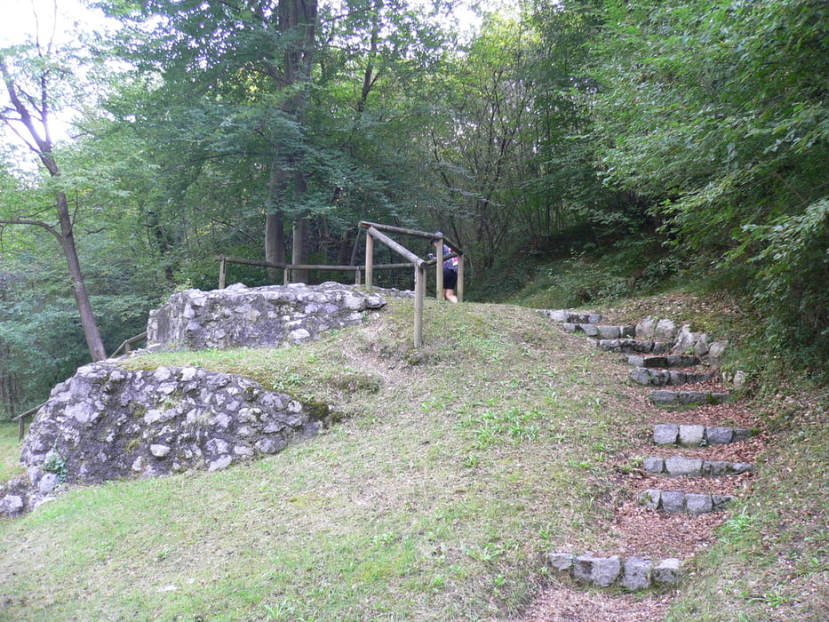
Der Weg ist sehr sehr lange fahrbar lediglich die letzten paar Meter ist das Bike bergab zu schieben. Zumindest haben wir das Bike dort geschoben :-) An dieser Bergab Passage war früher das „geteilte Dorf“ Ein paar Relikte und eine Schautafel erinnern noch daran.
Wir rollen die alte Ponalestraße wieder hinab und fahren noch am Gardasee Ufer entlang. Danach Radweg entlang der Sarce retour zum Campingplatz
Tour gallery
Tour map and elevation profile
Minimum height 67 m
Maximum height 404 m
More about the tour author
|
|
Hoar |
Comments

Start und Ziel Arco am Gardasee
GPS tracks
Trackpoints-
GPX / Garmin Map Source (gpx) download
-
TCX / Garmin Training Center® (tcx) download
-
CRS / Garmin Training Center® (crs) download
-
Google Earth (kml) download
-
G7ToWin (g7t) download
-
TTQV (trk) download
-
Overlay (ovl) download
-
Fugawi (txt) download
-
Kompass (DAV) Track (tk) download
-
Track data sheet (pdf) download
-
Original file of the author (gpx) download
More about the tour author
|
|
Hoar |
Add to my favorites
Remove from my favorites
Edit tags
Open track
My score
Rate