


Die Tour beginnt am schönen Camping Jasenovo
Ein paar Kilometer entlang der Küstenstraße Richtung Primosten.
Am Schild Baselovici links abbiegen.
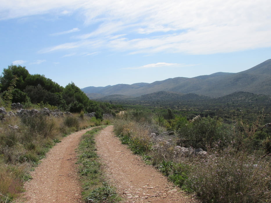
Zuerst auf einem Feldweg, anschließend auf einer Teerstraße geht's dann Richtung den Miniortschaften Bmjaca und weiter auf einem Feldweg nach Konoba.
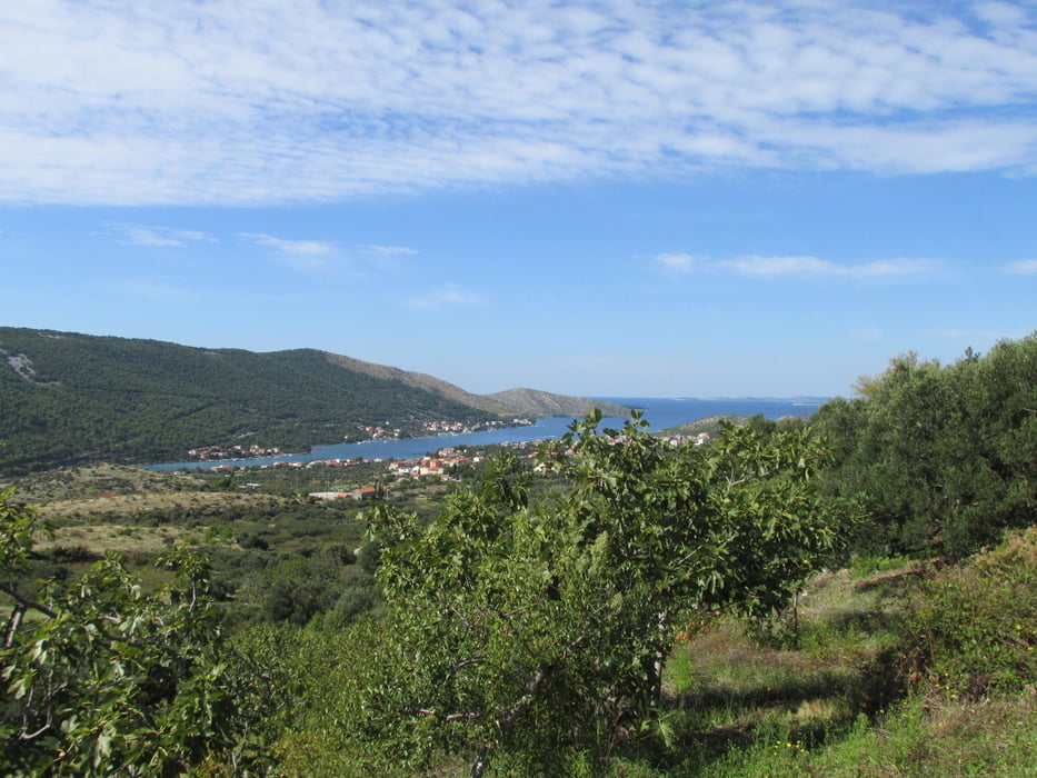
Schade, dass es hier nicht weiter geht und wir wieder auf die Teerstraße zurück nach Grebastica fahren mussten.
Da uns die Runde noch zu kurz war, fuhren wir auf die Halbinsel V. Ostrica.
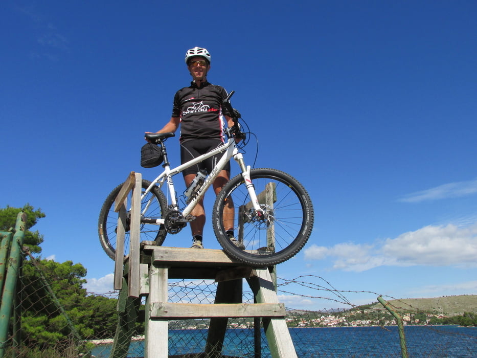
Zuerst mussten wir einen Zaun mit Hilfe der Fußgängertreppen überwinden.
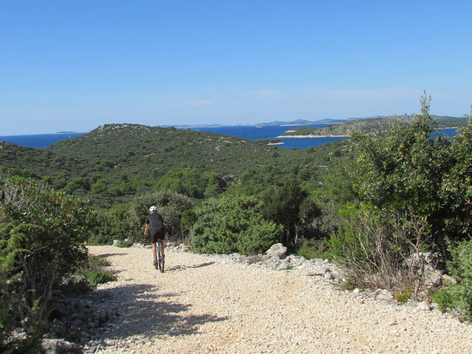
Ein wunderschöner, sehr gut befahrbarer (manchmal etwas tiefschottriger) Weg führte uns dann Richtung Leuchtturm.
Keine Menschenseele zu sehen, lediglich ein paar Rehe und Ziegen waren unterwegs.
Auf dem selben Weg ging es dann wieder zurück.
schöne Runde, ohne technische Höchstschwierigkeiten!
Tour gallery
Tour map and elevation profile
Minimum height -5 m
Maximum height 157 m
More about the tour author
|
|
Vogge |
Comments

Camping Jasenovo
GPS tracks
Trackpoints-
GPX / Garmin Map Source (gpx) download
-
TCX / Garmin Training Center® (tcx) download
-
CRS / Garmin Training Center® (crs) download
-
Google Earth (kml) download
-
G7ToWin (g7t) download
-
TTQV (trk) download
-
Overlay (ovl) download
-
Fugawi (txt) download
-
Kompass (DAV) Track (tk) download
-
Track data sheet (pdf) download
-
Original file of the author (gpx) download
More about the tour author
|
|
Vogge |
Add to my favorites
Remove from my favorites
Edit tags
Open track
My score
Rate