

Gibraltar Wanderung auf den Upper rock
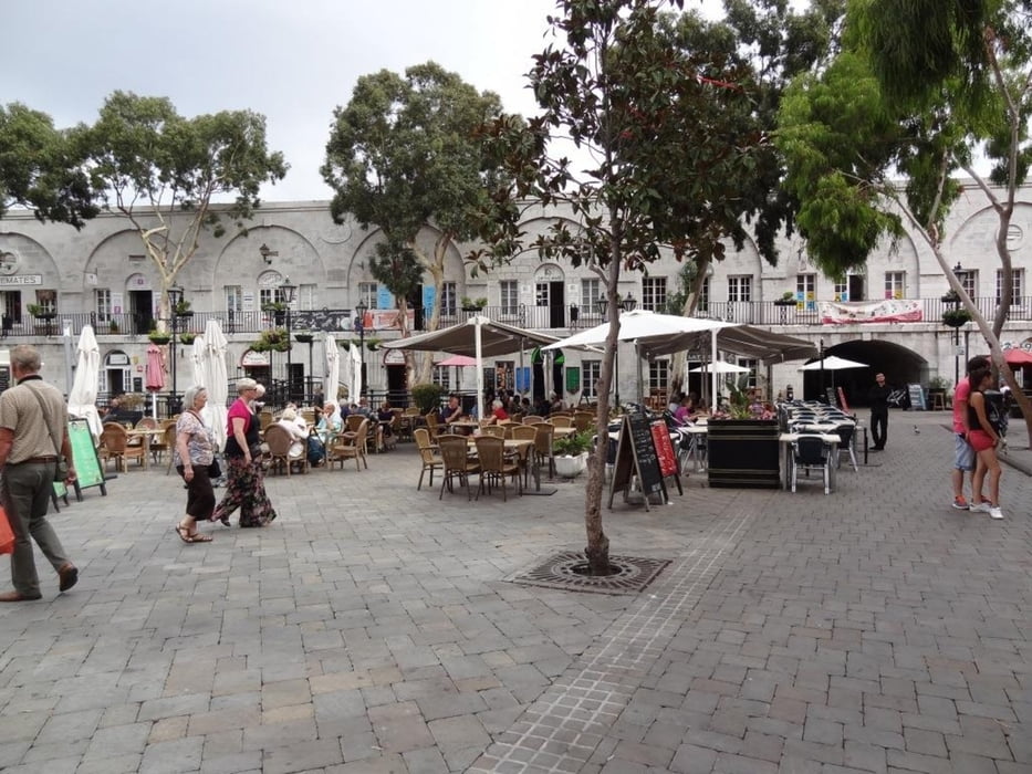
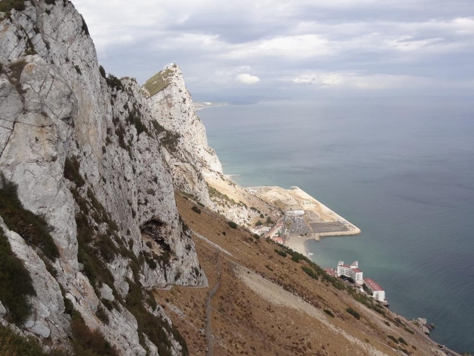
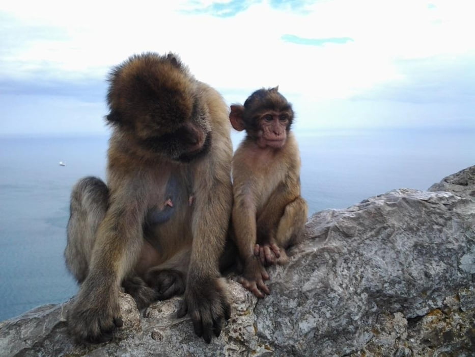
Die Tour startet am Grenzübergang Spanien Gibraltar, Personalausweis oder Reisepass wird benötigt. Bei der Anfahrt mit dem Auto sollte man in La Linea parken. Dort gibt es mehrere Parkhäuser, die ein paar hundert Meter von der Grenze entfernt sind. Die Tour führt erst durch die Hauptstraßen und dann durch das Naturschutzgebiet Upper Rock Reserve zur Bergstation der Seilbahn. Unterwegs trifft man eine Menge Affen. Auf dem Weg rauf sind nur wenige Wanderer unterwegs. Als Wanderer beträgt der Eintritt in das Naturschutzgebiet 50 pence oder 1 €. Festes Schuhwerk sollte man anhaben.
Die Runde ist gegen den Uhrzeigersinn aufgenommen.
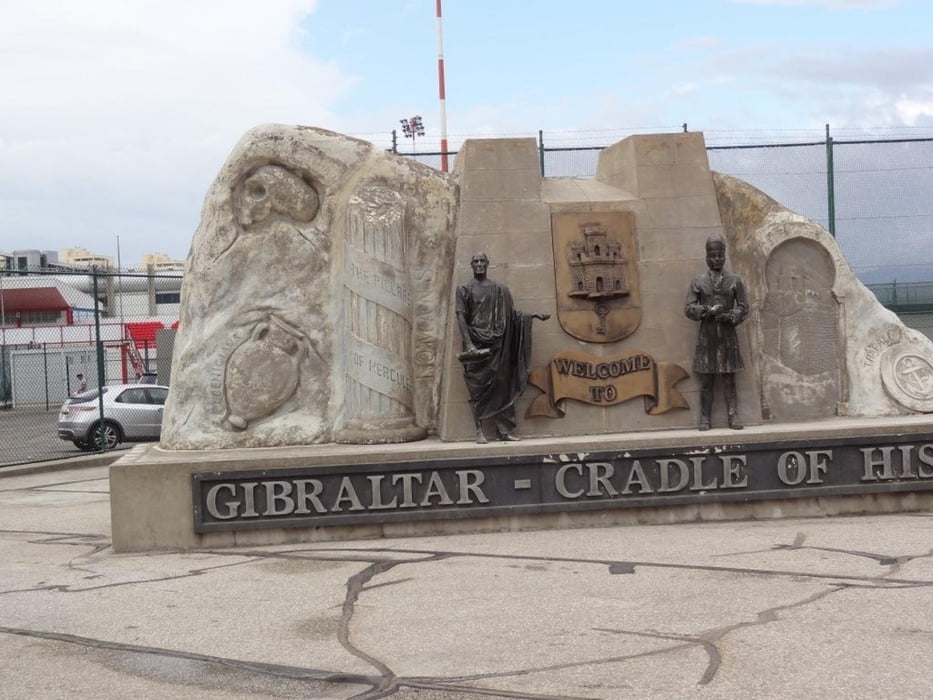
Start Grenzstation Gibraltar.
Die Tour startet am Grenzübergang Spanien Gibraltar, Personalausweis oder Reisepass wird benötigt. Bei der Anfahrt mit dem Auto sollte man in La Linea parken. Dort gibt es mehrere Parkhäuser, die ein paar hundert Meter von der Grenze entfernt sind. Die Tour führt erst durch die Hauptstraßen und dann durch das Naturschutzgebiet Upper Rock Reserve zur Bergstation der Seilbahn. Unterwegs trifft man eine Menge Affen. Auf dem Weg rauf sind nur wenige Wanderer unterwegs. Als Wanderer beträgt der Eintritt in das Naturschutzgebiet 50 pence oder 1 €. Festes Schuhwerk sollte man anhaben.
Die Runde ist gegen den Uhrzeigersinn aufgenommen.
Start Grenzstation Gibraltar.
Tour gallery
Tour map and elevation profile
Minimum height -1 m
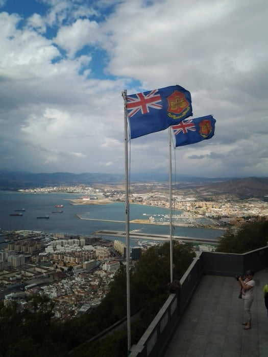
Maximum height 378 m
More about the tour author
|
|
Shaolin |
Comments

Start Grenzstation Gibraltar. N36° 09.296' W5° 20.907'
Parken sollte man in La Linea
GPS tracks
Trackpoints-
GPX / Garmin Map Source (gpx) download
-
TCX / Garmin Training Center® (tcx) download
-
CRS / Garmin Training Center® (crs) download
-
Google Earth (kml) download
-
G7ToWin (g7t) download
-
TTQV (trk) download
-
Overlay (ovl) download
-
Fugawi (txt) download
-
Kompass (DAV) Track (tk) download
-
Track data sheet (pdf) download
-
Original file of the author (gpx) download
More about the tour author
|
|
Shaolin |
Add to my favorites
Remove from my favorites
Edit tags
Open track
My score
Rate