
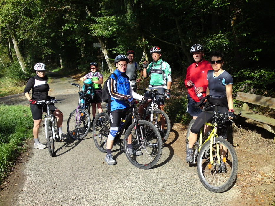

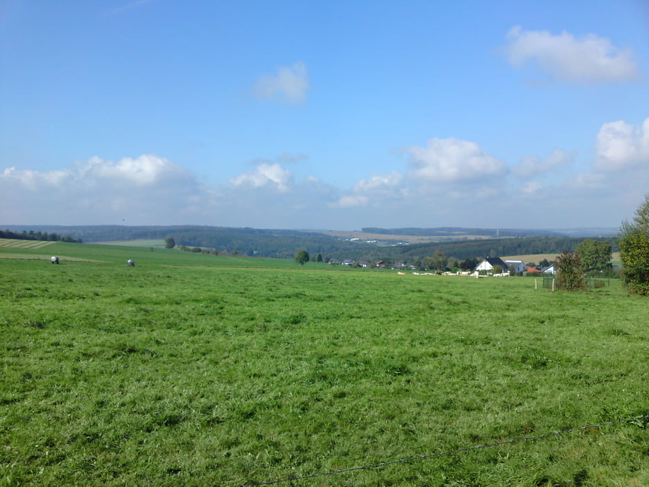
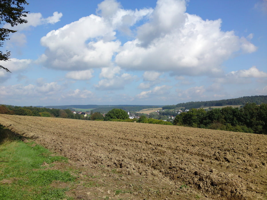
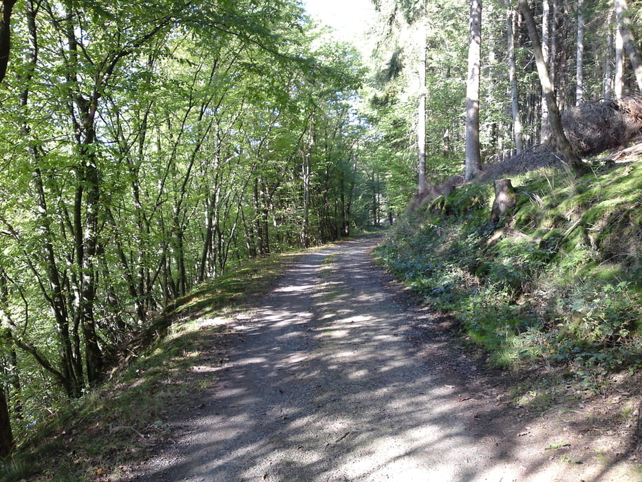
Am 27.09.14 unternahmen wir eine weitere Tour der Betriebssportgemeinschaft der Kreissparkasse Altenkirchen. Ziel war das Puderbacher Land. 5 Teilnehmer trafen sich um 10.00 Uhr auf dem Parkplatz Weyerdamm in Altenkirchen. 3 Teilnehmer stießen unterwegs zu uns und fuhren eine verkürzte Strecke. Eine tolle Tour mit wunderbaren Wegen - teilweise entlang des Wiedsteiges und des Westerwaldsteiges - und tollen Ausblicken. Absolut empfehlenswert. Danke an Holger für die Streckenauswahl.
Tour gallery
Tour map and elevation profile
Minimum height 175 m
Maximum height 376 m
More about the tour author
|
|
hajorenner |
Comments

GPS tracks
Trackpoints-
GPX / Garmin Map Source (gpx) download
-
TCX / Garmin Training Center® (tcx) download
-
CRS / Garmin Training Center® (crs) download
-
Google Earth (kml) download
-
G7ToWin (g7t) download
-
TTQV (trk) download
-
Overlay (ovl) download
-
Fugawi (txt) download
-
Kompass (DAV) Track (tk) download
-
Track data sheet (pdf) download
-
Original file of the author (gpx) download
More about the tour author
|
|
hajorenner |
Add to my favorites
Remove from my favorites
Edit tags
Open track
My score
Rate