


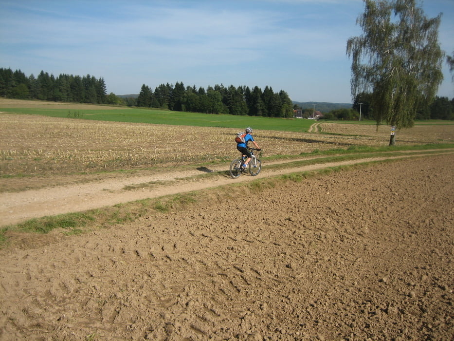
Der Hammerbachtal Höhenweg ist eine Landschaftlich sehr schöne Tour. Technisch ist der Weg sehr einfach auf S0 niveau. Er verläuft auf breiten fast immer sehr gut ausgebauten Flurwegen und Straßen. Zu empfehlen ist ein Hardtail mit gut rollenden Reifen oder ein Treckinfahrrad. Wer ein Fully mit grobstolligen Reifen benutzt wird weniger freude haben.
Der Weg ist sehr gut ausgeschildert bei einigen Schildern muß mann aufpassen, sie sind erst sehr spät zu erkennen da sie parallel zum Weg angebracht sind.
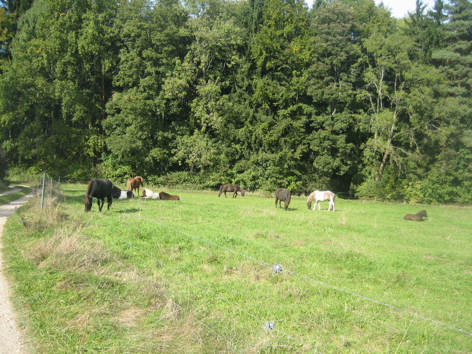
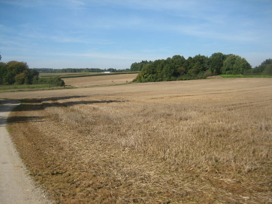
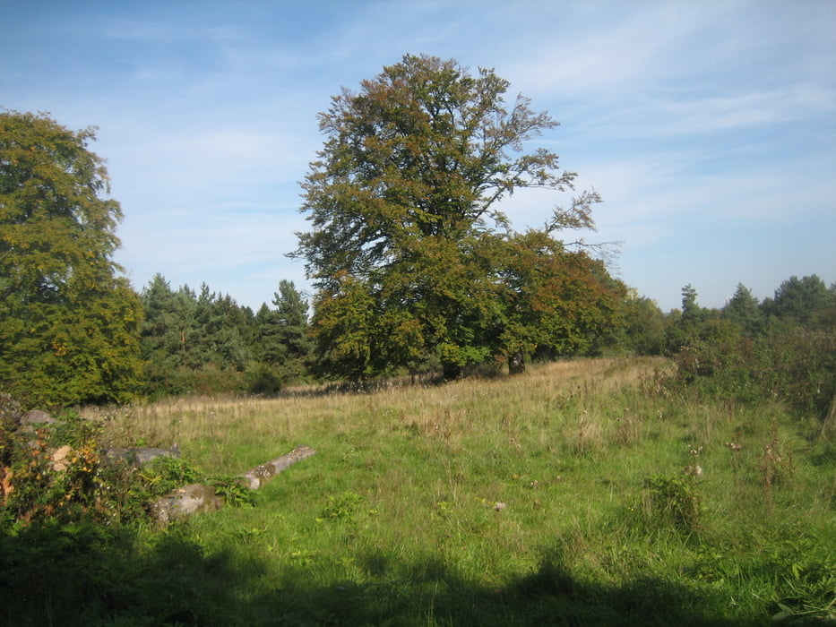
Tour gallery
Tour map and elevation profile
Minimum height 331 m
Maximum height 575 m
More about the tour author
|
|
Rodforer |
Comments

Mit der S-Bahn bis Hefenfeld direkt zum Start.
Mit dem PKW über die B14 nach Henfenfeld, Parken am Park und Ride Parkplatz beim Bahnhof.
GPS tracks
Trackpoints-
GPX / Garmin Map Source (gpx) download
-
TCX / Garmin Training Center® (tcx) download
-
CRS / Garmin Training Center® (crs) download
-
Google Earth (kml) download
-
G7ToWin (g7t) download
-
TTQV (trk) download
-
Overlay (ovl) download
-
Fugawi (txt) download
-
Kompass (DAV) Track (tk) download
-
Track data sheet (pdf) download
-
Original file of the author (gpx) download
More about the tour author
|
|
Rodforer |
Add to my favorites
Remove from my favorites
Edit tags
Open track
My score
Rate