


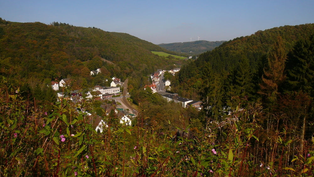
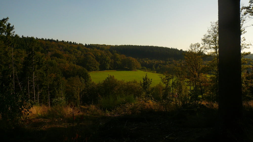
Start in der Falkenstraße, eigentlich hatte ich keine Idee, wohin es heute hingehen sollte, dann aber kam mir Wippekühl in Schalksmühle und die Epscheider Mühle in den Sinn. Also erstmal Ri. Schalksmühle runter und den Berg hoch nach Wippekühl und dann wieder runter zur B 54, eigentlich blöd. Dann ein kurzes Stück über die B bis Rummenhohl (unsere Tennishalle hatte geschlossen) und hoch und runter durch den Wald Ri. Epscheider Mühle. Kam mir durch Rodungsarbeiten sehr unbekannt vor, aber ich habe den Weg gefunden. Weiter bis Breckerfeld und wieder runter über Boßel (steiler Abstieg über Hohlweg) zur Ennepetalsperre. Kleine Corny-Pause und durch`s Ennepetal bei herbstlichen, aber sonnigen Temperaturen zurück nach Hause.
Further information at
http://www.epscheidermuehle.deTour gallery


Tour map and elevation profile
Minimum height 195 m
Maximum height 467 m
More about the tour author
|
|
neuser |
Comments

GPS tracks
Trackpoints-
GPX / Garmin Map Source (gpx) download
-
TCX / Garmin Training Center® (tcx) download
-
CRS / Garmin Training Center® (crs) download
-
Google Earth (kml) download
-
G7ToWin (g7t) download
-
TTQV (trk) download
-
Overlay (ovl) download
-
Fugawi (txt) download
-
Kompass (DAV) Track (tk) download
-
Track data sheet (pdf) download
-
Original file of the author (gpx) download
More about the tour author
|
|
neuser |
Add to my favorites
Remove from my favorites
Edit tags
Open track
My score
Rate