


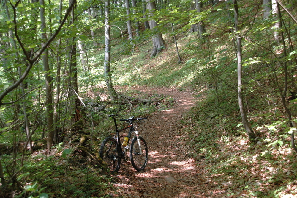
Transfer auf Schotter von Schönau nach Unterelsbach; kurzer Wurzeltrail (uphill) nach Oberelsbach; über Urspringen zum Schweinfurter Haus (bewirtet); von dort netter Downhill zurück nach Oberelsbach.
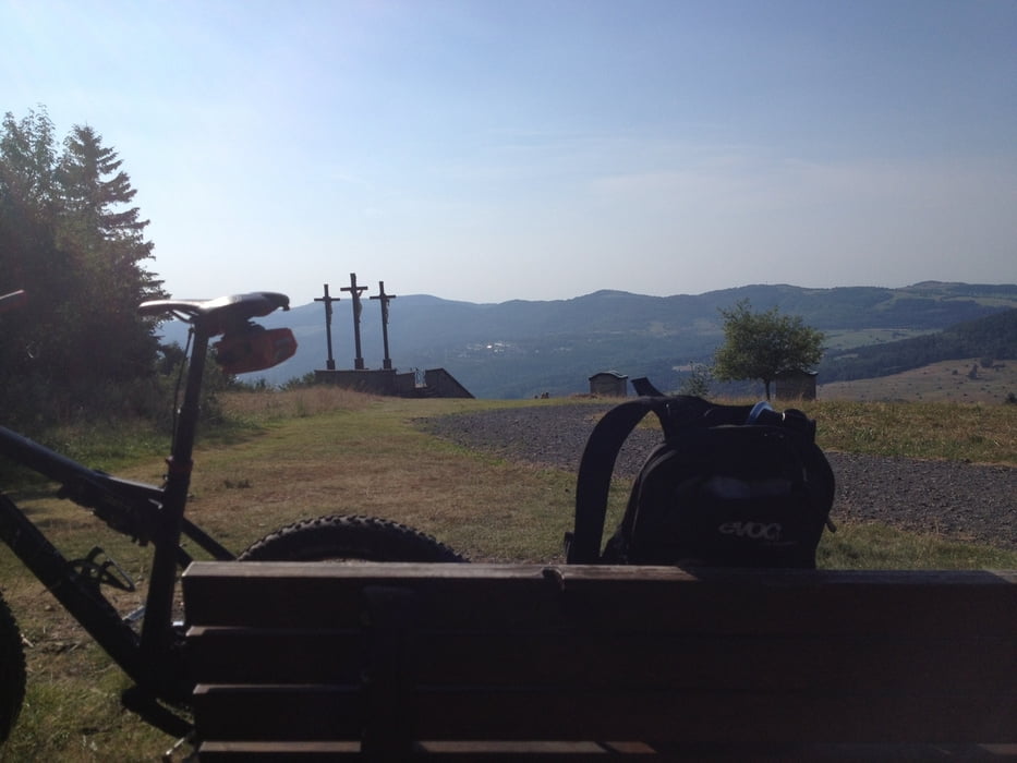
Am Sportplatz vorbei Richtung Basaltsee (Kiosk teilweise bewirtet), rüber zum Franzosenweg und hoch zum Heidelstein (Sendemast); Abfahrt übers Rote Moor zum Himmeldunk und von dort runter nach Oberweisenbrunn. Am Skilift hoch Richtung Arnsberg und von dort weiter zum Kloster Kreuzberg. Über den Gipfel (Sendemast) runter zum Neustädter Haus, Flowtrail mitnehmen (ggf. mehrmals :) ) und dann entweder über Wallweg oder Jägersteig (Plan B) zurück nach Schönau.
Kaffee und Kuchen gibt es in Schönau im Gasthaus Krone in der Dorfmitte.
Geht mit Hardtail, macht aber mit Fully deutlich mehr Spaß!
Tour gallery
Tour map and elevation profile
Minimum height 312 m
Maximum height 916 m
More about the tour author
|
|
stumpi67 |
Comments

Kostenlos und legal parken kann man in Schönau an der Krummbachstraße zwischen Schwimmbad und Hotel Krummbachtal
GPS tracks
Trackpoints-
GPX / Garmin Map Source (gpx) download
-
TCX / Garmin Training Center® (tcx) download
-
CRS / Garmin Training Center® (crs) download
-
Google Earth (kml) download
-
G7ToWin (g7t) download
-
TTQV (trk) download
-
Overlay (ovl) download
-
Fugawi (txt) download
-
Kompass (DAV) Track (tk) download
-
Track data sheet (pdf) download
-
Original file of the author (gpx) download
More about the tour author
|
|
stumpi67 |
Add to my favorites
Remove from my favorites
Edit tags
Open track
My score
Rate