

Percorso che si sviluppa all'interno del Parco naturale regionale delle Prealpi Giulie. La specificità della zona è determinata dal contatto di tre aree biogeografiche diverse, mediterranea, illirica ed alpina, che concorrono a determinare una straordinaria biodiversità.
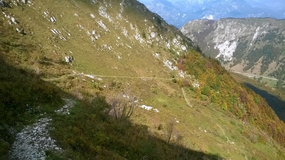
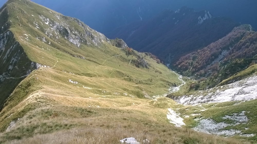
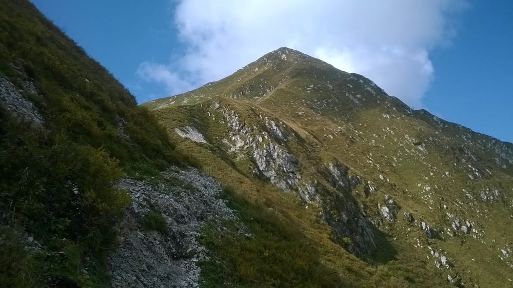
Lla salita dalla chiesetta di Sant'Anna alla Bocchetta di Zaiavor è da fare a piedi spingendo la bici su bel sentiero scorrevole, lasciando la bici alla bocchetta in 20/30 minuti si puo' salire in cima allo Zaiavor da dove si puo' godere dello stupendo panorama a 360° e ammirare lo stupendo panorama che spazia dal vicinissmo gruppo del Canin a quello del Montasio, sulle lunghe creste dei Musi e del Gran Monte, verso l'Austria, la Slovenja ed il mare.
Discesa a Passo Tanamea su bellissimo sentiero dal fondo compatto e liscio ciclabile al 90%
Further information at
http://www.parcoprealpigiulie.it/Tour gallery


Tour map and elevation profile
Minimum height 594 m
Maximum height 1816 m
More about the tour author

|
dalle6161 |
Comments

GPS tracks
Trackpoints-
GPX / Garmin Map Source (gpx) download
-
TCX / Garmin Training Center® (tcx) download
-
CRS / Garmin Training Center® (crs) download
-
Google Earth (kml) download
-
G7ToWin (g7t) download
-
TTQV (trk) download
-
Overlay (ovl) download
-
Fugawi (txt) download
-
Kompass (DAV) Track (tk) download
-
Track data sheet (pdf) download
-
Original file of the author (gpx) download
More about the tour author
|
|
dalle6161 |
Add to my favorites
Remove from my favorites
Edit tags
Open track
My score
Rate