Login

Forgot your login?

Cookies have to be accepted!
Your browser's cookie functionality is disabled. Please enable this functionality.

Not a member yet?

Register now
Login

Available for registred users only

Log in to use this feature.

Forgot your login?

Cookies have to be accepted!
Your browser's cookie functionality is disabled. Please enable this functionality.

Not a member yet?

Register now
Filter
Categories
Advanced filters
  • Distance (km)
  • Height
Save filters Reset filter

TrackRank

QRCode

Technical data

Distance195,4 km Height4750 m Way down4731 m Duration14:00 h:m Date10.10.2014
Scores Author User Landscape Fun factor Fitness Technique

Statistics

762 Views 1 Score 202 Downloads 3.00 Average
Rate
  • Track data sheet
  • Directions
  • Downloads

Variante 1 Tag, üblicherweise 3 - 4 Tage, bei Einhaltung der beschilderten Strecke ca. 182 km/4.900 hm 

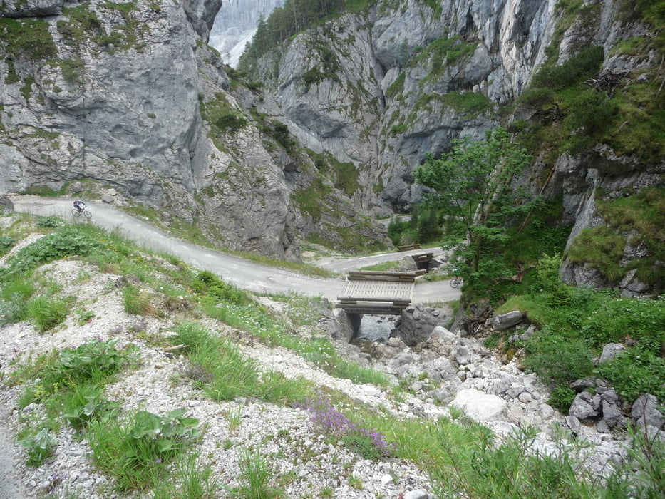
Eine wunderschöne Tour beginnend vom Hallstättersee durch das Ausseerland und Ennstal um den Dachstein herum. Die Dachsteinrunde Blau ist konditionell anspruchsvoll aber mit wenigen technischen Schwierigkeiten. Perfekt beschildert. 

Gestartet wurde in Bad Goisern, bzw. von einem Parkplatz direkt am Hallstättersee bei Steeg.


Tour gallery

Tour map and elevation profile

  • Open Street Map
  • Google
Minimum height 517 m Maximum height 1496 m Detailed view

More about the tour author

snooda
Member since 2009

Send private message

Comments

GPS tracks

Trackpoints
  • GPX / Garmin Map Source (gpx) download
  • TCX / Garmin Training Center® (tcx) download
  • CRS / Garmin Training Center® (crs) download
  • Google Earth (kml) download
  • G7ToWin (g7t) download
  • TTQV (trk) download
  • Overlay (ovl) download
  • Fugawi (txt) download
  • Kompass (DAV) Track (tk) download
  • Track data sheet (pdf) download
  • Original file of the author (gpx) download

More about the tour author

snooda
Member since 2009

Send private message
Share track
Add to my favorites
Remove from my favorites
Edit tags
My score
Rate
Track: Dachsteinrunde - Blaue Variante (1Day)
Type: Mountain bike
Distance: 195,4 km
Evaluated on:
Duration:
Day(s)
Hour(s)
Minute(s)
Score: Landscape Fun factor Fitness Technique