

S-Bahn-Ausflug ins Fünf-Seen-Land.
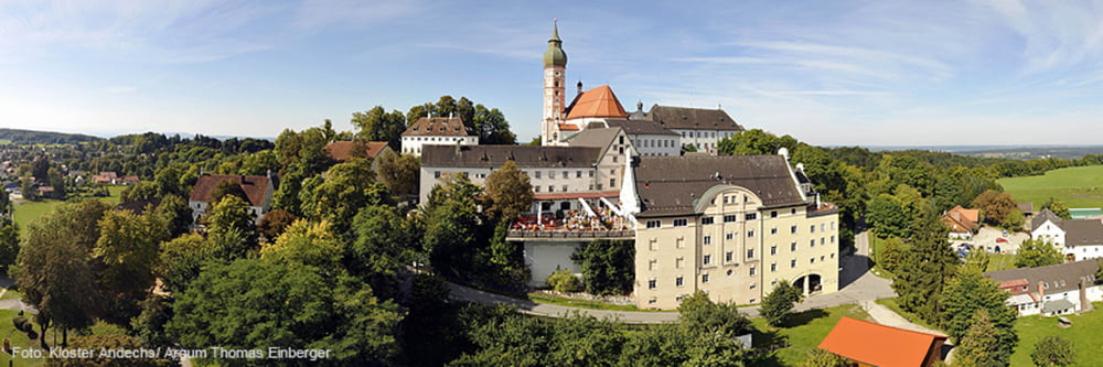
Wir fahren mit der S-8 von München bis zum Haltepunkt Steinebach. Über den König-Ludwig-Weg nach Seefeld und nach dem Schloss entlang dem Bachlauf bis Widdersberg. Entlang dem Höhenzug zur Brotzeit nach Andechs. Von Erling folgen wir dem Panoramaweg bis nach Kerschlach. Von hier gehts überwiegend bergab bis nach Tutzing und mit der S-Bahn S-6 zurück nach München.
Tour map and elevation profile
Minimum height 550 m
Maximum height 746 m
More about the tour author

|
bernd_brinck |
Comments

Von München mit der S-Bahn nach Steinebach und von Tutzing zurück nach München
GPS tracks
Trackpoints-
GPX / Garmin Map Source (gpx) download
-
TCX / Garmin Training Center® (tcx) download
-
CRS / Garmin Training Center® (crs) download
-
Google Earth (kml) download
-
G7ToWin (g7t) download
-
TTQV (trk) download
-
Overlay (ovl) download
-
Fugawi (txt) download
-
Kompass (DAV) Track (tk) download
-
Track data sheet (pdf) download
-
Original file of the author (gpx) download
More about the tour author
|
|
bernd_brinck |
Add to my favorites
Remove from my favorites
Edit tags
Open track
My score
Rate