


Fahrt auf dem Unstrut Radweg durch eine ursprüngliche Auenlandschaft und durch nette, kleine Orte bis man dann vor dem Stadtor von Mühlhausen steht und aus dem Staunen gar nicht herauskommt: Stadttore, Wallanlage und Graben: man fühlt sich wie im Mittelalter.
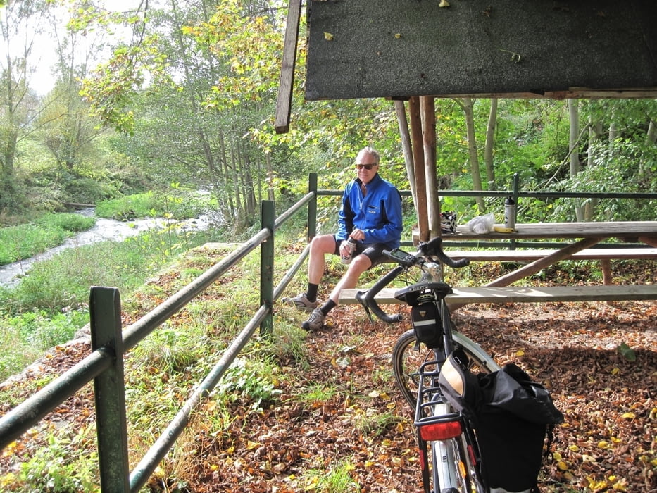
Tour gallery


Tour map and elevation profile
Minimum height 215 m
Maximum height 406 m
More about the tour author
|
|
sugesei |
Comments

Mit dem Auto Ausschilderung zur Unstrutquelle folgen. Von Mühlhausen mit der Bahn zurück bis Silberhausen und dann 6 km zurück zum Ausgangspunkt. Rad im Zug kostet in Thüringen nix extra.
GPS tracks
Trackpoints-
GPX / Garmin Map Source (gpx) download
-
TCX / Garmin Training Center® (tcx) download
-
CRS / Garmin Training Center® (crs) download
-
Google Earth (kml) download
-
G7ToWin (g7t) download
-
TTQV (trk) download
-
Overlay (ovl) download
-
Fugawi (txt) download
-
Kompass (DAV) Track (tk) download
-
Track data sheet (pdf) download
-
Original file of the author (gpx) download
More about the tour author
|
|
sugesei |
Add to my favorites
Remove from my favorites
Edit tags
Open track
My score
Rate