


Start in der Falkenstraße, am Kreisel vorbei, der neuen Blumenschmuck erhält, über die Umgehungsstraße und die Stadt zur Karlshöhe und parallel zur Landstraße L 868 Ri. Grünewald, weiter bis Ostendorf und hinunter nach Husen, weiter zur Heesfelder Mühle und über Steinbach steil hoch nach Othmaringhausen (schon lange nicht mehr gefahren), Dann Ri. Schöneberge und weiter Ri. Krausebuche, vorher nach li. in den Wald bis zur L 528 und dann mit einer kleinen Pause am Eis-Cafe am "Alten Markt" nach Hause.
Das ungewohnt schöne Herbstwetter verführt natürlich. Auf diesem kurzen Trip bin ich mal wieder Teilstücke gefahren, die ich schon längst vergessen hatte. War richtig schön.
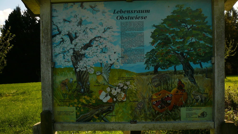
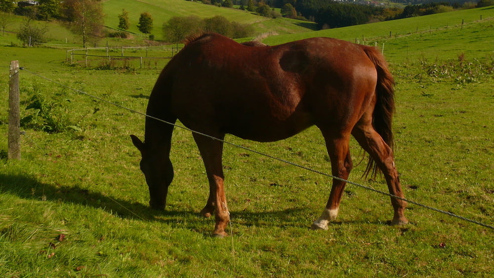
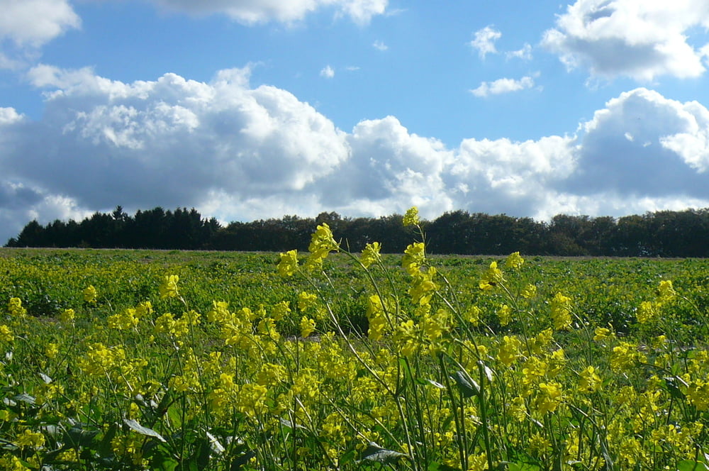
Tour gallery

Tour map and elevation profile
Minimum height 289 m
Maximum height 448 m
More about the tour author
|
|
neuser |
Comments

GPS tracks
Trackpoints-
GPX / Garmin Map Source (gpx) download
-
TCX / Garmin Training Center® (tcx) download
-
CRS / Garmin Training Center® (crs) download
-
Google Earth (kml) download
-
G7ToWin (g7t) download
-
TTQV (trk) download
-
Overlay (ovl) download
-
Fugawi (txt) download
-
Kompass (DAV) Track (tk) download
-
Track data sheet (pdf) download
-
Original file of the author (gpx) download
More about the tour author
|
|
neuser |
Add to my favorites
Remove from my favorites
Edit tags
Open track
My score
Rate