


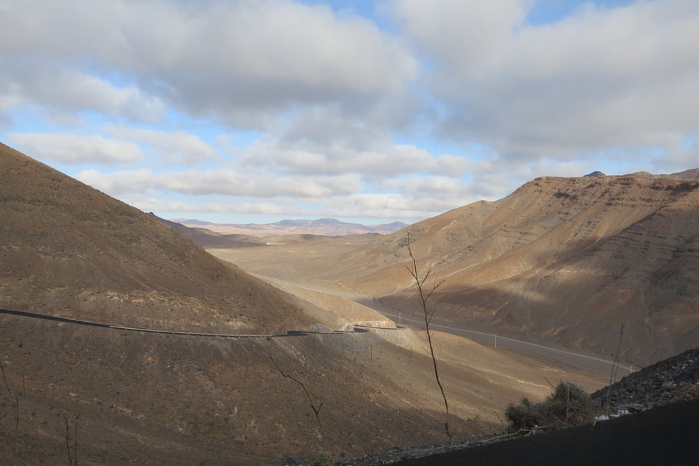
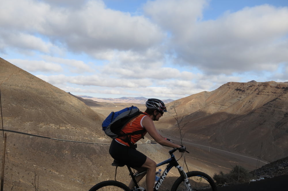
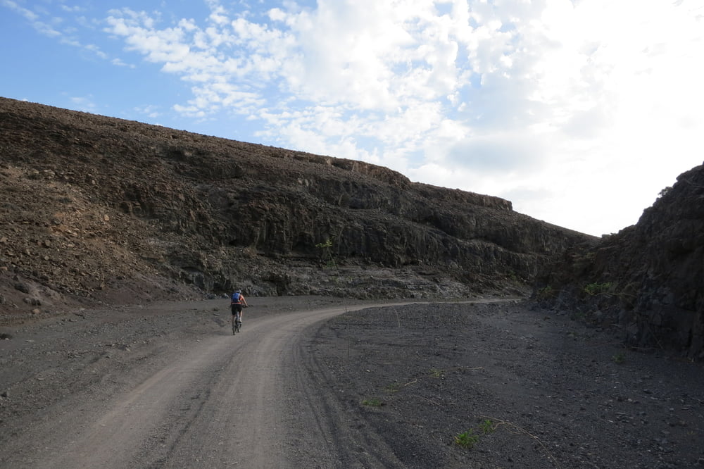
Die Tour bietet gute Aussichten, aber auf viel nervigen Hoppelschotterpisten.
Wir starten am Parkplatz vom" Playitas - Hotel" zur Leuchturmstraße. Biegen links auf einem Schotterweg ein und treffen später wieder auf die grob geteerte Leuchturmstraße und bleiben auf dieser.
Auf "Faro de La Entallada" angekommen hat man eine schöne Aussicht auf das Meer und Landschaft. Wir fahren die kurze Passstraße wieder hinunter und biegen rechts auf einem Schotterweg ein zum Strand. Den muss man aber nicht gesehen haben!
Von der Leuchturmstraße biegen wir später wieder rechts ab und machen einen großen Bogen zurück zum Ausgangspunkt.
Das beste kommt zum Schluss, ein kurzer Trail vor dem Hotel.
Tipp: Im Sportladen von Playitas Resort, kann man Fahrräder (MTB, Rennräder u.s.w.) buchen. Anschließend im Bike Shop in Empfang nehmen.
Further information at
http://www.playitas.info/deTour gallery

Tour map and elevation profile
Minimum height 11 m
Maximum height 190 m
More about the tour author
|
|
W-C |
Comments

Anfahrt Playitas - Hotel:
Von Puerto Del Rosario kommend auf der Fv-2, abbiegen auf die Fv-4 Richtung Gran Tarajal, dann abbiegen auf die Fv-512 Richtung Las Playitas. Am Kreisverkehr rechts zum Playitas Resort Hotel.
Parkplatz Koordinaten:
N28° 13.802'
W13° 59.327'
GPS tracks
Trackpoints-
GPX / Garmin Map Source (gpx) download
-
TCX / Garmin Training Center® (tcx) download
-
CRS / Garmin Training Center® (crs) download
-
Google Earth (kml) download
-
G7ToWin (g7t) download
-
TTQV (trk) download
-
Overlay (ovl) download
-
Fugawi (txt) download
-
Kompass (DAV) Track (tk) download
-
Track data sheet (pdf) download
-
Original file of the author (gpx) download
More about the tour author
|
|
W-C |
Add to my favorites
Remove from my favorites
Edit tags
Open track
My score
Rate