


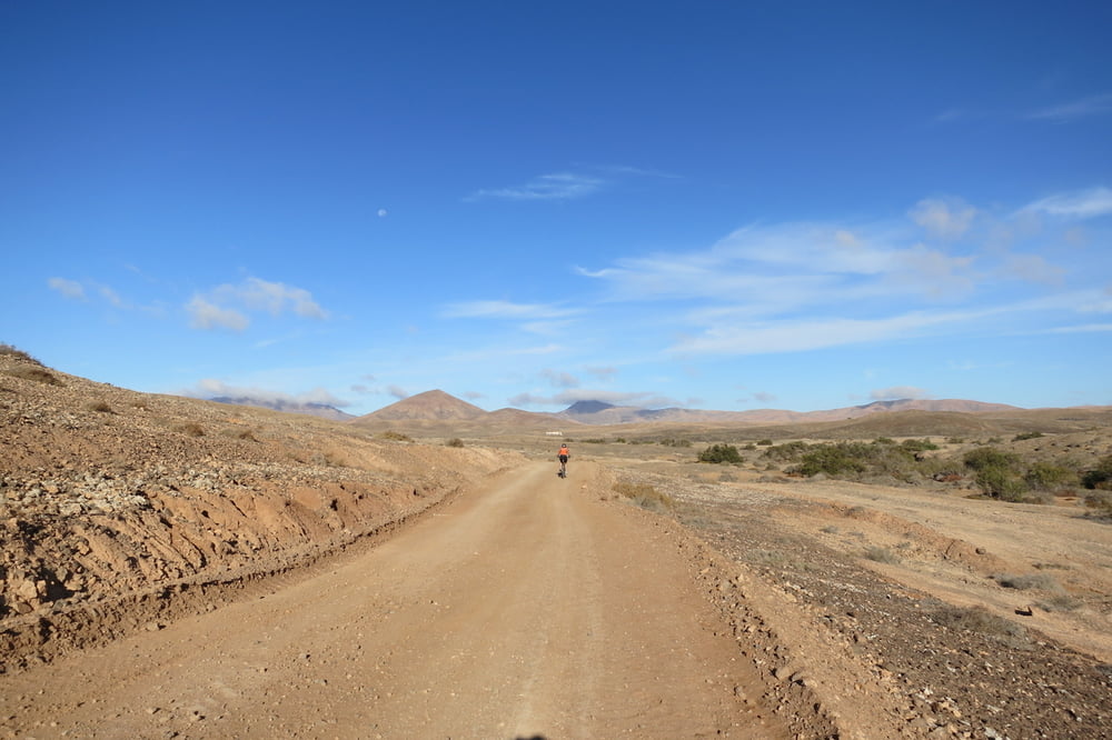
Die Tour verläuft meist auf langweiligen Schotterpisten. Ca. 6 km sind wir auf der wenig befahrenen FV-56 nach La Lajita geradelt. Wer das nicht möchte, kann daneben ausweichen.
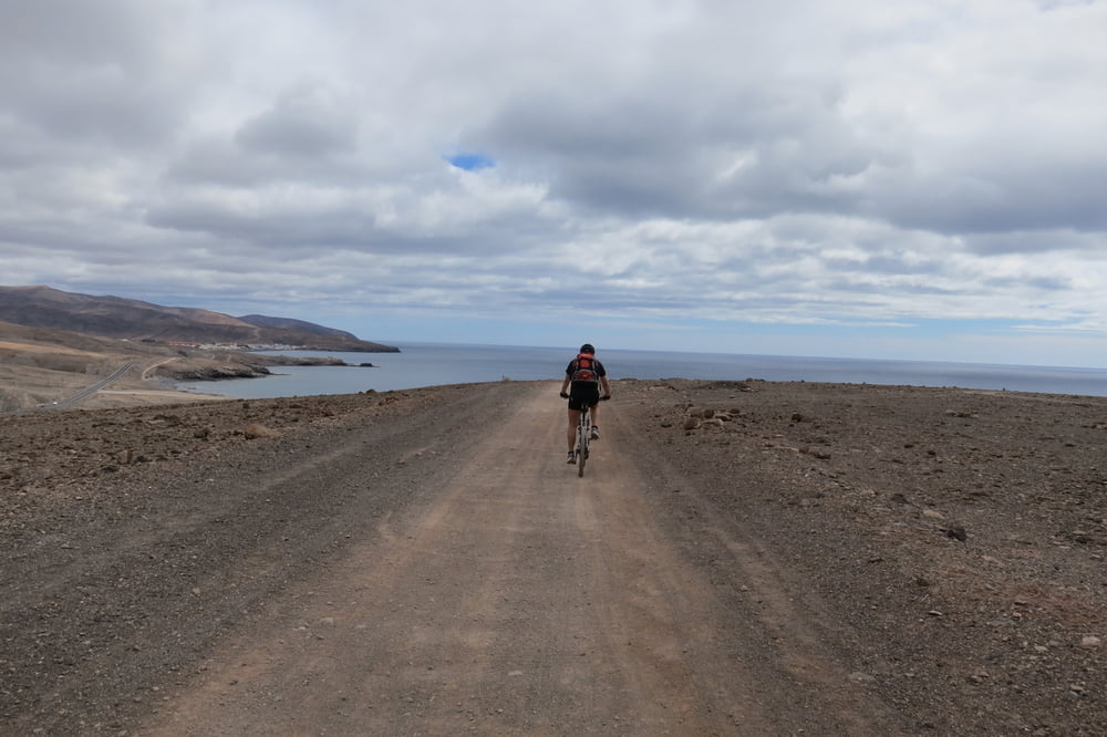
Das beste kommt meist zum Schluss. Ein kurzer Trail vor dem Hotel.
Tipp: Im Sportladen von "Playitas Resort" kann man Fahrräder buchen (MTB, Rennräder u.s.w.). Anschließend im Bike Shop in Empfang nehmen.
Further information at
http://www.playitas.info/deTour gallery

Tour map and elevation profile
Minimum height 9 m
Maximum height 243 m
More about the tour author
|
|
W-C |
Comments

Anfahrt Playitas Hotel:
Von Puerto Del Rosario kommend auf der Fv-2, abbiegen auf die Fv-4 Richtung Gran Tarajal, dann abbiegen auf die Fv-512 Richtung Las Playitas. Am Kreisverkehr rechts zum Playitas Resort Hotel.
Parkplatz Koordinaten:
N28° 13.802'
W13° 59.327'
GPS tracks
Trackpoints-
GPX / Garmin Map Source (gpx) download
-
TCX / Garmin Training Center® (tcx) download
-
CRS / Garmin Training Center® (crs) download
-
Google Earth (kml) download
-
G7ToWin (g7t) download
-
TTQV (trk) download
-
Overlay (ovl) download
-
Fugawi (txt) download
-
Kompass (DAV) Track (tk) download
-
Track data sheet (pdf) download
-
Original file of the author (gpx) download
More about the tour author
|
|
W-C |
Add to my favorites
Remove from my favorites
Edit tags
Open track
My score
Rate