


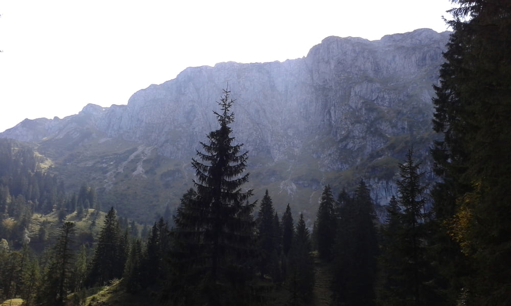
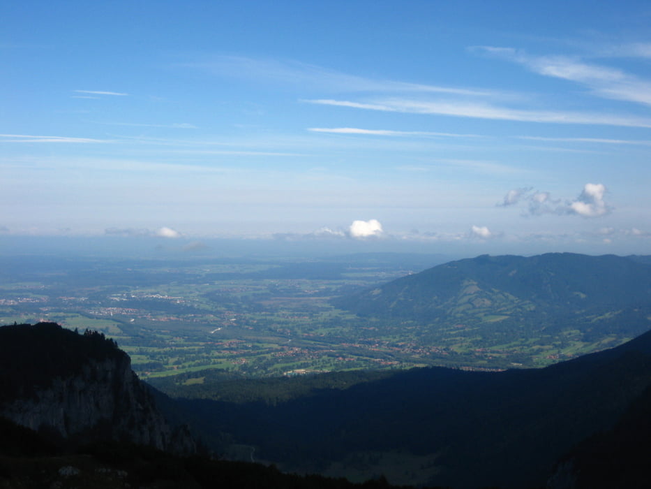
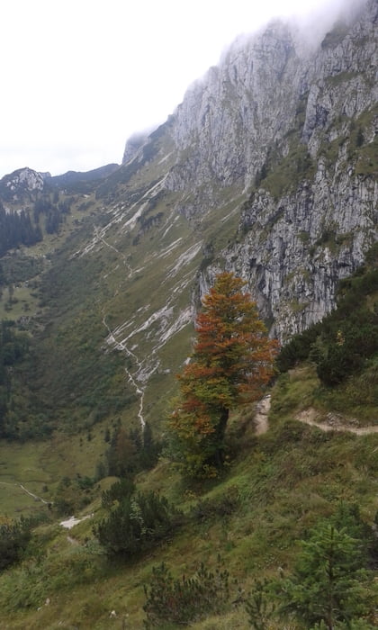
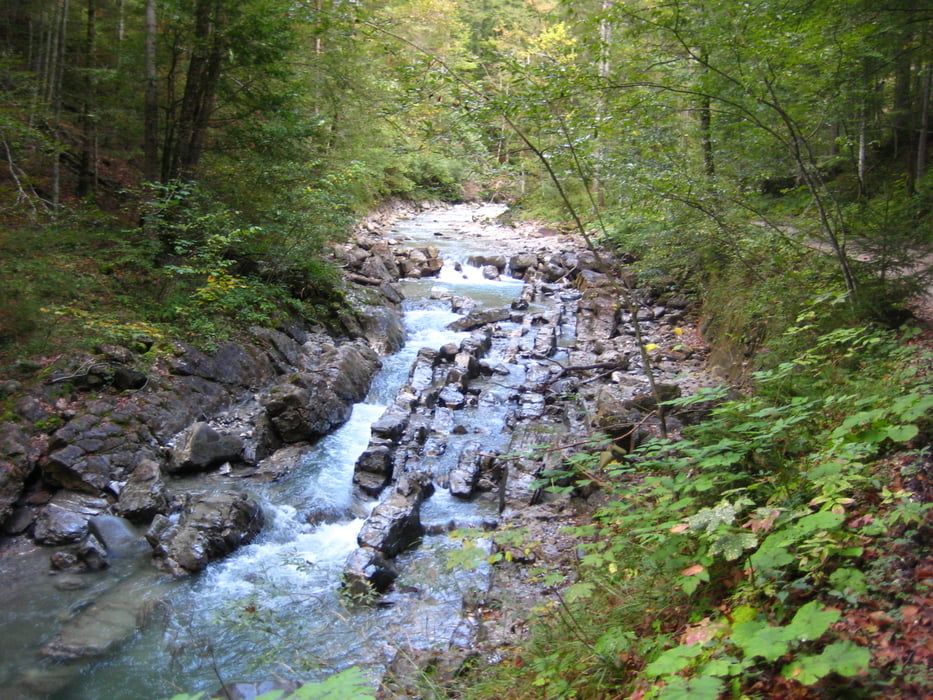
Auf einerbreiten Forststraße geht's hinauf zur Materialseilbahn der Tutzinger Hütte. Von dort gehts weiter zu Fuß zur besagten Tutzinger Hütte. Nach einem Snack gehts an der Weggabelung nach links über einen Sattel auf die östliche Schulter der Benediktenwand. Nach einem kurzen Stück, was Trittsicherheit und etwas Schwindelfreiheit erfordert geht's durch Latschen bis zum Gipfel. Der Abstieg ist ähnlich und einfacher. Man kann die Tour auch umdrehen. Wieder am Radl geht's dann nicht die Forststraße, sondern rechts hinunter. Der Weg zum Lainbach hinunter wird dann steiler und schwieriger, aber bleibt immer fahrbar. Am Lainbach entlang geht's zurück zum Parkplatz.
Tour gallery
Tour map and elevation profile
Minimum height 702 m
Maximum height 1847 m
More about the tour author
|
|
Seebi |
Comments

von München über A95 bis zur Ausfahr Sindelsdorf. Dann nach Benedikbeueren zum Parkplatz am Schwimmbad.
GPS tracks
Trackpoints-
GPX / Garmin Map Source (gpx) download
-
TCX / Garmin Training Center® (tcx) download
-
CRS / Garmin Training Center® (crs) download
-
Google Earth (kml) download
-
G7ToWin (g7t) download
-
TTQV (trk) download
-
Overlay (ovl) download
-
Fugawi (txt) download
-
Kompass (DAV) Track (tk) download
-
Track data sheet (pdf) download
-
Original file of the author (gpx) download
More about the tour author
|
|
Seebi |
Add to my favorites
Remove from my favorites
Edit tags
Open track
My score
Rate