


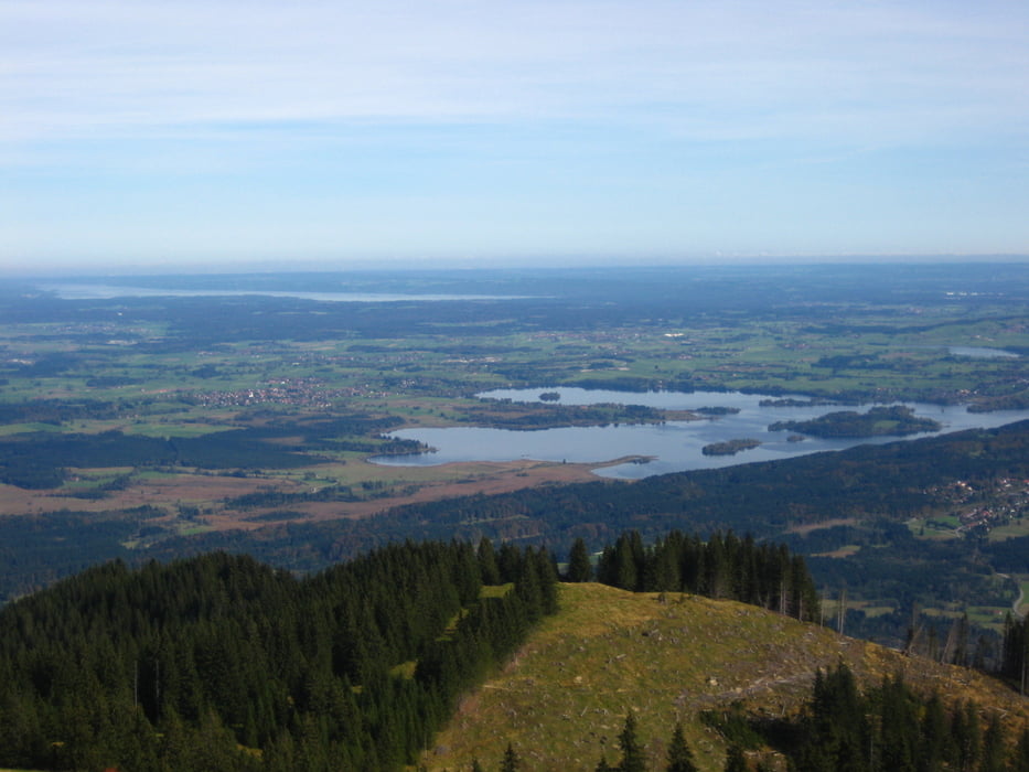
Schöne Tour mit zwei Anstiegen.
Zuerst fährt man vom Murnauer Moos zum Stattel "Drei Marken". Von dort sind es noch 300 hm zum Hörlegipfel zu Fuß, was sich mehr als lohnt. Anschließend gehts Flott nach Ammergau. nach einer Stärkung geht's an der Labertalstation vorbei zum zweiten Sattel. Von dort geht ein steiler rolliger Trail zu einer Forststraße, auf der man dann zurück ins Moos fahren kann.
Genaueres siehe Moser Bike Guide II #27
Tour gallery


Tour map and elevation profile
Minimum height 623 m
Maximum height 1547 m
More about the tour author
|
|
Seebi |
Comments
von München über A95 bis zur letzten Ausfahrt Eschenlohe. Dort direkt unter der Autobahnbrücke oder am Straßenrand sind immer Parplätze frei, wenn man Parkplatzsuche im Ort vermeiden will.
GPS tracks
Trackpoints-
GPX / Garmin Map Source (gpx) download
-
TCX / Garmin Training Center® (tcx) download
-
CRS / Garmin Training Center® (crs) download
-
Google Earth (kml) download
-
G7ToWin (g7t) download
-
TTQV (trk) download
-
Overlay (ovl) download
-
Fugawi (txt) download
-
Kompass (DAV) Track (tk) download
-
Track data sheet (pdf) download
-
Original file of the author (gpx) download
More about the tour author
|
|
Seebi |
Add to my favorites
Remove from my favorites
Edit tags
Open track
My score
Rate
Wege
Die Tour gibt es nicht mehr!!!!!