


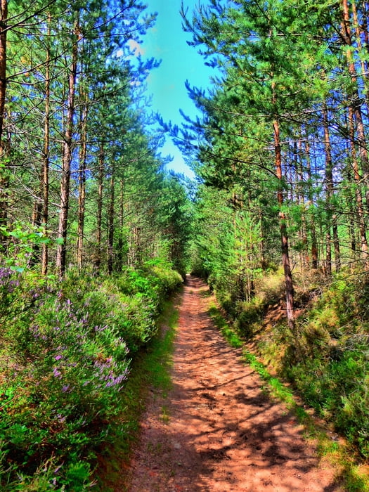
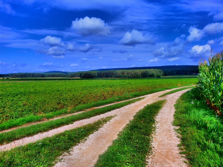
Kleiner Rundweg von Büchenbach über Kühedorf und Tennenlohe zurück nach Büchenbach
Start kann am Rathaus in Büchenbach sein (auch öffentlich erreichbar).
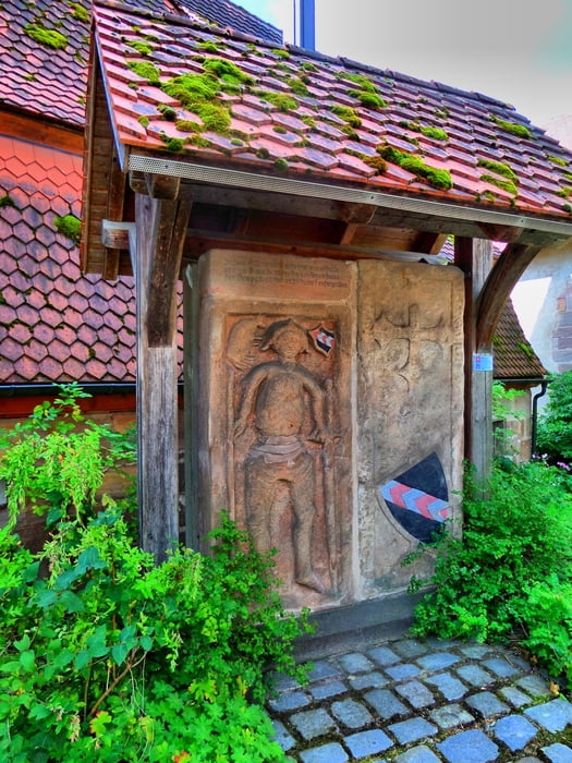
In Kühedorf ist eine Einkehr möglich.
Ruhige und leichte Wanderung.
Viel Spaß beim Entdecken
Further information at
http://www.buechenbach.de/Tour gallery
Tour map and elevation profile
Minimum height 355 m
Maximum height 435 m
More about the tour author
|
|
Rezatfisch |
Comments

Kleiner Rundweg von Büchenbach über Kühedorf und Tennenlohe zurück nach Büchenbach
Start kann am Rathaus in Büchenbach sein (auch öffentlich erreichbar).
In Kühedorf ist eine Einkehr möglich.
Ruhige und leichte Wanderung.
Viel Spaß beim Entdecken
GPS tracks
Trackpoints-
GPX / Garmin Map Source (gpx) download
-
TCX / Garmin Training Center® (tcx) download
-
CRS / Garmin Training Center® (crs) download
-
Google Earth (kml) download
-
G7ToWin (g7t) download
-
TTQV (trk) download
-
Overlay (ovl) download
-
Fugawi (txt) download
-
Kompass (DAV) Track (tk) download
-
Track data sheet (pdf) download
-
Original file of the author (gpx) download
More about the tour author
|
|
Rezatfisch |
Add to my favorites
Remove from my favorites
Edit tags
Open track
My score
Rate