Login

Forgotten password?

Cookies have to be accepted!
Your browser's cookie functionality is disabled. Please enable this functionality.

Not a member yet?

Register now
Login

Available for registred users only

Log in to use this feature.

Forgotten password?

Cookies have to be accepted!
Your browser's cookie functionality is disabled. Please enable this functionality.

Not a member yet?

Register now
Filter
Categories
Advanced filters
  • Distance (km)
  • Height
Save filters Reset filter

TrackRank

QRCode

Technical data

Distance12,0 km Height856 m Way down752 m Duration04:00 h:m Date03.11.2014
Scores Author Landscape Fun factor Fitness Technique

Statistics

890 Views Scores 96 Downloads Average
Rate
  • Track data sheet
  • Directions
  • Downloads

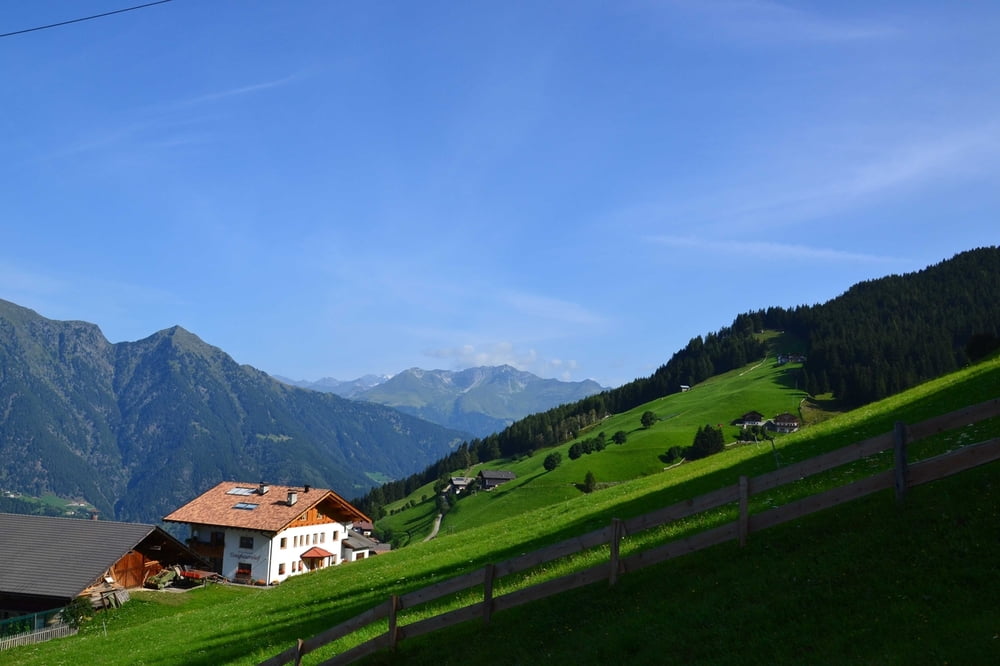
Die Tour beginnt an der Mittelstation der Hirzer Seilbahn.

Von dort führt sie über die Staffelalm zur Einkehr an der Tallner Alm. Sehr leckere Wurstsuppe! Anschließend über Hochwies zurück nach Prenn.
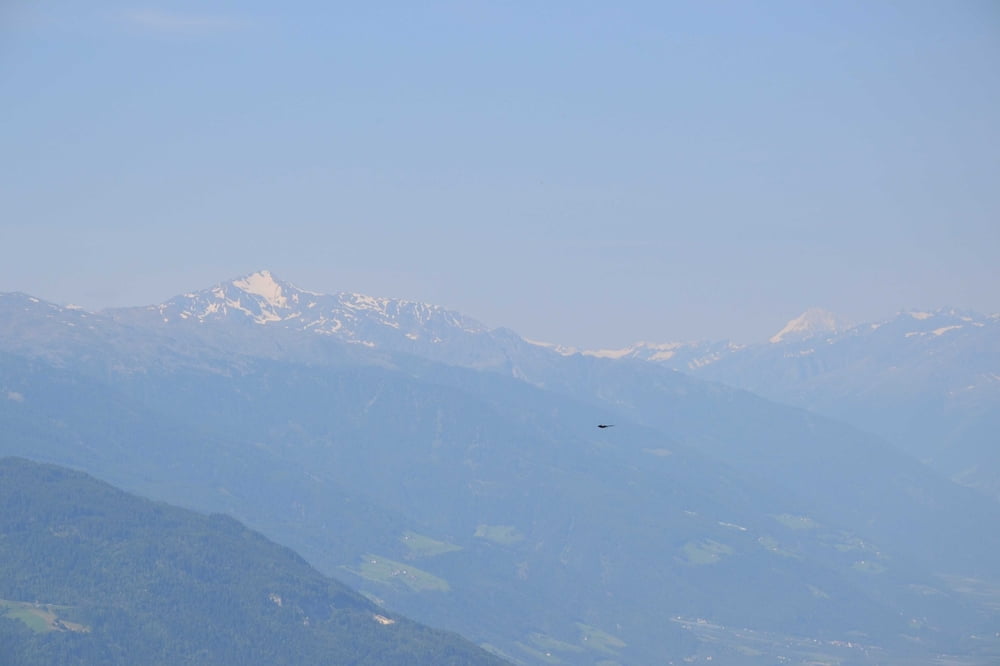
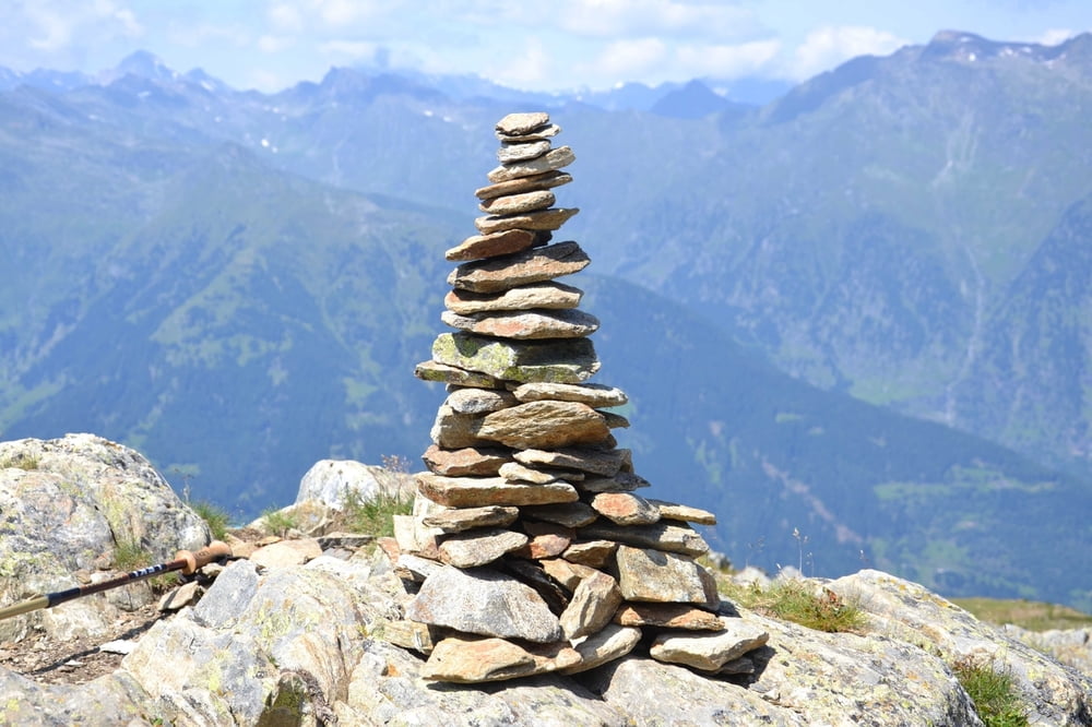
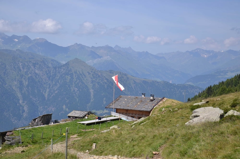
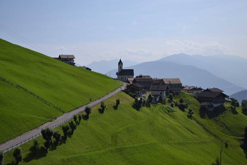


Tour gallery

Tour map and elevation profile

  • Open Street Map
  • Google
Minimum height 1339 m Maximum height 2145 m Detailed view

More about the tour author

msdetroit
Member since 2007

Send private message

Comments

GPS tracks

Trackpoints
  • GPX / Garmin Map Source (gpx) download
  • TCX / Garmin Training Center® (tcx) download
  • CRS / Garmin Training Center® (crs) download
  • Google Earth (kml) download
  • G7ToWin (g7t) download
  • TTQV (trk) download
  • Overlay (ovl) download
  • Fugawi (txt) download
  • Kompass (DAV) Track (tk) download
  • Track data sheet (pdf) download
  • Original file of the author (gpx) download

More about the tour author

msdetroit
Member since 2007

Send private message
Share track
Add to my favorites
Remove from my favorites
Edit tags
My score
Rate
Track: Almenweg am Hirzer
Type: Hiking
Distance: 12,0 km
Evaluated on:
Duration:
Day(s)
Hour(s)
Minute(s)
Score: Landscape Fun factor Fitness Technique