


Eigentlich wollte ich mich von der schlechten Wettervorhersage nicht abschrecken, aber diesmal wäre fast besser gewesen.
Die Tour ging bestens Ausgeschildert vom Parkplatz Feistritzsattel über dem Themenweg Jagd und Forst Richtung Dreiländereck und von dort auf den Hochwechsel. Von dort runter zur Marienseer Schwaig und auf der Strecke der Panoramaloipe zurück zum Auto.
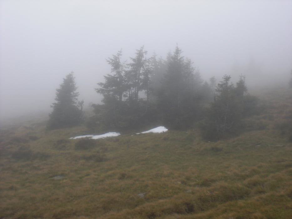
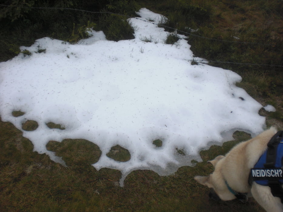
Während der gesamten Tour gab es Sturm, Nebel und Regen wahrlich ein echter Leckerbissen für Schlechtwetter-Fans.
Further information at
http://www.loipeninfo.at/default.asp?tt=WELAND_R8Tour gallery

Tour map and elevation profile
Minimum height 1276 m
Maximum height 1759 m
More about the tour author
|
|
Yeti2333 |
Comments

Über die S1, A2 und S6 nach Gloggnitz von dort den grünen Wegweisern Richtung Wechselgebiet folgen und über Schlagl, Otternthal und Trattenbach auf den Feistritzsattel.
GPS tracks
Trackpoints-
GPX / Garmin Map Source (gpx) download
-
TCX / Garmin Training Center® (tcx) download
-
CRS / Garmin Training Center® (crs) download
-
Google Earth (kml) download
-
G7ToWin (g7t) download
-
TTQV (trk) download
-
Overlay (ovl) download
-
Fugawi (txt) download
-
Kompass (DAV) Track (tk) download
-
Track data sheet (pdf) download
-
Original file of the author (gpx) download
More about the tour author
|
|
Yeti2333 |
Add to my favorites
Remove from my favorites
Edit tags
Open track
My score
Rate